Skip to main content
Út um allt ... höfuðborgarsvæðið
en
is
Home
Hiking Routes
Map of Hiking Routes
Bike Routes
Map of Bike Routes
Running Routes
Map of Running Routes
Outdoor Areas
Map of Outdoor Areas
Swimming Pools
Map of Swimming Pools
About the Website
How do I use the Website?
Visit Reykjavík
1-2m
1-2m - Between one and two meters
Image
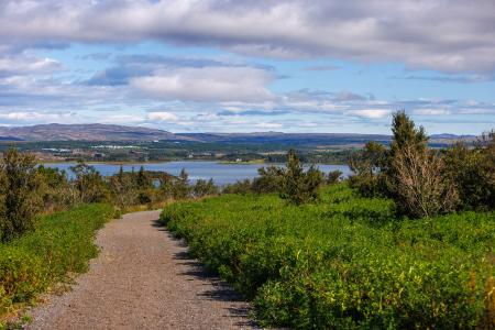
Guðmundarlundur and Elliðavatn
Walk:
5.01km
Difficulty
Level 1
This circular hiking route, starting at Guðmundarlundur, goes around the uninhabited…
Kópavogur
Image
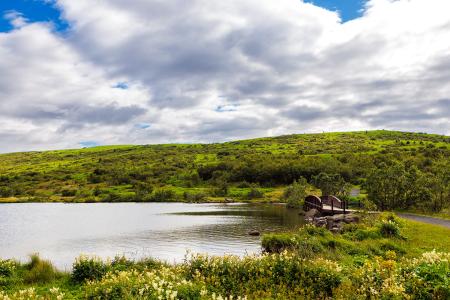
Vífilsstaðavatn
Walk:
2.62km
Difficulty
Level 1
A short and enjoyable walking trail around Vífilsstaðavatn, perfect for anyone looking to…
Garðabær
Pagination
First page
« First
Previous page
‹‹
Page
1
Page
2
Page
3