Guðmundarlundur and Elliðavatn
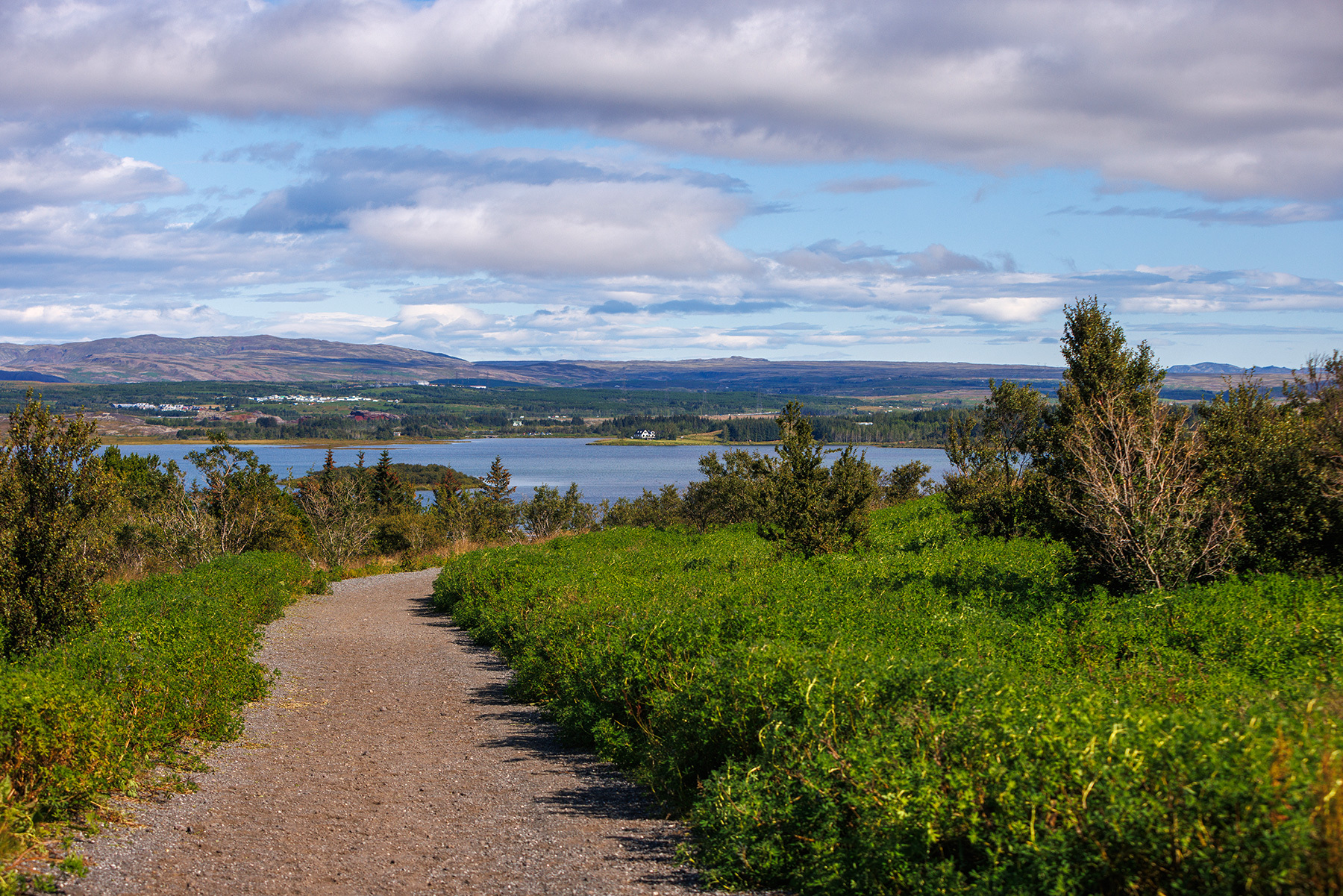
The trail follows a circular route around Elliðavatn and through Vatnsendahlíð. The hike starts at Guðmundarlundur, located on the southern side of Vatnsendahlíð, and can be taken in either direction. During the summer, hikers are especially encouraged to observe the birds, as the route passes through several ecosystems. Along the way, visitors may encounter songbirds in the forested Guðmundarlundur and surrounding shrublands, while in Vatnsendahlíð, the path runs through the habitat of moorland birds. Additionally, waterfowl can be spotted on Elliðavatn. On clear days, panoramic views of the surrounding mountains can be enjoyed, and it is interesting to imagine Elliðavatn as it was before becoming a reservoir about a century ago, when it significantly expanded in size. The trail is accessible year-round, although in winter, when snow accumulates, it may be advisable to park at the Kórinn sports hall. The route consists of diverse paths, some of which can become wet in rainy weather, while others include gravel roads and newly paved trails. The area features an intricate network of walking and riding trails. Walkers and cyclists should be mindful of horses, as they can be skittish and react to sudden noises or movements. A good rule of thumb when encountering riders is to step aside and wait calmly while they pass.
Guðmundarlundur
Detailed Information
Duration
Distance
Difficulty
Cumulative Elevation Gain
Maximum Altitude
Available
Access
Path Visibility
Path Lighting
Path Width
Path Dangers
Path Obstacles
Services
Gpx Start Point
Gpx Starting Point Elevation
Cumulative Elevation Loss
Maximum Altitude Coordination
Minimum Altitude
Minimum Altitude Coordinations
Route Distance
Service Notes
In the summer, restrooms are available at Guðmundarlundur.