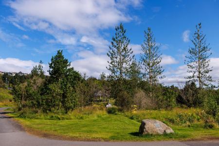
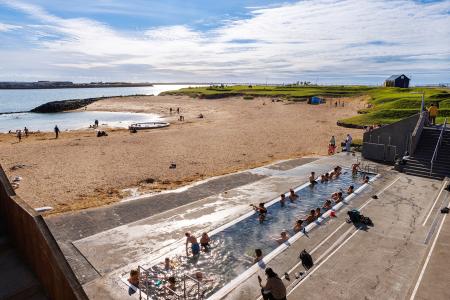
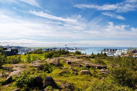
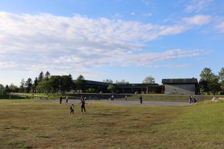
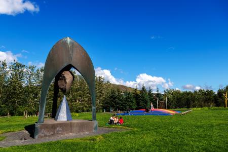
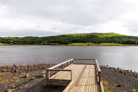
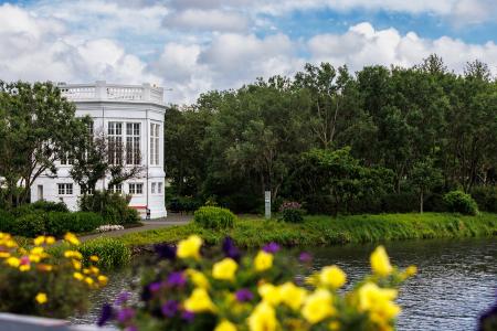
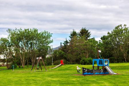
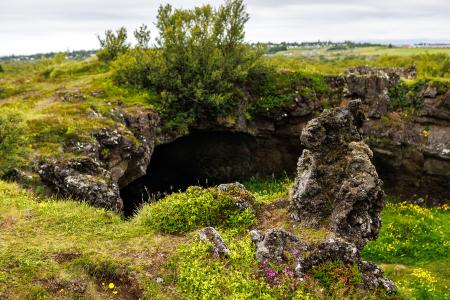
Hiking Routes in the Capital Area Map of Bike and Hiking Routes Map of Outdoor Areas Image Selfjall and Sandfell Walk: 6.19km Difficulty Level 2 Selfjall and Sandfell are easily accessible and scenic hiking destinations on the outskirts of… Kópavogur Image Æsustaðafell and Reykjafell Walk: 6.32km Difficulty Level 2 The hike to Æsustaðafjall and Reykjafell is a family-friendly loop in Mosfellsdalur, featuring… Mosfellsbær Image Reykjaborg and Lali Walk: 6.86km Difficulty Level 2 The two mountains Reykjaborg and Lali are neither steep nor high, making them ideal for a… Mosfellsbær Image Úlfarsfell from Skarhólabraut Walk: 3.55km Difficulty Level 1 A well-marked and family-friendly hiking trail from Skarhólabraut up to the top of Úlfarsfell… Mosfellsbær Reykjavík All bike and hiking routes Bike Routes in the Capital Area Map of Bike and Hiking Routes Map of Outdoor Areas Image The Kópavogur Circle Bike: 11.73km Difficulty Level 1 A scenic cycling route around Kópavogur, which includes cycling along Kársnes and Fossvogur. Kópavogur Image The Garðabær Circle Bike: 7.08km Difficulty Level 1 A scenic cycling route through the town of Garðabær. Garðabær Image Fossvogsdalur Bike: 6.27km Difficulty Level 1 Biking through Fossvogsdalur offers a scenic ride along lush trails, with vibrant birdlife and… Kópavogur Reykjavík Image Elf Circle in Hafnarfjörður Bike: 6.14km Difficulty Level 1 A beautiful cycling route that starts at Hellisgerði and runs through Víðistaðatún, along the… Hafnarfjörður All bike and hiking routes Outdoor Areas in the Capital Area Map of Bike and Hiking Routes Map of Outdoor Areas Image Nauthólsvík Outdoor Area Nauthólsvík Geothermal Beach is a paradise for people who love splashing around in the ocean… Municipality Reykjavík Image Hamarinn Outdoor Area Hamarinn is a striking landmark in Hafnarfjörður and a popular outdoor recreation area. Municipality Hafnarfjörður Image Klambratún Outdoor Area Klambratún is one of the larger public parks in Reykjavík and is a very popular outdoor… Municipality Reykjavík Image Stekkjarflöt Outdoor Area Stekkjarflöt is an outdoor paradise near Álafosskvos and Varmá, offering a wide range of… Municipality Mosfellsbær Image Hvaleyrarvatn Outdoor Area Hvaleyrarvatn is a beautiful lake surrounded by forest and vegetation. The area is ideal for… Municipality Hafnarfjörður Image Hljómskálagarðurinn Outdoor Area Tjörnin and Hljómskálagarðurinn are beloved landmarks in Reykjavík, offering a unique… Municipality Reykjavík Image Bakkagarður Outdoor Area Bakkagarður boasts a playground with diverse play equipment, such as swings and slides. The… Municipality Seltjarnarnes Image Maríuhellar Outdoor Area Maríuhellar in Heiðmörk refer to three caves located in Svínahraun, near the intersection of… Municipality Garðabær All Outdoor Areas