Skip to main content
Út um allt ... höfuðborgarsvæðið
en
is
Filters
(
0
)
Enter a search string
Clear filters
Clear filters
Walk
Running
Bike
Municipality
Reykjavík
Garðabær
Mosfellsbær
Kópavogur
Hafnarfjörður
Seltjarnarnes
Path Surface
Other
Gravel
Asphalt
Grass
Swamp
Lava
Tufts
Wood chip
Rocky
Timber
Facet Path Surface
Duration
1 - 2 hours
(-)
30 - 60 minutes
(-)
2 - 3 hours
30 minutes
3 - 4 hours
Facet Duration
Difficulty
Level 2
Level 1
For Everybody
Level 3
Facet Difficulty
Area Access
Facet Area Access
Area services
Facet Area services
Area Type
Facet Area Type
Aðstaða
Facet Aðstaða
Home
Hiking Routes
Map of Hiking Routes
Bike Routes
Map of Bike Routes
Running Routes
Map of Running Routes
Outdoor Areas
Map of Outdoor Areas
Swimming Pools
Map of Swimming Pools
About the Website
How do I use the Website?
Visit Reykjavík
Image
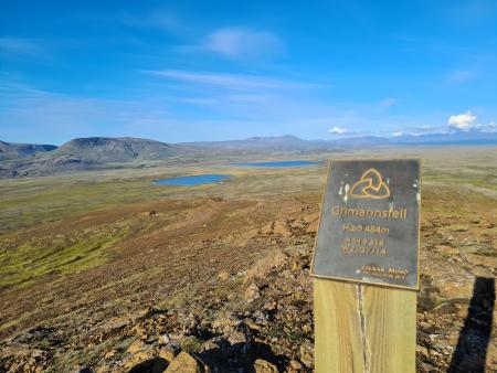
Grímannsfell from Gljúfrasteinn
Running:
10.54km
Difficulty
Level 3
A challenging mountain run on Grímannsfell, the highest mountain in the Mosfellsbær area (484…
Mosfellsbær
Image
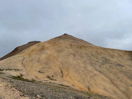
Móskarðshnjúkar
Running:
8.03km
Difficulty
Level 3
Móskarðshnjúkar are two striking peaks east of Mt. Esja. A demanding trail-running route on a…
Reykjavík
Image
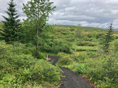
Hlíðahringur in Heiðmörk
Walk:
10.06km
Difficulty
Level 2
Hlíðahringur runs from Maríuhellar to Vífilsstaðavatn Lake, passing Grunnuvötn ponds,…
Garðabær
Image
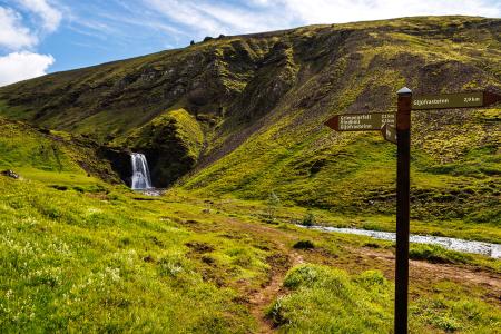
Grímannsfell
Walk:
5.54km
Difficulty
Level 2
Embark on a hike to Mosfellsbær's highest peak and be rewarded with breathtaking views from…
Mosfellsbær
Image
The Garðabær Circle
Walk:
7.08km
Difficulty
Level 2
This route starts at Vídalínskirkja, passing through historical sites such as Hofsstaðir and…
Garðabær
Image
Vífilfell
Walk:
6.70km
Difficulty
Level 3
The hike to Vífilfell, an iconic mountain near the capital area, is a geologically fascinating…
Kópavogur
Image
The Sun Circle in Heiðmörk
Walk:
5.69km
Difficulty
Level 2
The Sun Circle is a hiking route near Vífilsstaðavatn, located in the scenic Heiðmörk area.
Garðabær
Pagination
First page
« First
Previous page
‹‹
Page
1
Page
2
Page
3