Grímannsfell
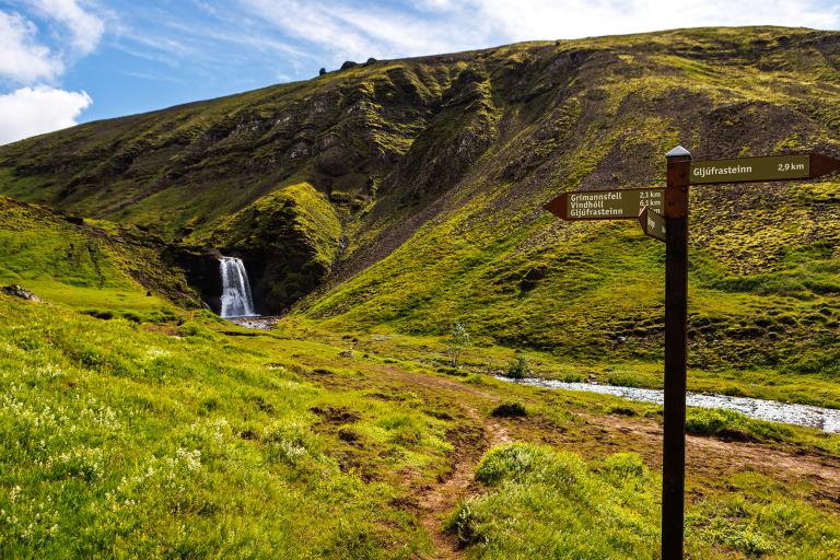
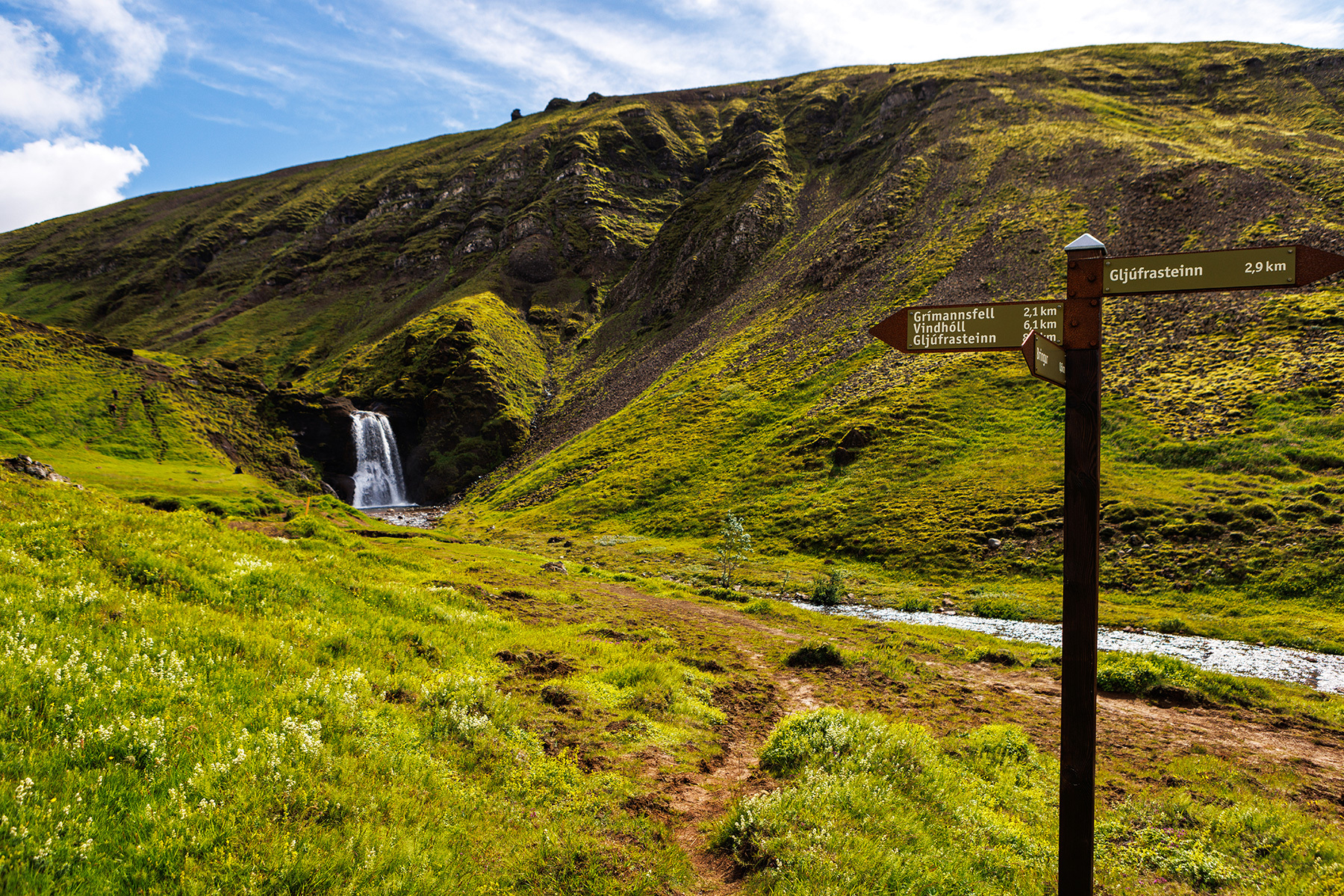
Grímannsfell is one of the highest hills in the Mosfellsbær area, standing at 482 meters above sea level. The hike to the top is relatively easy, although it can be somewhat challenging in the steepest sections. The starting point is at the parking area near Helgufoss, which is accessible via a marked turnoff from Þingvallavegur. Well-maintained trails lead from the parking area to the waterfall, making it an ideal spot to pause and enjoy the natural beauty. Following the marked trail, hikers continue alongside the Köldukvísl river, crossing a bridge over the river. Along the way, there are several small streams to step across before reaching the steeper section. The path is clearly visible and marked all the way to the summit of the hill. The highest point, known as Stórhóll, offers stunning panoramic views of Hellisheiði, Mosfellsheiði, the slopes of Esja, and the capital area. The return follows the same route, and it is recommended to take another break at Helgufoss before heading back to the parking area.
Parking lot by Helgufoss
Detailed Information
Duration
Distance
Difficulty
Cumulative Elevation Gain
Maximum Altitude
Available
Access
Path Visibility
Path Lighting
Path Surface
Path Width
Path Dangers
Path Obstacles
Services
Gpx Start Point
Gpx Starting Point Elevation
Cumulative Elevation Loss
Maximum Altitude Coordination
Minimum Altitude
Minimum Altitude Coordinations
Route Distance
