Vesturbæjarlaug Swimming Pool is one of Reykjavík's most popular neighbourhood pools and has long been a social gathe
Sundhöll Reykjavíkur on Barónsstígur is one of Reykjavík's oldest swimming pools and one of the city's most iconic la
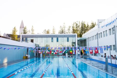
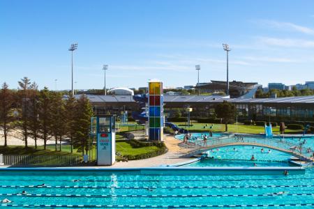
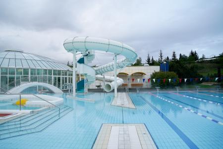
Laugardalslaug Swimming Pool is Iceland's largest swimming pool and one of Reykjavík's most iconic geothermal bathing
Klébergslaug Swimming Pool is a small and peaceful neighbourhood pool located in the Grundarhverfi district on Kjalar
Grafarvogslaug Swimming Pool is a very popular neighbourhood pool, attracting families, fitness enthusiasts, and swim
Dalslaug Swimming Pool is Reykjavík's newest swimming pool.
Breiðholtslaug Swimming Pool was originally built as a school swimming pool but has since evolved into a welcoming, f
Árbæjarlaug Swimming Pool is one of Reykjavík's most popular family pools, renowned for its bright, spacious design a