Vífilfell
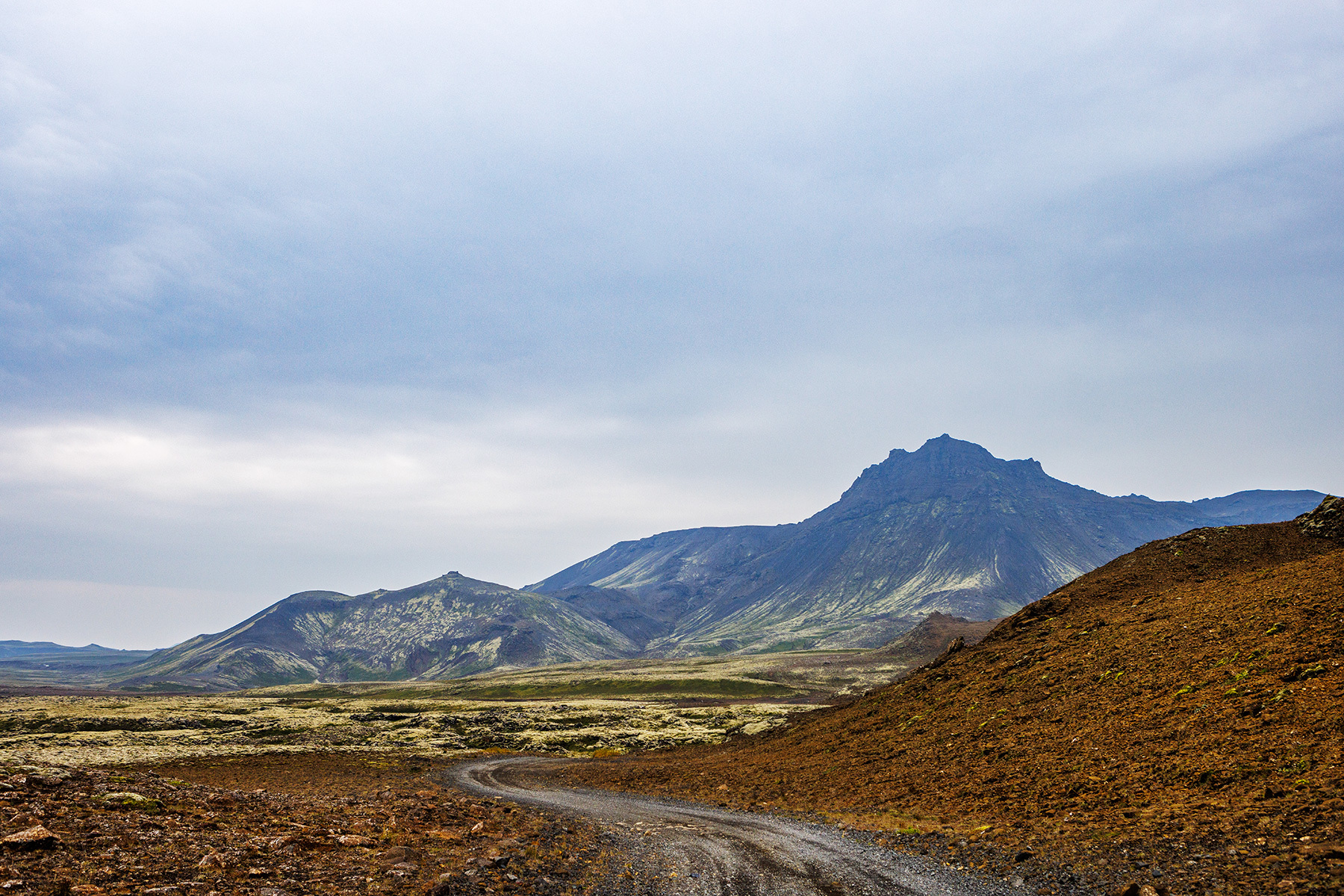
Vífilfell is one of the iconic mountains of the capital area, formed during two subglacial eruptions in the Ice Age, making it an interesting destination from a geological perspective. The hike is manageable for most people in decent shape, but caution is advised in steep scree slopes and on tuff rock surfaces, which can be challenging, especially in winter or adverse weather conditions. The trail begins from a parking area near quarries accessible via a turnoff from Suðurlandsvegur, just above Sandskeið. After following the quarry road, a sign marks the start of the ascent. The route first climbs a well-marked path up a steep scree slope leading to a broad plateau. From there, the highest ridge of the mountain, composed of exposed tuff rock, is reached with trail markers guiding the way. The initial ridge walk is relatively easy, but reaching the summit requires some scrambling, aided by fixed ropes at two points to assist hikers. Once at the top, the terrain becomes flatter and more manageable. At the summit, a viewing dial, installed by the Icelandic Touring Association, offers an exceptional panoramic view of the capital region and beyond. On clear days, one can see landmarks such as Grótta, Esja, Móskarðshnúkar, Skjaldbreiður, and Hengill. Vífilfell can be climbed year-round; however, in extreme weather, it is best to avoid the ascent due to strong winds at the top. During winter, the steep slopes require an ice axe and crampons, and hikers should be familiar with ice axe arrest techniques for safety, as standard microspikes (so-called Esjubroddar) may not provide adequate grip. Notably, Vífilfell was selected as Kópavogur's town mountain in a public vote in 2013.
Parking lot by Vífilfell
Detailed Information
Duration
Distance
Difficulty
Cumulative Elevation Gain
Maximum Altitude
Available
Access
Path Visibility
Path Lighting
Path Surface
Path Width
Path Dangers
Path Obstacles
Services
Gpx Start Point
Gpx Starting Point Elevation
Cumulative Elevation Loss
Maximum Altitude Coordination
Minimum Altitude
Minimum Altitude Coordinations
Route Distance