Skip to main content
Út um allt ... höfuðborgarsvæðið
en
is
Filters
(
0
)
Enter a search string
Clear filters
Clear filters
(-)
Running
Walk
Bike
Municipality
(-)
Reykjavík
Garðabær
Mosfellsbær
Kópavogur
Hafnarfjörður
Seltjarnarnes
Path Surface
Other
Gravel
Asphalt
Wood chip
Timber
Facet Path Surface
Duration
1 - 2 hours
(-)
30 - 60 minutes
2 - 3 hours
Facet Duration
Difficulty
Level 1
Level 2
Facet Difficulty
Area Access
Facet Area Access
Area services
Facet Area services
Area Type
Facet Area Type
Aðstaða
Facet Aðstaða
Home
Hiking Routes
Map of Hiking Routes
Bike Routes
Map of Bike Routes
Running Routes
Map of Running Routes
Outdoor Areas
Map of Outdoor Areas
Swimming Pools
Map of Swimming Pools
About the Website
How do I use the Website?
Visit Reykjavík
Image
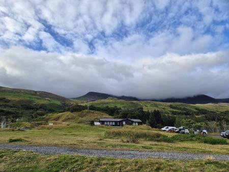
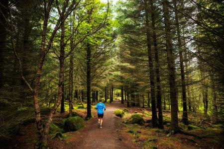
Forest loop in Esja
Running:
5.03km
Difficulty
Level 2
An enjoyable, sheltered trail run through the forestry area in the Esja slopes by Mógilsá,…
Reykjavík
Image
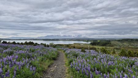
The little Ríkishringur in Heiðmörk
Running:
5.99km
Difficulty
Level 1
A short, easy trail run in Heiðmörk, a shorter version of the well-known Ríkishringur. An…
Reykjavík
Image
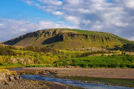
Úlfarsfell from Úlfarsfellsvegur
Running:
4.34km
Difficulty
Level 2
A popular running route up Úlfarsfell from Úlfarsfellsvegur, on the boundary of Reykjavík and…
Mosfellsbær
Reykjavík
Image
Öskjuhlíð
Running:
5.99km
Difficulty
Level 2
Öskjuhlíð is a unique recreational area close to central Reykjavík with varied nature and…
Reykjavík
Image
Airport loop from Sundhöllin
Running:
8.45km
Difficulty
Level 1
An easy, accessible urban run on paved paths from Sundhöll Reykjavíkur around Reykjavík…
Reykjavík
Image
Airport loop from Vesturbæjarlaug
Running:
8.19km
Difficulty
Level 1
An easy, accessible run on paved paths from Vesturbæjarlaug around Reykjavík Airport in…
Reykjavík