The Álftanes Circle
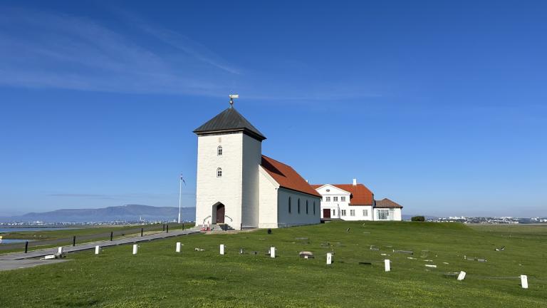
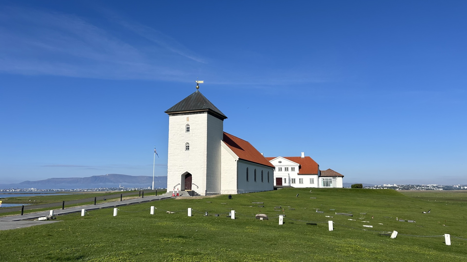
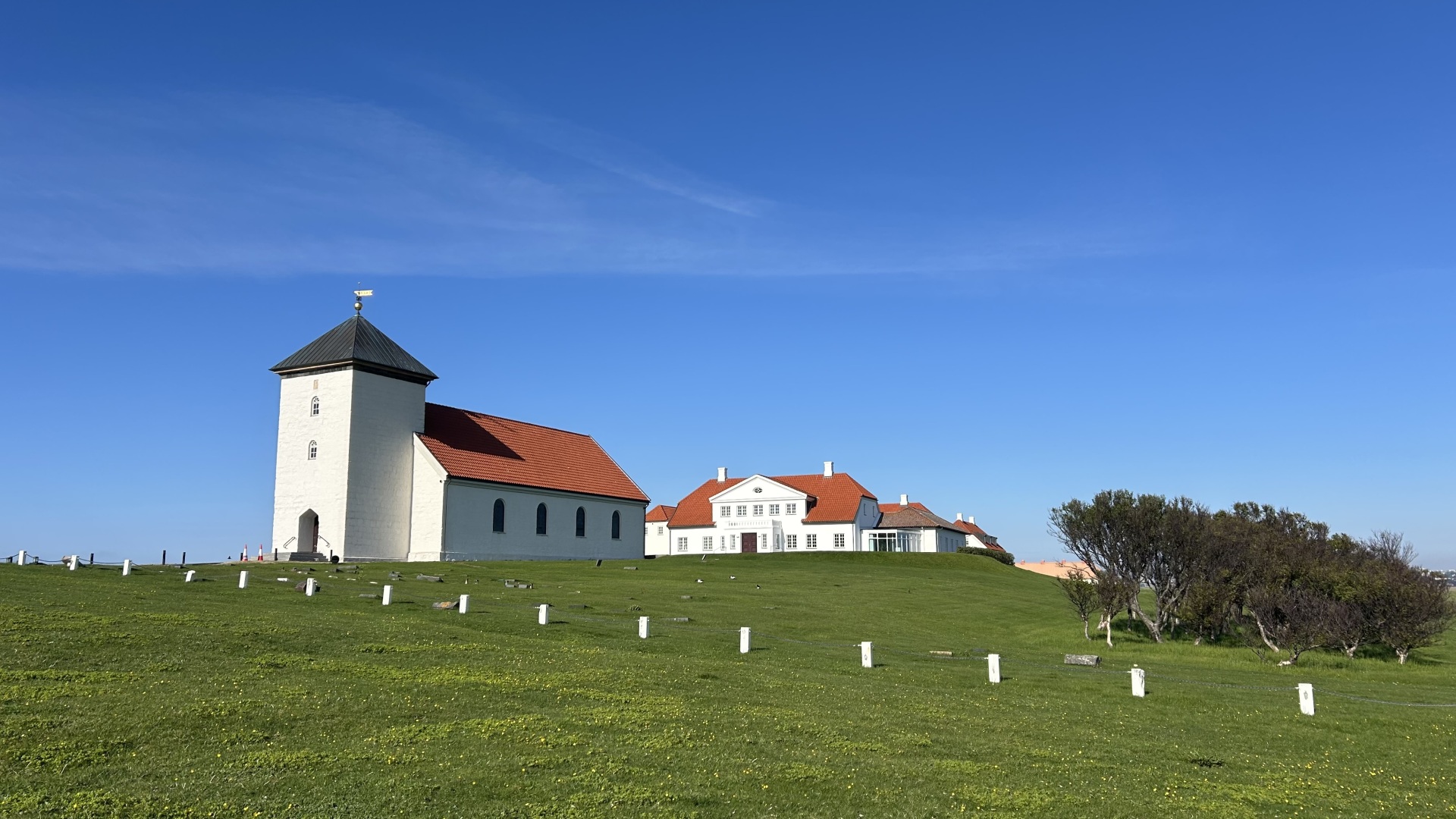
This 12.5 km cycling route around Álftanes begins at the parking lot by Gálgahraun, a protected nature reserve where rugged lava fields, green moss, and the seaside create a striking landscape. A good, wide bike path runs along Hraunholtsbraut, through an underpass, and continues alongside Garðahraunsvegur. Along this route, there are excellent views of the coastline and across to Bessastaðir, the official residence of the President of Iceland. A fun detour to Bessastaðir can be added before continuing along Álftanesvegur, where the route heads toward Suðurnesvegur to complete the loop. On the return leg, the route runs along the new Álftanesvegur, with Gálgahraun once again coming into view, before reaching the starting point. The cycling route is relatively easy, family-friendly, and ideal for those who want to enjoy outdoor activity in the beautiful surroundings of Álftanes.
Parking lot by Gálgahraun

