Skip to main content
Út um allt ... höfuðborgarsvæðið
en
is
Home
Bike and Hiking Routes
Map of Bike and Hiking Routes
Outdoor Areas
Map of Outdoor Areas
Sundlaugar
Map of Swimming Pools
About the Website
How do I use the Website?
Visit Reykjavík
Always
Open all seasons
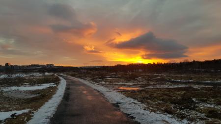
Image
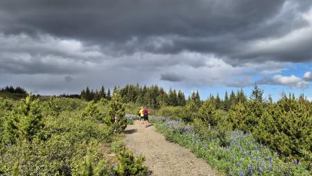
Running
Elliðaárdalur loop from Elliðaárstöð
A varied run through Elliðaárdalur, one of the largest and most popular green areas in…
Reykjavík
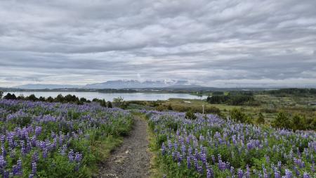
Image
Running
The little Ríkishringur in Heiðmörk
A short, easy trail run in Heiðmörk, a shorter version of the well-known Ríkishringur. An…
Reykjavík
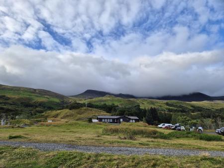
Image
Running
Forest loop in Esja
An enjoyable, sheltered trail run through the forestry area in the Esja slopes by Mógilsá,…
Reykjavík
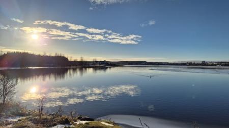
Image
Running
Elliðavatn Circle from Árbæjarlaug
A varied run around Elliðavatn, from Árbæjarlaug via Norðlingaholt, Rauðhólar and Vatnsendi…
Reykjavík
Kópavogur
Image
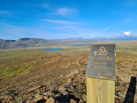
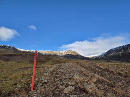
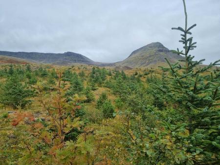
Running
Grímannsfell from Gljúfrasteinn
A challenging mountain run on Grímannsfell, the highest mountain in the Mosfellsbær area (484…
Mosfellsbær
Image
Running
Coastal loop from Laugardalslaug
A long, varied run on paved paths along Reykjavík's coastline, from Laugardalslaug via Sæbraut…
Reykjavík
Image
Running
Hvaleyrarvatn and Stórhöfði
A sheltered, varied trail run by Hvaleyrarvatn in Hafnarfjörður, through the Höfðaskógur…
Hafnarfjörður
Image
Running
Valahnúkar and Búrfellsgjá
A varied trail run through historic lava landscape above Hafnarfjörður and Garðabær. An…
Hafnarfjörður
Garðabær
Image
Running
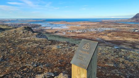
Around Helgafell via Valaból
A trail run that loops around Helgafell in Hafnarfjörður, via Valaból and along the Valahnúkar…
Hafnarfjörður
Image
Running
Helgafell Circle from Varmárlaug
An enjoyable mountain run on Helgafell in Mosfellsbær (216 m), starting at the Varmá sports…
Mosfellsbær
Image
Running
Esja circle with Bibba
A challenging mountain run on Esja, Reykjavík's local mountain, through the eastern part of…
Reykjavík
Image
Running
Vesturbær Circle from Neslaug
An enjoyable urban run on paved paths from Neslaug on Seltjarnarnes, along the shore and onto…
Seltjarnarnes
Reykjavík
Image
Running
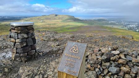
Lali and Reykjaborg
A short but steep mountain run over two of Mosfellsbær's marked summits, Reykjaborg (286 m)…
Mosfellsbær
Image
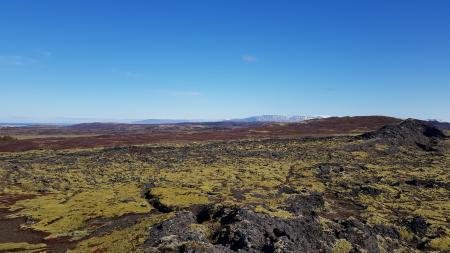
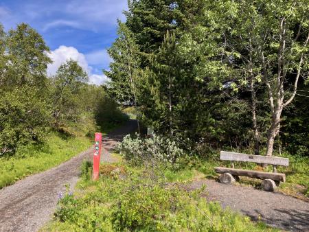
Norðmannahringur í Heiðmörk
Walk:
2.06km
Difficulty
Level 1
The Norðmannahringur (Norwegian Trail) is a nearly 2 km circular walking route through a…
Reykjavík
Image
Running
Hobbitastígur and Vífilsstaðahlíð
An enjoyable trail run in Garðabær starting at the end of Vífilsstaðahlíð, traversing the…
Garðabær
Image
Running
Reynisvatn circle
A varied trail run by Reynisvatn east of Grafarholt. An approximately 9.5 km loop that uses…
Reykjavík
Image
Running
The Ríkishringur circle in Heiðmörk
One of the most popular trail runs in the Reykjavík greater area, an approximately 12 km loop…
Reykjavík
Image
Running
Úlfarsfell from the forestry area
A popular trail run up Úlfarsfell, starting at the Hamrahlíð forestry area on the mountain's…
Mosfellsbær
Image
Esjuhlíðar
Walk:
1.86km
Difficulty
Level 2
A nearly 2-kilometre walking trail through the diverse landscapes of the slopes of Mount Esja…
Reykjavík
Image
Úlfarsfell from Skarhólabraut
Walk:
3.55km
Difficulty
Level 1
A well-marked and family-friendly hiking trail from Skarhólabraut up to the top of Úlfarsfell…
Mosfellsbær
Reykjavík
Image
Urriðavatn
Walk:
3.21km
Difficulty
Level 1
A short and easy walking route around Urriðavatn in Garðabær. The surroundings of the lake are…
Garðabær
Image
Elf Circle in Hafnarfjörður
Bike:
6.14km
Difficulty
Level 1
A beautiful cycling route that starts at Hellisgerði and runs through Víðistaðatún, along the…
Hafnarfjörður
Image
Eldborg, Stóra Kóngsfell and Drottning
Walk:
5.31km
Difficulty
Level 2
A beautiful hiking route that begins at Eldborg in Bláfjöll. The path leads through moss…
Kópavogur
Image
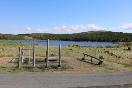
Around Bessastaðatjörn
Walk:
6.50km
Difficulty
Level 1
A walking route around Bessastaðatjörn in a historically rich setting. Along the way, you can…
Garðabær
Pagination
Page
1
Page
2
Page
3
Page
4
Page
5
Next page
››
Last page
Last »