The Linda-Sala Bike Route
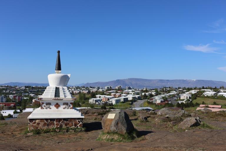
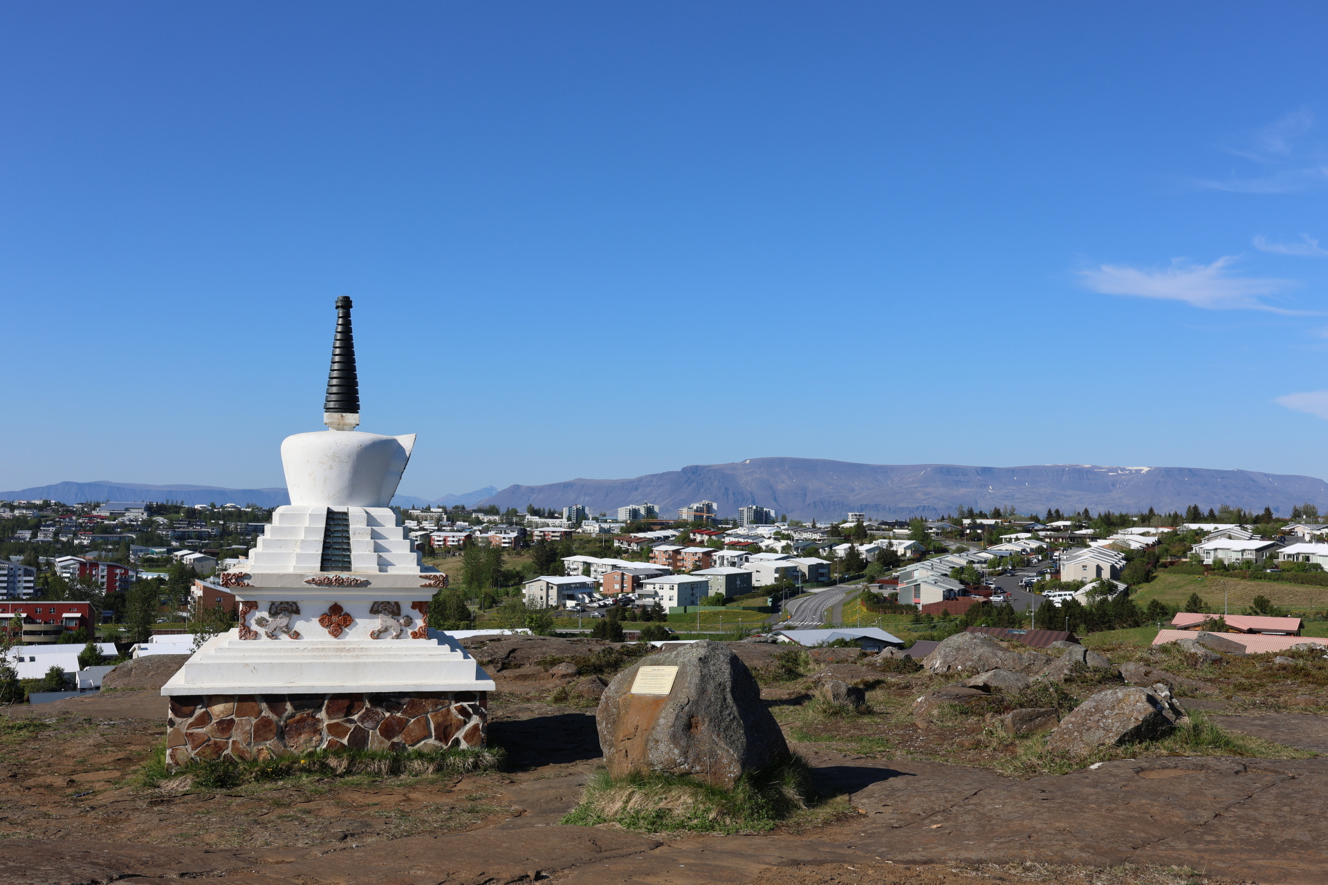
This 9 km cycling route runs through the Linda and Sala neighborhoods in Kópavogur and is within the historical boundaries of the Fífuhvammur estate, which was inhabited until the mid-20th century. The route begins at Salalaug Swimming Pool and heads toward the cemetery of Kópavogur. From there, a short detour leads to Hádegishólar, where you can visit a Tibetan stupa from 1992 (a Buddhist shrine) and a whale-back rock formation marked by glacial striations from the last Ice Age.
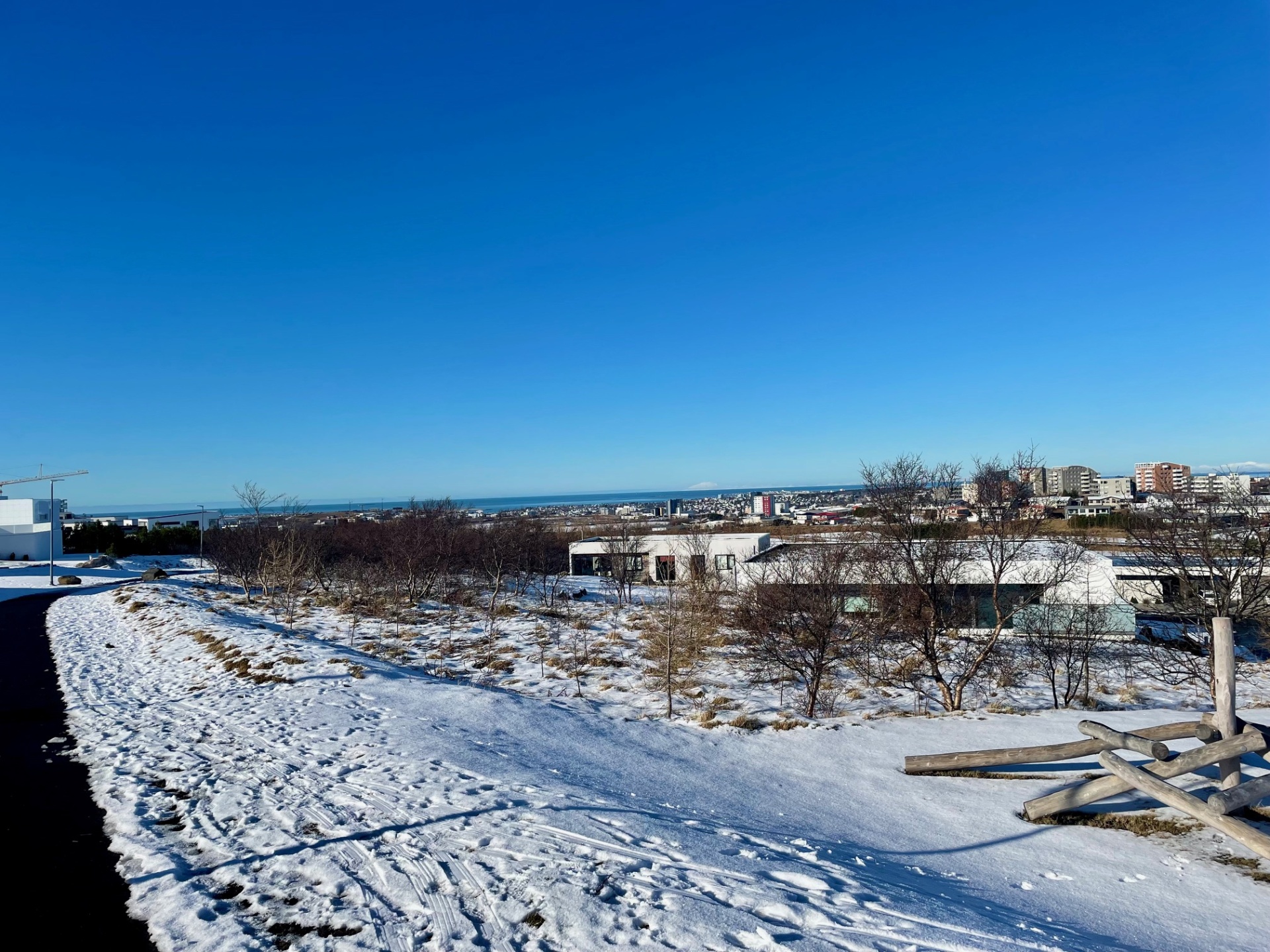
The route continues to Lindaskóli, where there is a forest and outdoor learning area cultivated by local students. In the green area above the school, you’ll find an educational sign about the Fífuhvammur estate and the old farm Hvammur. The ride continues up a steep path to the Kórahverfi neighborhood, where playgrounds, water posts, and benches await cyclists. The view over Kópavogur and the sunset from here is especially beautiful. The route then proceeds past Markasteinn, an ancient boundary marker from the time of the Viðey Monastery, and continues alongside the golf course of the Kópavogur and Garðabær Golf Club before ending back at Salalaug.
Salalaug Swimming Pool

