Selfjall and Sandfell
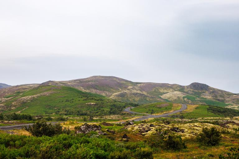
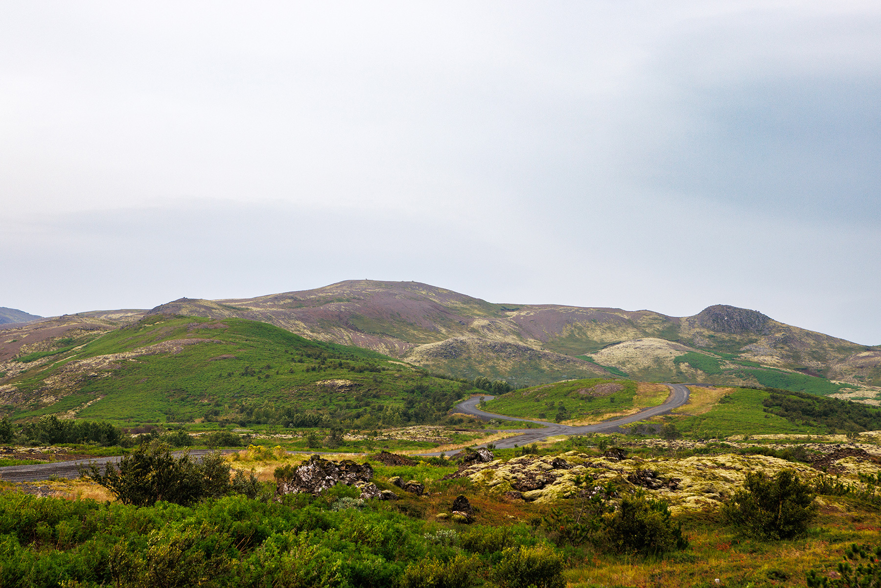
Selfjall and Sandfell are enjoyable and accessible mountains located just off Suðurlandsvegur, on the outskirts of the capital area. They are relatively low and gently sloping, making them an easy hike for people of all ages. The route starts along a ridge above the Waldorf School in Lækjarbotnar, leading up to Selfjall, then down to the edge of the Húsfellsbruni lava field, and up to Sandfell. To add elevation, the hike continues along Selfjall on the way back. This hike is particularly scenic in spring and late summer, offering beautiful views of the sun setting over Faxaflói Bay. There is parking available close to the school, and hikers are kindly asked not to enter the school grounds. Selfjall and Sandfell can be hiked year-round, but in winter, crampons (so-called Esjubroddar) are recommended, and it’s best to avoid the steepest ascent to Sandfell, opting instead for gentler switchback trails. In spring, the trail can be muddy as the frost thaws from the ground.
Parking lot by the Waldorf School
Detailed Information
Duration
Distance
Difficulty
Cumulative Elevation Gain
Maximum Altitude
Available
Access
Path Visibility
Path Lighting
Path Surface
Path Width
Path Dangers
Path Obstacles
Services
Gpx Start Point
Gpx Starting Point Elevation
Cumulative Elevation Loss
Maximum Altitude Coordination
Minimum Altitude
Minimum Altitude Coordinations
Route Distance
