Skip to main content
Út um allt ... höfuðborgarsvæðið
en
is
Enter a search string
Outdoor Area
Municipality
Reykjavík
Garðabær
Mosfellsbær
Hafnarfjörður
(-)
Seltjarnarnes
Kópavogur
Path Surface
Facet Path Surface
Duration
Facet Duration
Difficulty
Facet Difficulty
Area Access
Child-friendly area
Dogs allowed
Accessible for Disabled
Facet Area Access
Area services
Walking Paths
(-)
Parking
Benches / Resting Area
Waste Bins
Cycling Path
Playground
Lighting
Culture / History
Toilets
Drinking Water
Football Field
Swimming Pool
Frisbee Golf
Exercise Equipment
Tables and Benches
Artwork
Restaurant / Café
Facet Area services
Area Type
Green Area
Sea and Shore
History and/or Culture
Facet Area Type
Home
Bike and Hiking Routes
Map of Bike and Hiking Routes
Outdoor Areas
Map of Outdoor Areas
About the Website
How do I use the Website?
Visit Reykjavík
Image
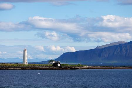
Grótta
Outdoor Area
Grótta is a scenic, land-connected island off the western coast of Seltjarnarnes, known for…
Municipality
Seltjarnarnes
Image
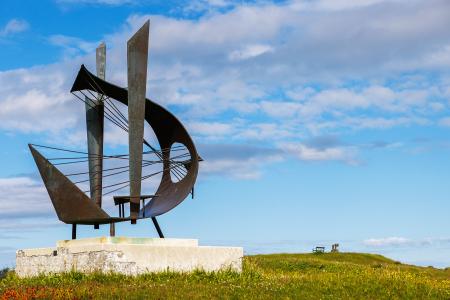
Valhúsahæð
Outdoor Area
Valhúsahæð, the highest point in Seltjarnarnes at 31 meters above sea level, is a popular…
Municipality
Seltjarnarnes
Image
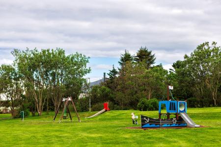
Bakkagarður
Outdoor Area
Bakkagarður boasts a playground with diverse play equipment, such as swings and slides. The…
Municipality
Seltjarnarnes
Image
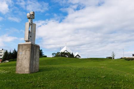
Plútóbrekka
Outdoor Area
Plútóbrekkan, located below Seltjarnarneskirkja, is a popular spot for winter sledding and…
Municipality
Seltjarnarnes
Image
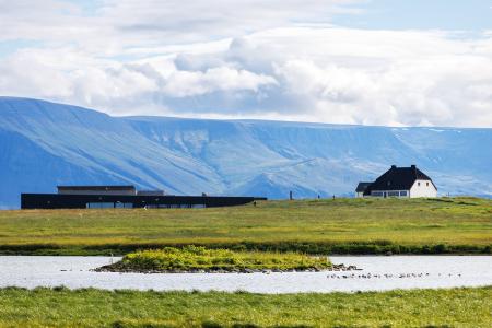
Vestursvæðin
Outdoor Area
Vestursvæðin is an outdoor area featuring diverse birdlife, scenic walking and cycling paths,…
Municipality
Seltjarnarnes