Skip to main content
Út um allt ... höfuðborgarsvæðið
en
is
Home
Bike and Hiking Routes
Map of Bike and Hiking Routes
Outdoor Areas
Map of Outdoor Areas
About the Website
How do I use the Website?
Visit Reykjavík
Seltjarnarnes
Image
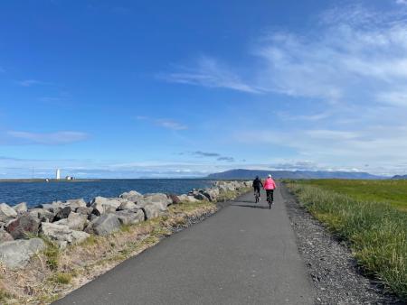
Around Reykjavik and Seltjarnarnes
Bike:
25.99km
Difficulty
Level 3
A popular and scenic cycling route around Reykjavík and Seltjarnarnes.
Reykjavík
Seltjarnarnes
Image
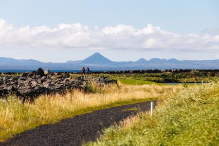
Seltjarnarnes and golf course
Bike:
7.57km
Difficulty
Level 1
A cycling route that loops around Seltjarnarnes and the golf course, offering scenic coastal…
Seltjarnarnes
Image
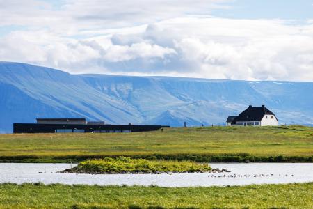
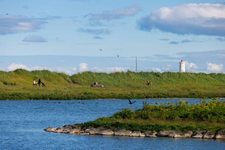
Vestursvæðin
Outdoor Area
Vestursvæðin is an outdoor area featuring diverse birdlife, scenic walking and cycling paths,…
Municipality
Seltjarnarnes
Image
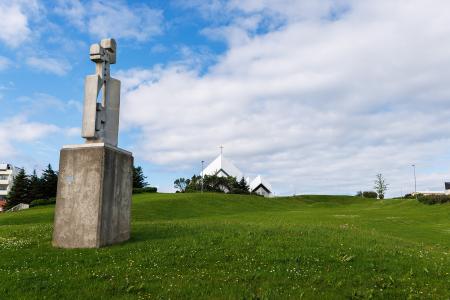
Plútóbrekka
Outdoor Area
Plútóbrekkan, located below Seltjarnarneskirkja, is a popular spot for winter sledding and…
Municipality
Seltjarnarnes
Image
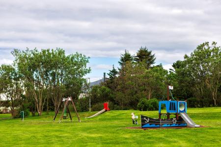
Bakkagarður
Outdoor Area
Bakkagarður boasts a playground with diverse play equipment, such as swings and slides. The…
Municipality
Seltjarnarnes
Image
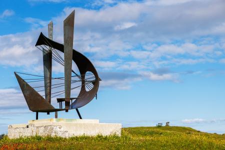
Valhúsahæð
Outdoor Area
Valhúsahæð, the highest point in Seltjarnarnes at 31 meters above sea level, is a popular…
Municipality
Seltjarnarnes
Image
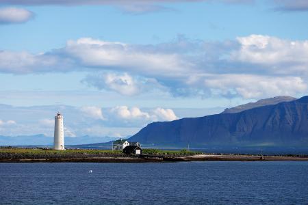
Grótta
Outdoor Area
Grótta is a scenic, land-connected island off the western coast of Seltjarnarnes, known for…
Municipality
Seltjarnarnes
Image
The Peninsula Circle
Walk:
5.81km
Difficulty
For Everybody
This route leads around Seltjarnarnes, offering breathtaking coastal views, diverse landmarks,…
Seltjarnarnes
Image
The Seltjarnarnes Circle
Walk:
3.55km
Difficulty
For Everybody
A short and scenic walking route from the Seltjarnarnes swimming pool, following the northern…
Seltjarnarnes
Image
Seltjarnarnes and golf course
Walk:
7.57km
Difficulty
Level 2
A stunning walking trail that goes around Seltjarnarnes and the golf course near Grótta.
Seltjarnarnes