Æsustaðafell and Reykjafell
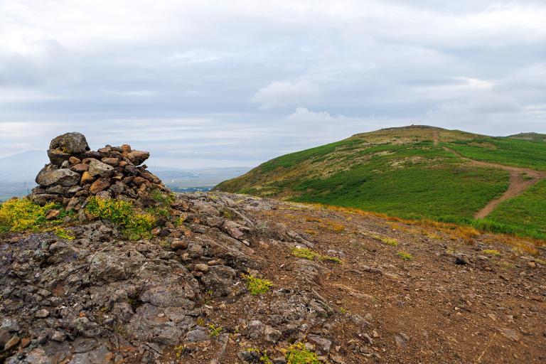
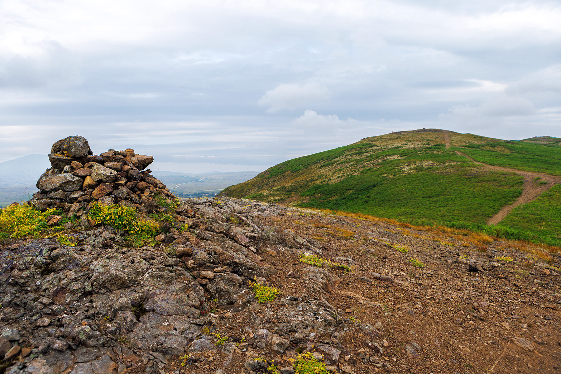
The hike to Æsustaðafjall and Reykjafell is a pleasant and family-friendly route. The journey begins by driving through Mosfellsdalur, turning right at the sign for Hlaðgerðarkot, and then taking another right toward the Skammadal cabin area. After a short drive, you'll reach a small, unmarked parking area where the hike starts. The route begins by heading toward Æsustaðafjall, a 220-meter-high hill that is part of the many fells surrounding Mosfellsdalur, including Helgafell, Reykjafell, Grímannsfell, and Mosfell, with Lágafell and Úlfarsfell visible in the distance. A clearly visible jeep track leads up the hill, providing an easy ascent to the summit. Hikers can choose to return from here or continue the hike toward Reykjafell, following a marked trail that extends beyond Æsustaðafjall. Upon reaching the top of Reykjafell, the marked trail continues down into Skammadal, running alongside the cabin area until reaching the parking lot, completing the loop.
Skammaskarð
Detailed Information
Duration
Distance
Difficulty
Cumulative Elevation Gain
Maximum Altitude
Available
Access
Path Visibility
Path Lighting
Path Surface
Path Width
Path Dangers
Path Obstacles
Services
Gpx Start Point
Gpx Starting Point Elevation
Cumulative Elevation Loss
Maximum Altitude Coordination
Minimum Altitude
Minimum Altitude Coordinations
Route Distance
