Skip to main content
Út um allt ... höfuðborgarsvæðið
en
is
Home
Hiking Routes
Map of Hiking Routes
Bike Routes
Map of Bike Routes
Running Routes
Map of Running Routes
Outdoor Areas
Map of Outdoor Areas
Swimming Pools
Map of Swimming Pools
About the Website
How do I use the Website?
Visit Reykjavík
Less than 1m
<1m - Less than one meter
Image
Vatnsendahlíð from Guðmundarlundur
Running:
5.64km
Difficulty
Level 2
A varied trail run through the uninhabited Vatnsendahlíð, from the Guðmundarlundur woodland in…
Kópavogur
Image
Hobbitastígur og Vífilshlíð – stutt útgáfa
Running:
5.22km
Difficulty
Level 1
A short, easy beginner's version of the Hobbitastígur loop. An approximately 5.5 km loop by…
Garðabær
Image
The little Ríkishringur in Heiðmörk
Running:
5.99km
Difficulty
Level 1
A short, easy trail run in Heiðmörk, a shorter version of the well-known Ríkishringur. An…
Reykjavík
Image
Forest loop in Esja
Running:
5.03km
Difficulty
Level 2
An enjoyable, sheltered trail run through the forestry area in the Esja slopes by Mógilsá,…
Reykjavík
Image
Elliðavatn Circle from Árbæjarlaug
Running:
12.65km
Difficulty
Level 2
A varied run around Elliðavatn, from Árbæjarlaug via Norðlingaholt, Rauðhólar and Vatnsendi…
Reykjavík
Kópavogur
Image
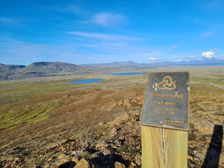
Grímannsfell from Gljúfrasteinn
Running:
10.54km
Difficulty
Level 3
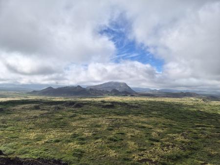
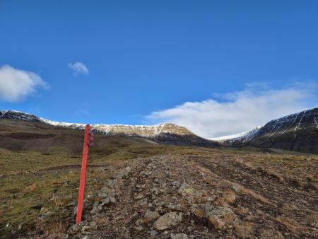
A challenging mountain run on Grímannsfell, the highest mountain in the Mosfellsbær area (484…
Mosfellsbær
Image
Valahnúkar and Búrfellsgjá
Running:
12.36km
Difficulty
Level 2
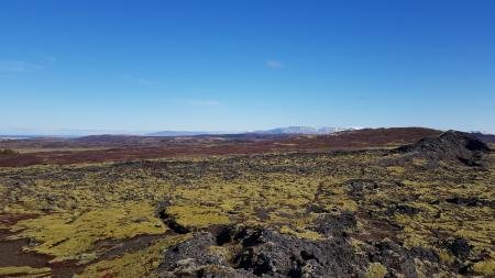
A varied trail run through historic lava landscape above Hafnarfjörður and Garðabær. An…
Hafnarfjörður
Garðabær
Image
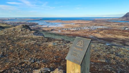
Around Helgafell via Valaból
Running:
9.50km
Difficulty
Level 2
A trail run that loops around Helgafell in Hafnarfjörður, via Valaból and along the Valahnúkar…
Hafnarfjörður
Image
Helgafell Circle from Varmárlaug
Running:
8.25km
Difficulty
Level 2
An enjoyable mountain run on Helgafell in Mosfellsbær (216 m), starting at the Varmá sports…
Mosfellsbær
Image
Esja circle with Bibba
Running:
10.13km
Difficulty
Level 3
A challenging mountain run on Esja, Reykjavík's local mountain, through the eastern part of…
Reykjavík
Image
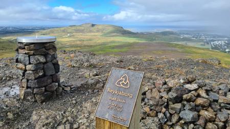
Lali and Reykjaborg
Running:
4.48km
Difficulty
Level 2
A short but steep mountain run over two of Mosfellsbær's marked summits, Reykjaborg (286 m)…
Mosfellsbær
Image
Úlfarsfell from the forestry area
Running:
5.70km
Difficulty
Level 2
A popular trail run up Úlfarsfell, starting at the Hamrahlíð forestry area on the mountain's…
Mosfellsbær
Image
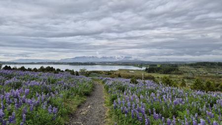
Eldborg, Stóra Kóngsfell and Drottning
Walk:
5.31km
Difficulty
Level 2
A beautiful hiking route that begins at Eldborg in Bláfjöll. The path leads through moss…
Kópavogur
Image
Hafravatn
Walk:
5.69km
Difficulty
Level 1
Hafravatn is a beautiful lake in Mosfellsbær. It’s enjoyable to walk around the lake and take…
Mosfellsbær
Image
Reykjaborg and Lali
Walk:
6.86km
Difficulty
Level 2
The two mountains Reykjaborg and Lali are neither steep nor high, making them ideal for a…
Mosfellsbær
Image
Around Helgafell in Hafnarfjörður
Walk:
8.34km
Difficulty
Level 2
The hike up Helgafell in Hafnarfjörður is very popular among locals, but walking the scenic…
Hafnarfjörður
Image
Gunnhildur and Vífilstaðarhlíð
Walk:
6.20km
Difficulty
Level 2
A hike in Heiðmörk which takes you up to the cairn Gunnhildur and follows Vífilsstaðahlíð on…
Garðabær
Image
Grímannsfell
Walk:
5.54km
Difficulty
Level 2
Embark on a hike to Mosfellsbær's highest peak and be rewarded with breathtaking views from…
Mosfellsbær
Image
Æsustaðafell and Reykjafell
Walk:
6.32km
Difficulty
Level 2
The hike to Æsustaðafjall and Reykjafell is a family-friendly loop in Mosfellsdalur, featuring…
Mosfellsbær
Image
Helgafell in Mosfellsbær
Walk:
1.89km
Difficulty
Level 1
The hike to Helgafell is a short and enjoyable trek, offering scenic views of Esja,…
Mosfellsbær
Image
Helgafell in Hafnarfjörður
Walk:
5.74km
Difficulty
Level 2
The ascent of Helgafellíð ranks among the most favored hikes in the capital region, offering a…
Hafnarfjörður
Image
Mosfell
Walk:
3.75km
Difficulty
Level 1
The path up Mosfell is a well-marked and family-friendly circular hiking route with scenic…
Mosfellsbær
Image
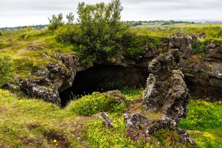
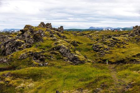
Fógetastígur in Gálgahraun
Walk:
4.17km
Difficulty
Level 1
A stunning walk around the Gálgahraun lava field, where geological formations, birdlife, and…
Garðabær
Image
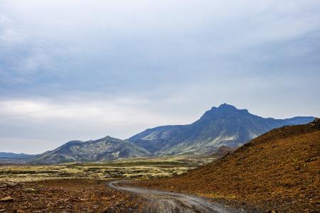
Vífilfell
Walk:
6.70km
Difficulty
Level 3
The hike to Vífilfell, an iconic mountain near the capital area, is a geologically fascinating…
Kópavogur