Blikastaðanes
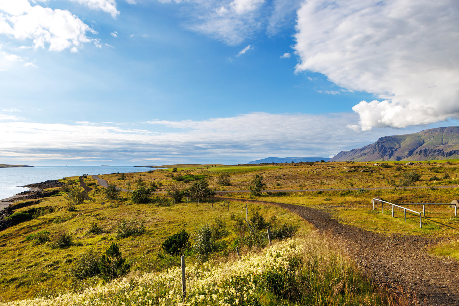
This 3 km trail around Blikastaðanes is suitable for everyone. The walk takes place on a paved path, starting at the parking lot near Hlíðavöllur, the golf course in Mosfellsbær. The trail begins by winding between golf fairways until it reaches the coastal path along Leiruvogur Bay. From there, the route turns left and continues along the shoreline. This section offers a great view of Esja and Akrafjall mountains. The path follows the edge of Blikastaðanes before turning left again to return to the start of the coastal route. The same path is then retraced through the golf course back to the parking lot. Blikastaðanes is part of a protected area extending from Blikastaðakrón to the inner Leirufjörður. It is an important habitat for birds and a stopover site for migratory birds, including brent geese, as well as numerous species of waders in the spring. During winter, dunlins are often present, and seals are frequently spotted in the area. The conservation value of the site also lies in its extensive mudflats and broad intertidal zones.
Parking lot at Hlíðarvöllur
Detailed Information
Duration
Distance
Difficulty
Cumulative Elevation Gain
Maximum Altitude
Available
Access
Path Visibility
Path Lighting
Path Surface
Path Width
Path Dangers
Path Obstacles
Services
Gpx Start Point
Gpx Starting Point Elevation
Cumulative Elevation Loss
Maximum Altitude Coordination
Minimum Altitude
Minimum Altitude Coordinations
Route Distance
Service Notes
Restrooms are available at the golf clubhouse.