
Búrfellsgjá
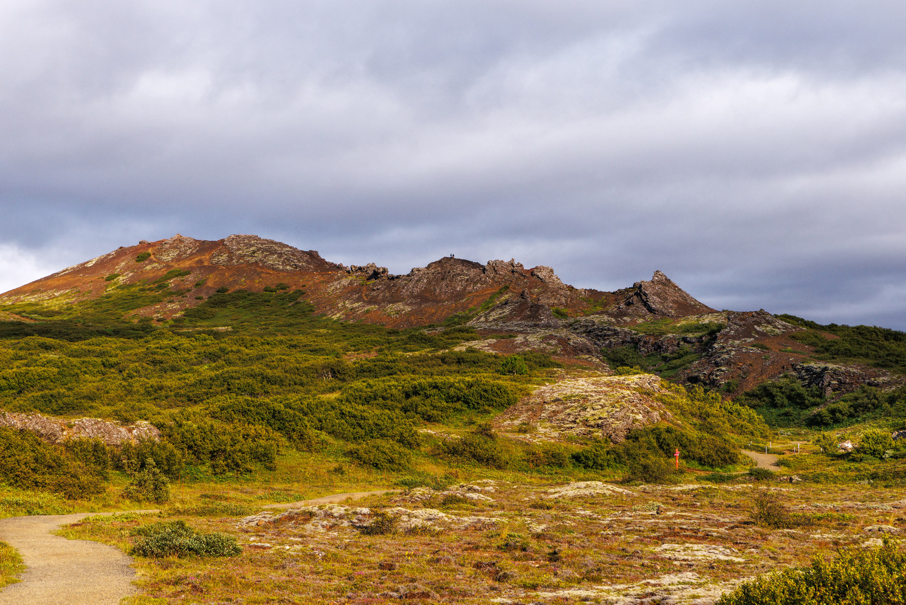
The hiking trail through Búrfellsgjá is incredibly beautiful and ideal for families. Búrfellsgjá is a 3.5 km long lava channel extending westward from Búrfell. It was formed during an eruption at Búrfell, which is believed to have occurred over 7,000 years ago. The hike starts at a parking lot on Heiðmerkurvegur, southeast of Vífilsstaðahlíð in Garðabær. There is a well-placed sign at the start, providing an overview of the route and key landmarks. The trail follows a gravel path through the channel, passing by small caves that are fun to explore. At the end of the trail is Búrfell, a beautiful scoria crater. The hillside of the crater consists of loose gravel, so care is needed when climbing up. Once at the top, you can walk a loop around the crater, enjoying panoramic views in all directions. The trail then leads back down along the same path, returning to the parking lot.
Parking lot by Búrfellsgjá
Detailed Information
Duration
Distance
Difficulty
Cumulative Elevation Gain
Maximum Altitude
Available
Access
Path Visibility
Path Lighting
Path Surface
Path Width
Path Dangers
Path Obstacles
Services
Gpx Start Point
Gpx Starting Point Elevation
Cumulative Elevation Loss
Maximum Altitude Coordination
Minimum Altitude
Minimum Altitude Coordinations
Route Distance
Parking lot by Búrfellsgjá