Skip to main content
Út um allt ... höfuðborgarsvæðið
en
is
Home
Hiking Routes
Map of Hiking Routes
Bike Routes
Map of Bike Routes
Running Routes
Map of Running Routes
Outdoor Areas
Map of Outdoor Areas
Swimming Pools
Map of Swimming Pools
About the Website
How do I use the Website?
Visit Reykjavík
Level 1
A simple route suitable for a wide range of users.
Image
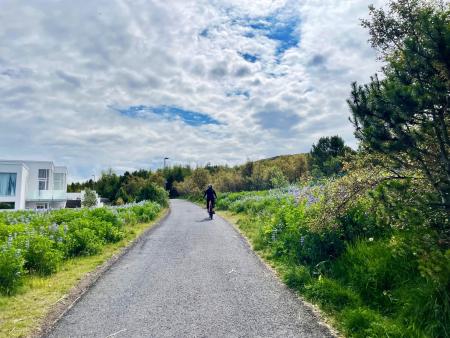
Hobbitastígur og Vífilshlíð – stutt útgáfa
Running:
5.22km
Difficulty
Level 1
A short, easy beginner's version of the Hobbitastígur loop. An approximately 5.5 km loop by…
Garðabær
Image
Kársnes loop from Kópavogslaug
Running:
5.74km
Difficulty
Level 1
An easy, accessible run on a paved coastal path around Kársnes, the westernmost part of…
Kópavogur
Image
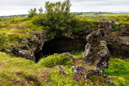
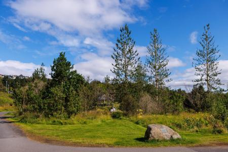
The little Ríkishringur in Heiðmörk
Running:
5.99km
Difficulty
Level 1
A short, easy trail run in Heiðmörk, a shorter version of the well-known Ríkishringur. An…
Reykjavík
Image
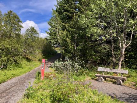
Norðmannahringur í Heiðmörk
Walk:
2.06km
Difficulty
Level 1
The Norðmannahringur (Norwegian Trail) is a nearly 2 km circular walking route through a…
Reykjavík
Image
Hobbitastígur and Vífilsstaðahlíð
Running:
8.15km
Difficulty
Level 1
An enjoyable trail run in Garðabær starting at the end of Vífilsstaðahlíð, traversing the…
Garðabær
Image
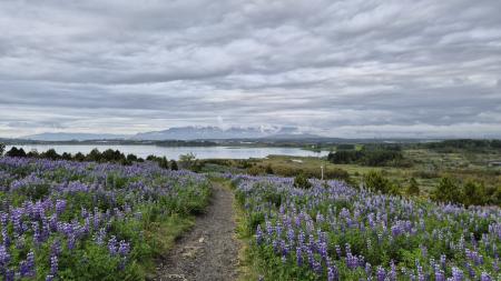
Úlfarsfell from Skarhólabraut
Walk:
3.55km
Difficulty
Level 1
A well-marked and family-friendly hiking trail from Skarhólabraut up to the top of Úlfarsfell…
Mosfellsbær
Reykjavík
Image
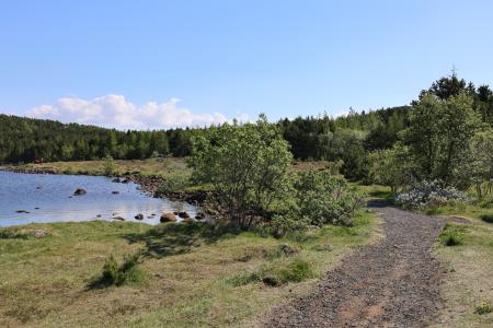
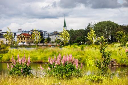
Urriðavatn
Walk:
3.21km
Difficulty
Level 1
A short and easy walking route around Urriðavatn in Garðabær. The surroundings of the lake are…
Garðabær
Image
Elf Circle in Hafnarfjörður
Bike:
6.14km
Difficulty
Level 1
A beautiful cycling route that starts at Hellisgerði and runs through Víðistaðatún, along the…
Hafnarfjörður
Image
Around Bessastaðatjörn
Walk:
6.50km
Difficulty
Level 1
A walking route around Bessastaðatjörn in a historically rich setting. Along the way, you can…
Garðabær
Image
Cycling in Grafarholt and Úlfarsárdalur
Bike:
8.56km
Difficulty
Level 1
A light and enjoyable cycling route from Dalslaug, passing through Grafarholt and…
Reykjavík
Image
Cycling in Mosfellsbær
Bike:
10.58km
Difficulty
Level 1
An enjoyable cycling route in Mosfellsbær that starts at the Varmár sports area and runs along…
Mosfellsbær
Image
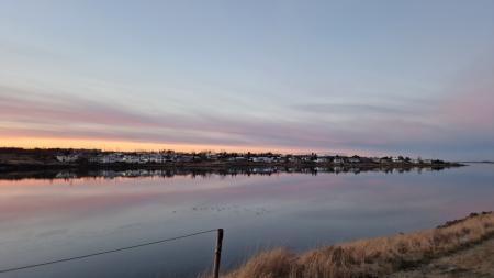
Hafravatn
Walk:
5.69km
Difficulty
Level 1
Hafravatn is a beautiful lake in Mosfellsbær. It’s enjoyable to walk around the lake and take…
Mosfellsbær
Image
Reynisvatn
Walk:
1.49km
Difficulty
Level 1
A light and beautiful walking trail in a peaceful environment by Reynisvatn, east of…
Reykjavík
Image
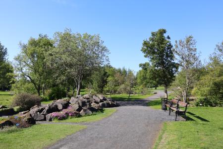
Laugardalur
Walk:
2.92km
Difficulty
Level 1
A light and accessible walking route that starts at Laugardalslaug Swimming Pool. The path…
Reykjavík
Image
Fossvogsdalur
Bike:
6.27km
Difficulty
Level 1
Biking through Fossvogsdalur offers a scenic ride along lush trails, with vibrant birdlife and…
Kópavogur
Reykjavík
Image
The Garðabær Circle
Bike:
7.08km
Difficulty
Level 1
A scenic cycling route through the town of Garðabær.
Garðabær
Image
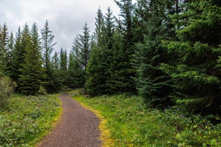
The Water Circle in Heiðmörk
Bike:
7.56km
Difficulty
Level 1
A scenic cycling route in Heiðmörk marked with blue posts, passing by lakes and educational…
Reykjavík
Image
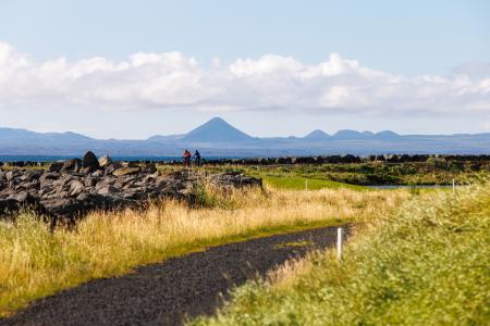
Seltjarnarnes and golf course
Bike:
7.57km
Difficulty
Level 1
A cycling route that loops around Seltjarnarnes and the golf course, offering scenic coastal…
Seltjarnarnes
Image
The Kópavogur Circle
Bike:
11.73km
Difficulty
Level 1
A scenic cycling route around Kópavogur, which includes cycling along Kársnes and Fossvogur.
Kópavogur
Image
The Reykjavík Circle
Bike:
18.53km
Difficulty
Level 1
A fun cycling loop around Reykjavík, passing by many of the city's main landmarks.
Reykjavík
Image
Úlfarsfell
Walk:
4.34km
Difficulty
Level 1
Úlfarsfell is a popular and easily accessible hiking destination on the border of Reykjavík…
Mosfellsbær
Reykjavík
Image
The Elliðaárdalur Circle
Walk:
2.48km
Difficulty
Level 1
A perfect family walk through the beautiful Hólmi area in Elliðaárdalur, offering scenic…
Reykjavík
Image
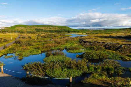
The Forest Circle in Heiðmörk
Walk:
3.50km
Difficulty
Level 1
The Forest Circle in Heiðmörk is a highly enjoyable and family-friendly hiking trail, spanning…
Reykjavík
Image
Ásfjall and Ástjörn
Walk:
4.25km
Difficulty
Level 1
Ásfjall is renowned as one of the most scenic mountains in the capital area due to the clear…
Hafnarfjörður
Pagination
Page
1
Page
2
Next page
››
Last page
Last »