Image

Municipality
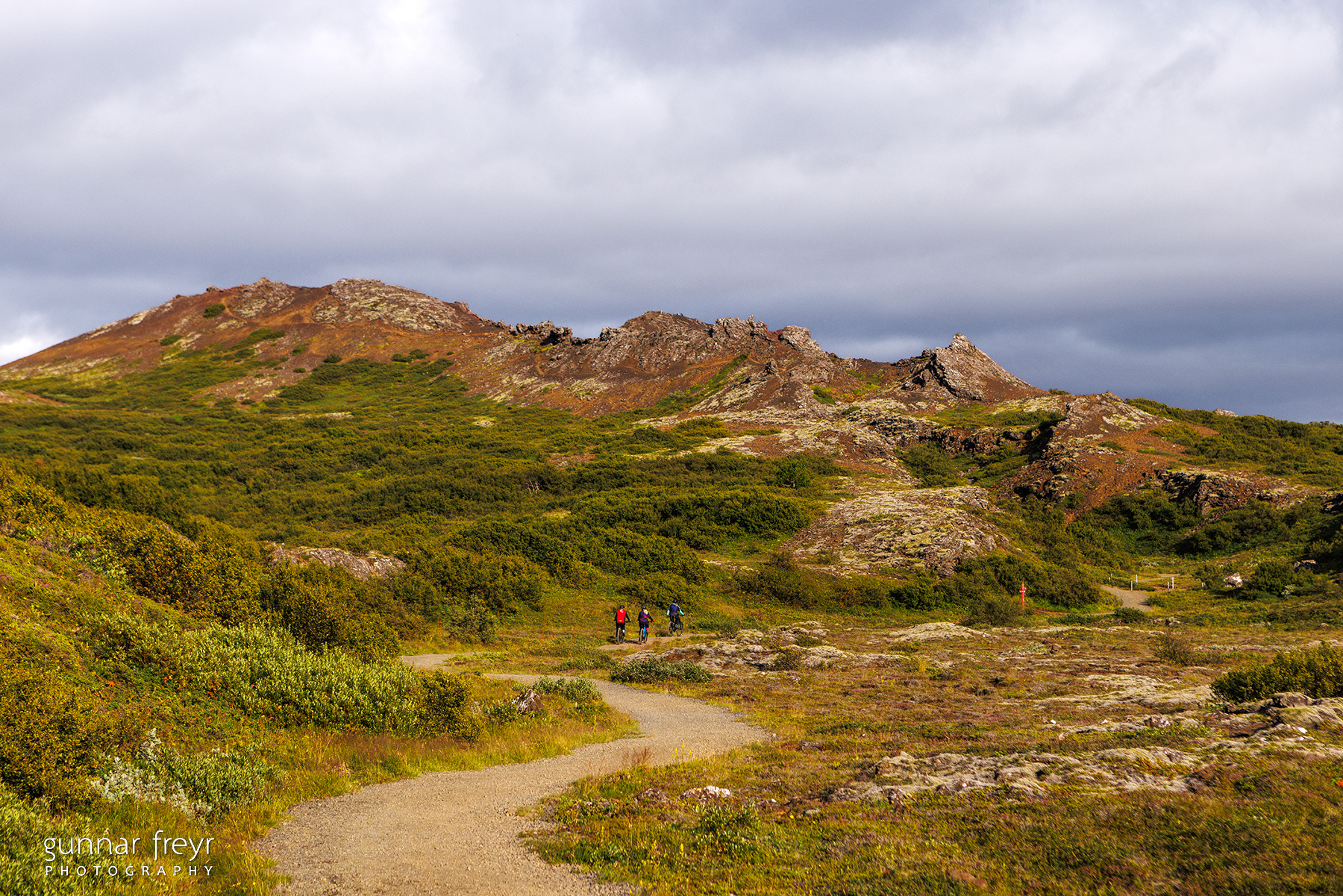
Búrfellsgjá
Búrfellsgjá is a 3.5 km long lava channel extending westward from Búrfell, formed during an eruption approximately 7,000 years ago. The bike ride is best started at a parking lot on Heiðmerkurvegur, southeast of Vífilsstaðahlíð in Garðabær. A well-placed sign there provides information about the route and main landmarks. The ride follows a trail through the channel, passing by small caves that are fun to explore. At the end of the channel is Búrfell itself, a beautiful scoria crater. From there, the panoramic views in all directions are breathtaking. The route then follows the same trail back down, returning to the parking lot.
Starting Point
Parking lot by Búrfellsgjá
Detailed Information
Duration
Distance
5.64km
Difficulty
Cumulative Elevation Gain
285,3m
Maximum Altitude
242,6m
Available
Access
Path Visibility
Path Lighting
Path Surface
Path Width
Path Dangers
Path Obstacles
Services
Gpx Start Point
64
.04,
-21.
85
Gpx Starting Point Elevation
168,0m
Cumulative Elevation Loss
282,7m
Maximum Altitude Coordination
64
.03,
-21.
83
Minimum Altitude
153,7m
Minimum Altitude Coordinations
64
.04,
-21.
84
Route Distance
5.641,7m
búrfellsgjá.gpx
Parking lot by Búrfellsgjá