Fossvogur to Gljúfrasteinn
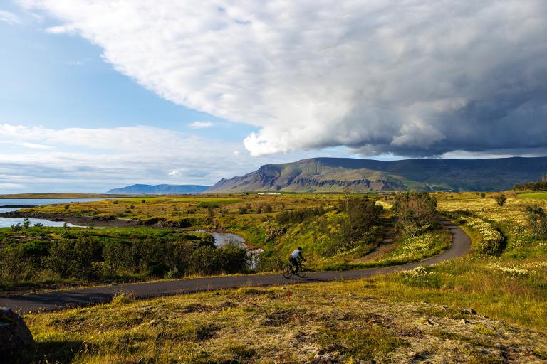
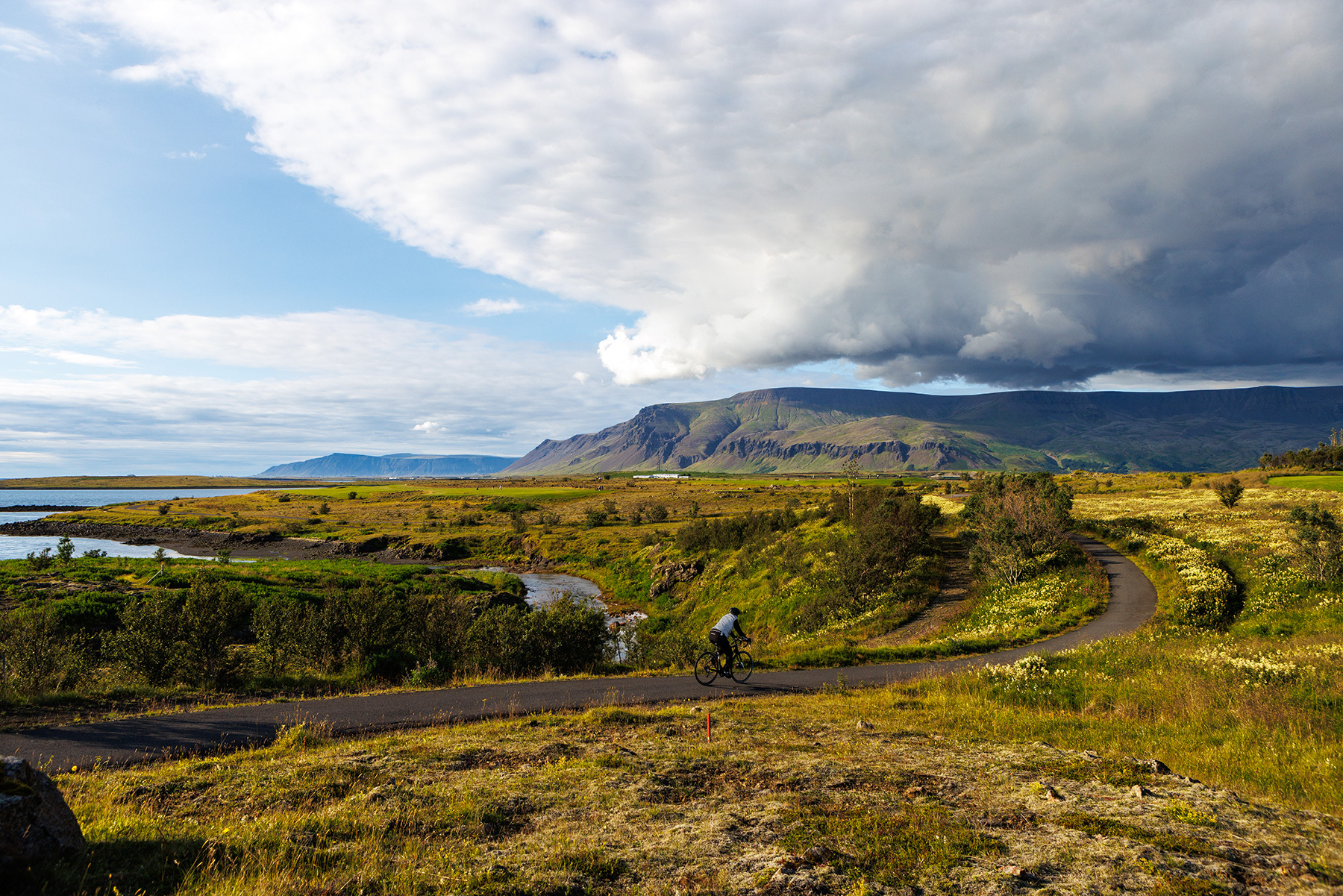
The journey starts from Fossvogsdalur. From there, the route follows along the Elliðaár rivers and then continues through the Bryggjuhverfi neighborhood, into Grafarvogur, and to Keldur in Grafarholt. The route then heads north to Úlfarsfell on a path along Vesturlandsvegur. The ride continues towards Mosfellsbær, passing through the town, down to Varmá, and back up alongside Helgafell until turning into Mosfellsdalur. From there, the route follows all the way to Gljúfrasteinn. On the return journey, the ride goes to Hlégarður and the Afturelding sports facilities, then turns north through the town to reach the path by the shoreline. The path is then followed along the shore all the way back to Elliðaár estuary. Finally, the same route is taken back into Fossvogsdalur.
Fossvogur
Detailed Information
Duration
Distance
Difficulty
Cumulative Elevation Gain
Maximum Altitude
Available
Access
Path Visibility
Path Lighting
Path Surface
Path Width
Path Dangers
Path Obstacles
Gpx Start Point
Gpx Starting Point Elevation
Cumulative Elevation Loss
Maximum Altitude Coordination
Minimum Altitude
Minimum Altitude Coordinations
Route Distance
Service Notes
Cafés, gas stations, and shops can be found along the route.
Obstacle Notes
Near Gljúfrasteinn, the route follows the highway.
