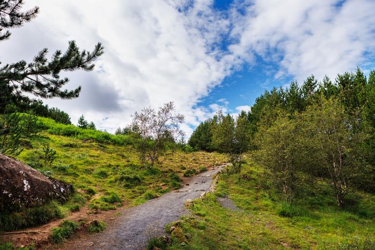
Hólmsheiði and Rauðavatn
The hiking route around Hólmsheiði and Rauðavatn is a delightful surprise, offering a mix of heathland and forested areas that are home to diverse birdlife. The hike begins at the parking area in Hádegismóar, following a well-maintained trail that leads into the heath. The path takes hikers to Paradísarskál, a popular spot among dog owners where off-leash walking is allowed. Continuing along the trail, the route takes a right turn when the path splits, leading along ridges overlooking Rauðavatn, descending to the lake, and following its shoreline back to the starting point. A network of trails weaves through the forest surrounding Rauðavatn and circles the lake. The area is widely used year-round for hiking and horseback riding, and during winter, visitors often enjoy ice skating on the lake or cross-country skiing in the surrounding landscape.
Hádegismóar parking lot
Detailed Information
Duration
Distance
Difficulty
Cumulative Elevation Gain
Maximum Altitude
Available
Access
Path Visibility
Path Lighting
Path Surface
Path Width
Path Dangers
Path Obstacles
Services
Gpx Start Point
Gpx Starting Point Elevation
Cumulative Elevation Loss
Maximum Altitude Coordination
Minimum Altitude
Minimum Altitude Coordinations
Route Distance
