Image

Municipality
Kópavogsdalur and Kópavogstún
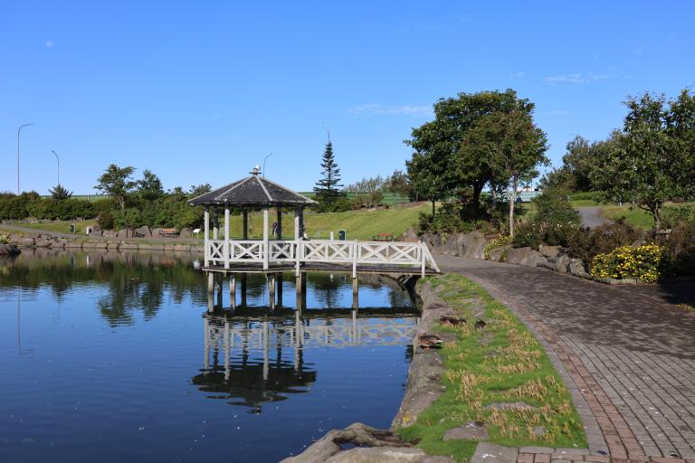
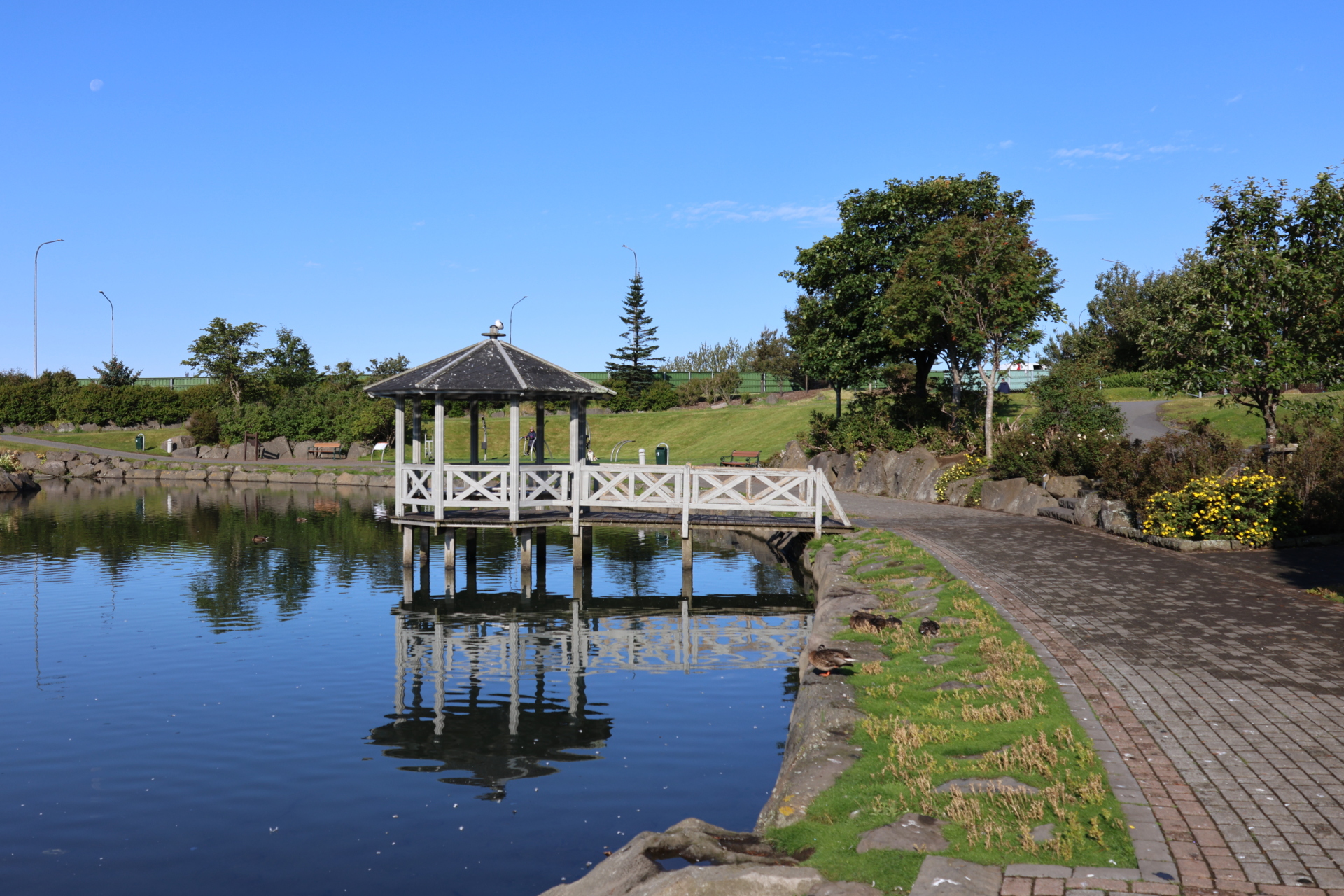
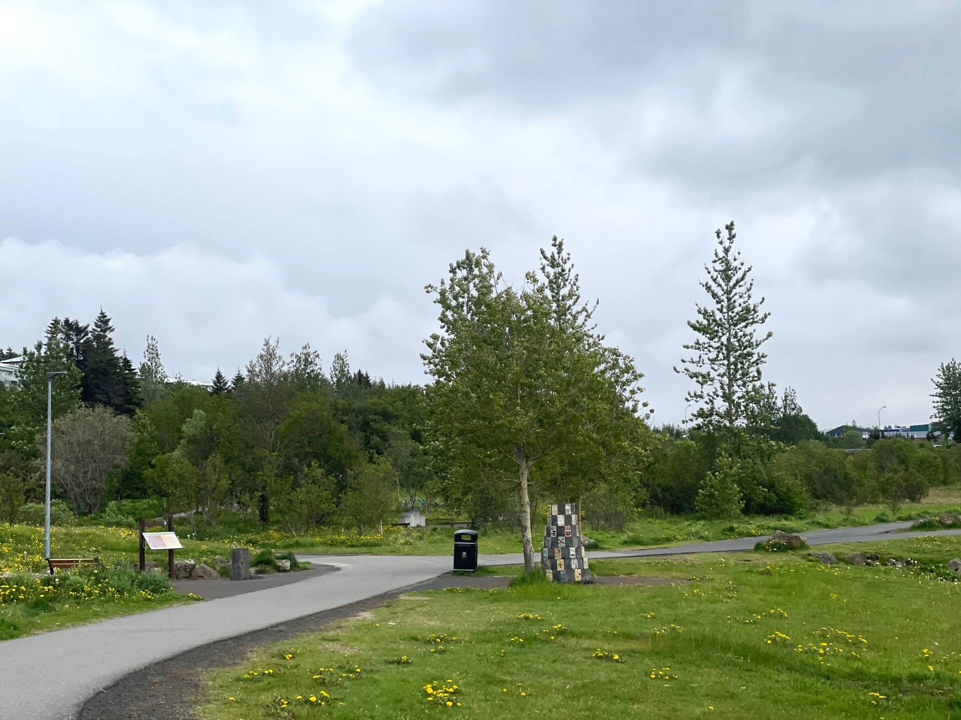
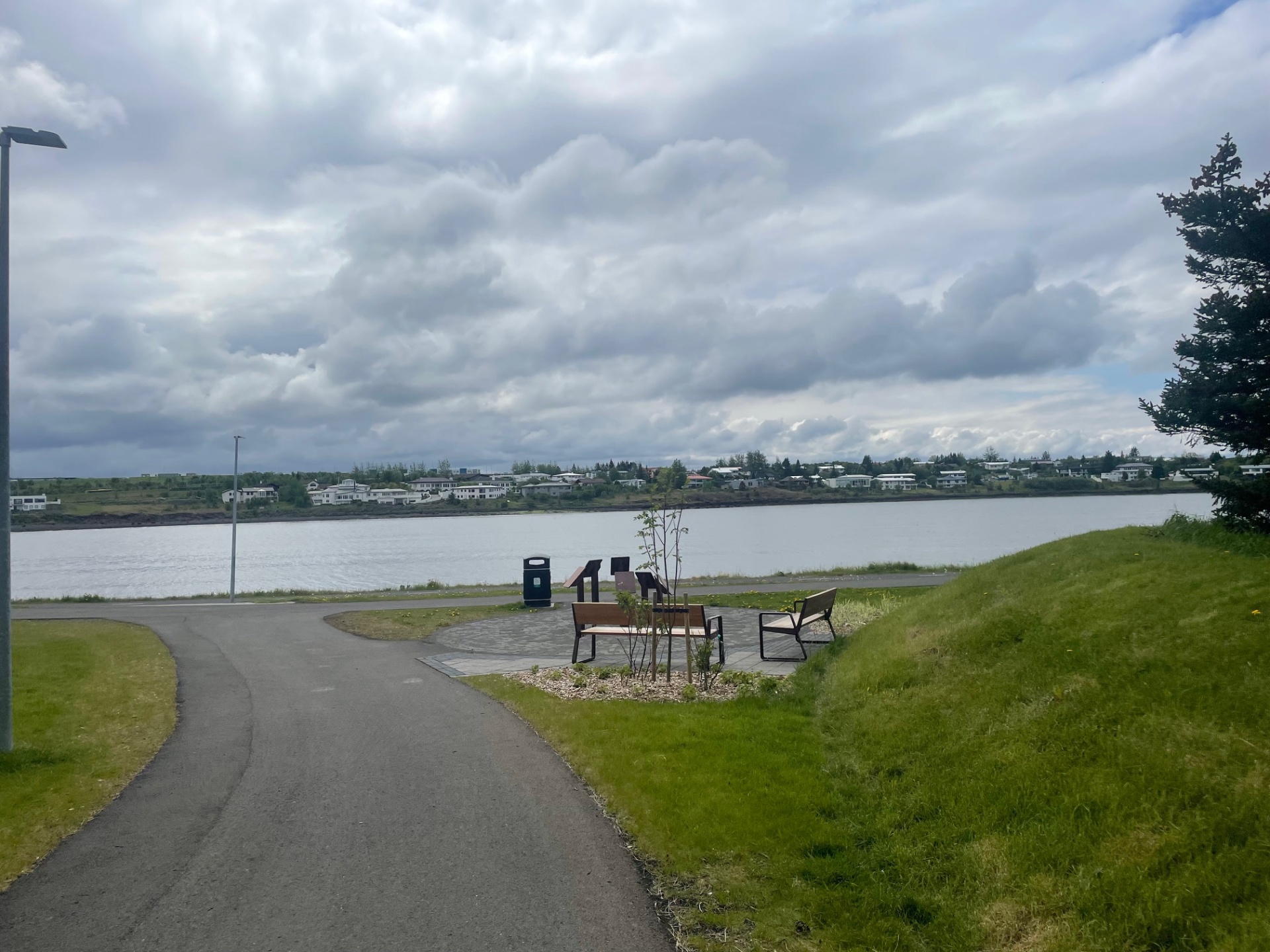
This 3.5 km walking route runs on both sides of Hafnarfjarðarvegur and passes through two of Kópavogur’s most popular outdoor areas: Kópavogsdalur and Kópavogstún. On this short loop, you get a good insight into these areas with a view toward the east and west. The route passes through various spots that highlight the diversity of nature, history, and culture in the area. Signs along the way explain how local place names are connected to the history of the people in the valley. This route can be walked year-round and the valley is relatively sheltered from most wind directions.
Starting Point
Kópavogsvöllur stadium
Detailed Information
Duration
Distance
3.27km
Difficulty
Cumulative Elevation Gain
34,5m
Maximum Altitude
18,8m
Available
Access
Path Visibility
Path Lighting
Path Surface
Path Width
Path Dangers
Path Obstacles
Gpx Start Point
64
.10,
-21.
89
Gpx Starting Point Elevation
15,3m
Cumulative Elevation Loss
34,2m
Maximum Altitude Coordination
64
.10,
-21.
88
Minimum Altitude
9,2m
Minimum Altitude Coordinations
64
.10,
-21.
89
Route Distance
3.273,2m


