Image

Municipality
The Seltjarnarnes Circle
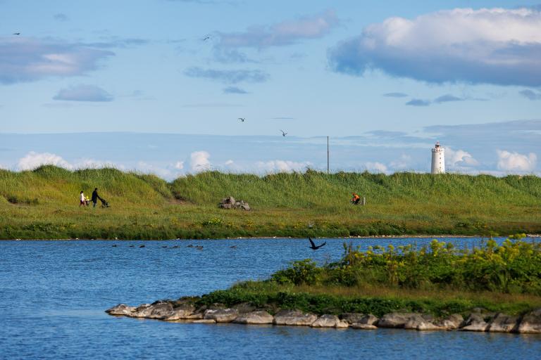
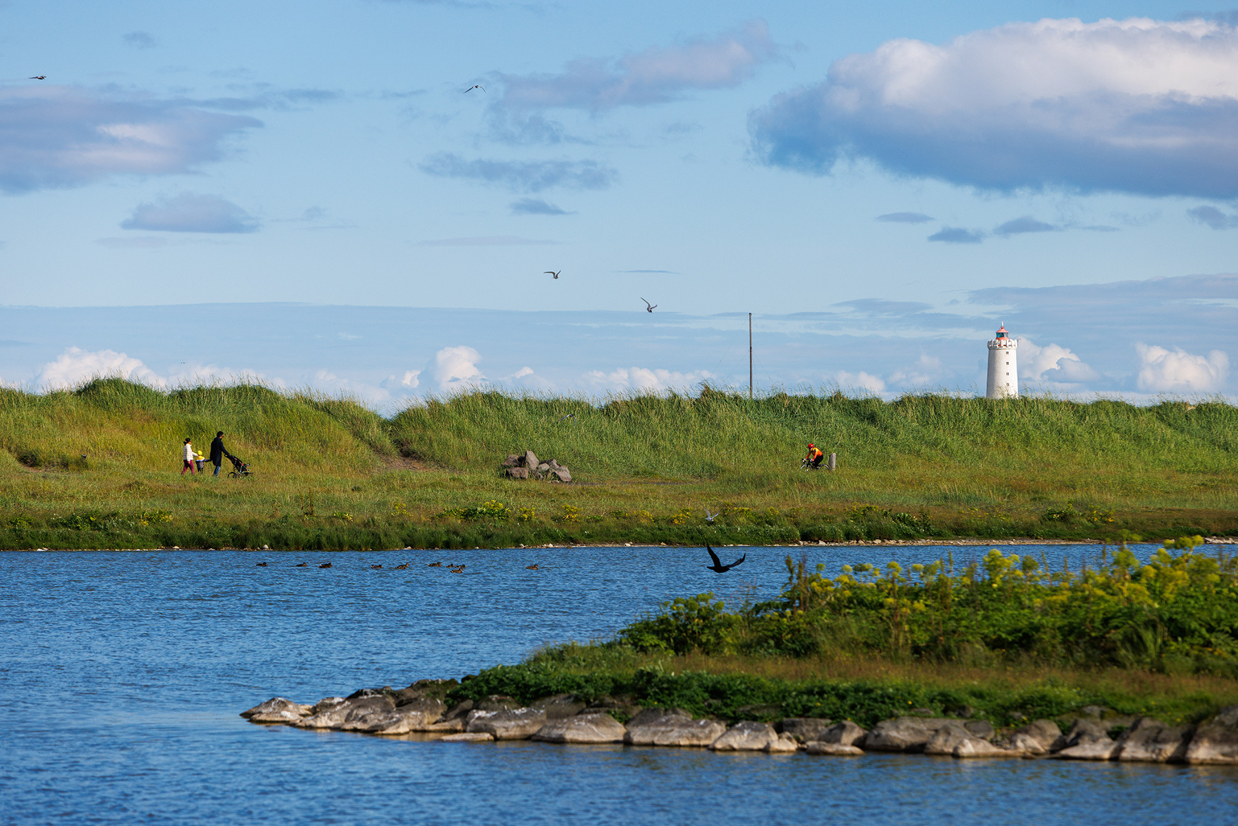
A short walking loop from Sundlaug Seltjarnarness follows the northern coastline of Seltjarnarnes, turning right at Lindarbraut and heading south to the southern shore before returning to the swimming pool. After the walk, it's perfect to relax with a swim at the pool or visit Bakkagarður playground for some fun on the zipline.
Starting Point
Seltjarnarnes swimming pool
Detailed Information
Duration
Distance
3.55km
Difficulty
Cumulative Elevation Gain
39,6m
Maximum Altitude
87,5m
Available
Access
Path Visibility
Path Lighting
Path Surface
Path Width
Path Dangers
Path Obstacles
Gpx Start Point
64
.14,
-21.
99
Gpx Starting Point Elevation
80,4m
Cumulative Elevation Loss
41,3m
Maximum Altitude Coordination
64
.15,
-21.
98
Minimum Altitude
52,0m
Minimum Altitude Coordinations
64
.14,
-21.
99
Route Distance
3.551,0m
Service Notes
Restrooms are available at the Seltjarnarnes swimming pool
