Image

Municipality
Strandstígur
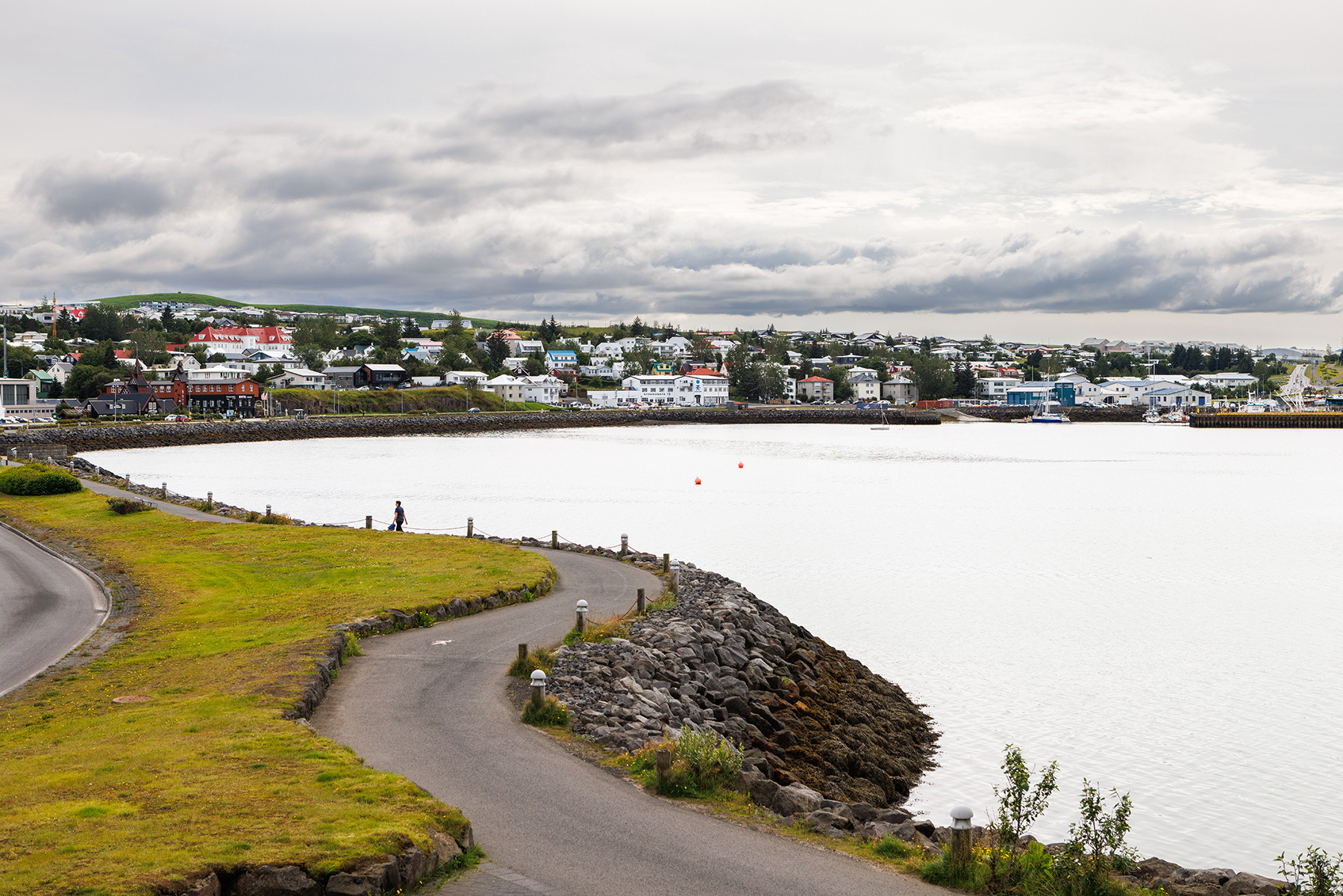
Strandstígur is a scenic walking and cycling path along Hafnarfjörður harbor, offering stunning views over Faxaflói Bay and the bustling port. Along the trail, the Hafnarfjörður Museum has set up an engaging photo exhibition that highlights the daily lives and history of the people who built the town, making for an interesting stop along the way. The route is approximately 4 km round trip, with benches along the way where visitors can sit and enjoy the view. Walking along Norðurbakki, it’s common to see people fishing, as the area is a popular spot for angling. Parking is available at both ends of the trail, allowing for a flexible start point depending on convenience.
Starting Point
Strandgata in Hafnarfjörður
Detailed Information
Duration
Distance
4.07km
Difficulty
Cumulative Elevation Gain
315,3m
Maximum Altitude
132,4m
Available
Access
Path Visibility
Path Lighting
Path Surface
Path Width
Path Dangers
Path Obstacles
Gpx Start Point
64
.06,
-21.
95
Gpx Starting Point Elevation
91,5m
Cumulative Elevation Loss
330,1m
Maximum Altitude Coordination
64
.06,
-21.
96
Minimum Altitude
70,3m
Minimum Altitude Coordinations
64
.06,
-21.
95
Route Distance
4.074,5m
