Skip to main content
Út um allt ... höfuðborgarsvæðið
en
is
Enter a search string
Outdoor Area
Municipality
Reykjavík
Hafnarfjörður
(-)
Garðabær
(-)
Seltjarnarnes
Kópavogur
Path Surface
Facet Path Surface
Duration
Facet Duration
Difficulty
Facet Difficulty
Area Access
Child-friendly area
Dogs allowed
Accessible for Disabled
Facet Area Access
Area services
Walking Paths
Parking
Benches / Resting Area
Cycling Path
Waste Bins
(-)
Culture / History
Playground
Tables and Benches
Toilets
Lighting
Drinking Water
Football Field
Frisbee Golf
Exercise Equipment
Artwork
EV Charging Station
Water Playground
Volleyball Court
Swimming Pool
Sea Swimming
BBQ Area
BBQ Shelter
Restaurant / Café
Facet Area services
Area Type
Green Area
Forest
Lake
Sea and Shore
Facet Area Type
Home
Bike and Hiking Routes
Map of Bike and Hiking Routes
Outdoor Areas
Map of Outdoor Areas
About the Website
How do I use the Website?
Visit Reykjavík
Image
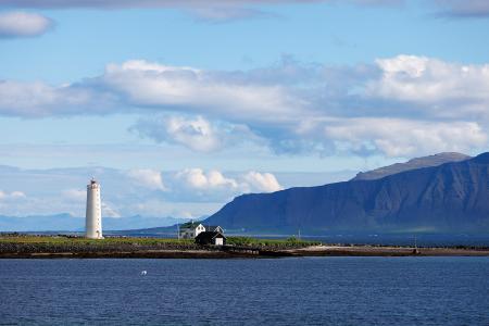
Grótta
Outdoor Area
Grótta is a scenic, land-connected island off the western coast of Seltjarnarnes, known for…
Municipality
Seltjarnarnes
Image
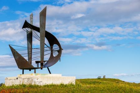
Valhúsahæð
Outdoor Area
Valhúsahæð, the highest point in Seltjarnarnes at 31 meters above sea level, is a popular…
Municipality
Seltjarnarnes
Image
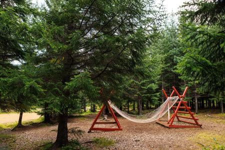
Heiðmörk
Outdoor Area
Heiðmörk is the largest and one of the most popular outdoor recreational areas in the capital…
Municipality
Reykjavík
Garðabær
Image
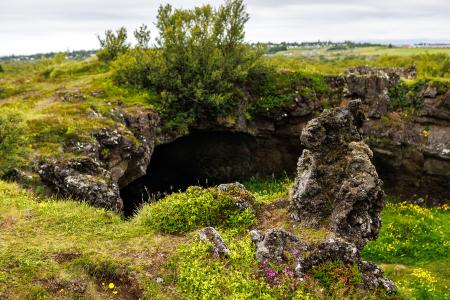
Maríuhellar
Outdoor Area
Maríuhellar in Heiðmörk refer to three caves located in Svínahraun, near the intersection of…
Municipality
Garðabær
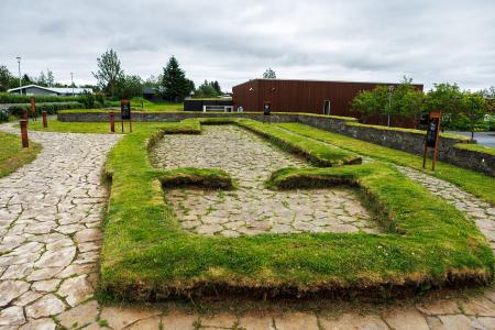
Image
Hofsstaðir
Outdoor Area
Hofsstaðir in Garðabær is an important archaeological site featuring the remains of a Viking…
Municipality
Garðabær