Around Helgafell in Hafnarfjörður
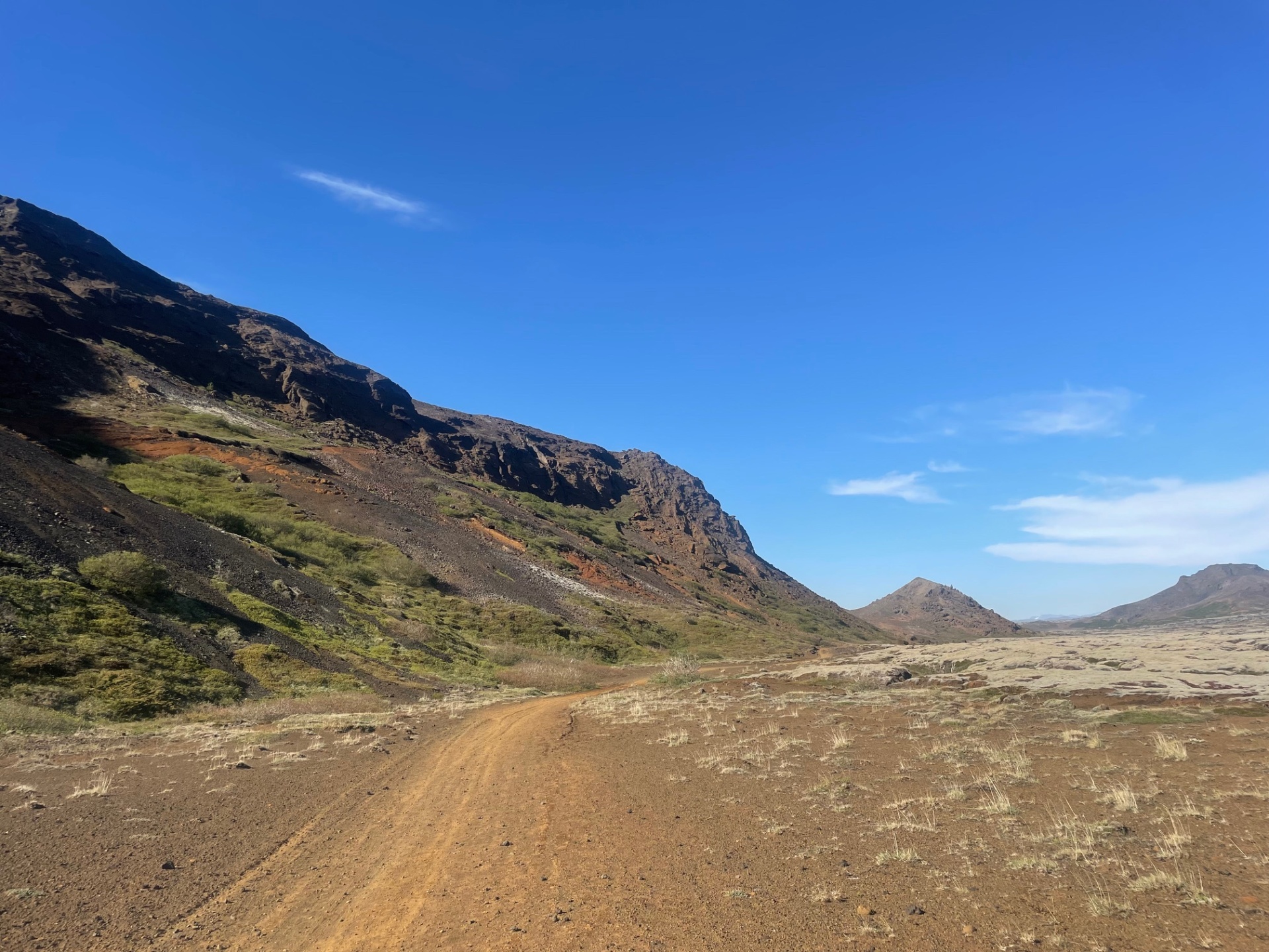
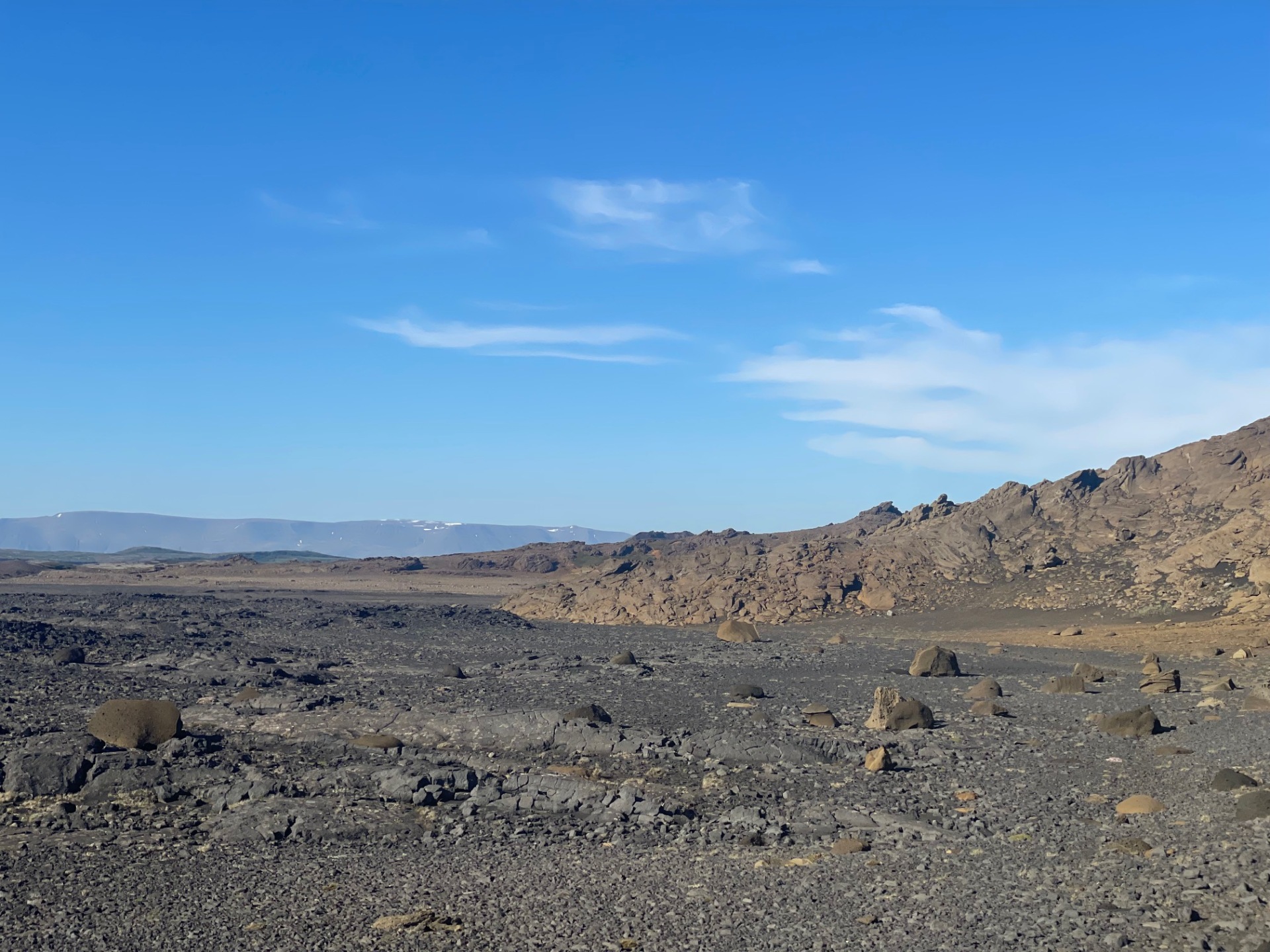
The hike up Helgafell in Hafnarfjörður is very popular among locals, but walking the loop around this majestic mountain is also an enjoyable alternative. The route begins at the Helgafell parking lot and follows a well-marked trail toward the mountain through the Valahnúkar pass. Instead of heading up the mountain, the trail continues around it. The path is diverse and easy to follow, alternating between gravel, sand, and lava rock. After passing the eastern side of the mountain halfway, you’ll come across a striking rock pillar called Riddarinn (“The Knight”), which is a great spot to pause and take in the view. The trail then continues along the eastern and southern sides of Helgafell, eventually rejoining the original path. From there, it is a short walk back to the parking lot where the hike began.
Parking lot by Helgafell
Detailed Information
Duration
Distance
Difficulty
Cumulative Elevation Gain
Maximum Altitude
Available
Access
Path Visibility
Path Lighting
Path Width
Path Dangers
Path Obstacles
Services
Gpx Start Point
Gpx Starting Point Elevation
Cumulative Elevation Loss
Maximum Altitude Coordination
Minimum Altitude
Minimum Altitude Coordinations
Route Distance