Skip to main content
Út um allt ... höfuðborgarsvæðið
en
is
Home
Bike and Hiking Routes
Map of Bike and Hiking Routes
Outdoor Areas
Map of Outdoor Areas
Sundlaugar
Map of Swimming Pools
About the Website
How do I use the Website?
Visit Reykjavík
Gravel
Gravel
Image
Running
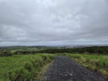
Hobbitastígur and Vífilsstaðahlíð
An enjoyable trail run in Garðabær starting at the end of Vífilsstaðahlíð, traversing the…
Garðabær
Image
Running
Reynisvatn circle
A varied trail run by Reynisvatn east of Grafarholt. An approximately 9.5 km loop that uses…
Reykjavík
Image
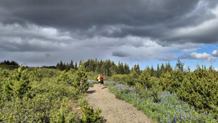
Running
The Ríkishringur circle in Heiðmörk
One of the most popular trail runs in the Reykjavík greater area, an approximately 12 km loop…
Reykjavík
Image
Úlfarsfell from the forestry area
A popular trail run up Úlfarsfell, starting at the Hamrahlíð forestry area on the mountain's…
Mosfellsbær
Image
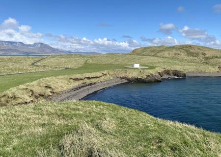
Urriðavatn
Walk:
3.21km
Difficulty
Level 1
A short and easy walking route around Urriðavatn in Garðabær. The surroundings of the lake are…
Garðabær
Image
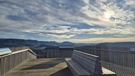
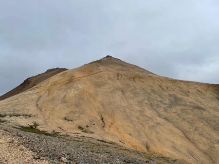
Móskarðshnjúkar
Walk:
8.03km
Difficulty
Level 3
Móskarðshnjúkar are two majestic peaks east of Esja, offering a challenging but well-marked…
Reykjavík
Image
Viðey
Walk:
8.04km
Difficulty
Level 2
The walking route around Viðey is easy and enjoyable, where nature, history, and art…
Reykjavík
Image
Cycling through Hafnarfjörður
Bike:
18.04km
Difficulty
Level 2
Cycling route from Ásvallalaug in Hafnarfjörður via Hvaleyrarvatn, featuring both paved and…
Hafnarfjörður
Image
Cycling in Mosfellsbær
Bike:
10.58km
Difficulty
Level 1
An enjoyable cycling route in Mosfellsbær that starts at the Varmár sports area and runs along…
Mosfellsbær
Image
Reykjaborg and Lali
Walk:
6.86km
Difficulty
Level 2
The two mountains Reykjaborg and Lali are neither steep nor high, making them ideal for a…
Mosfellsbær
Image
Around Helgafell in Hafnarfjörður
Walk:
8.34km
Difficulty
Level 2
The hike up Helgafell in Hafnarfjörður is very popular among locals, but walking the scenic…
Hafnarfjörður
Image
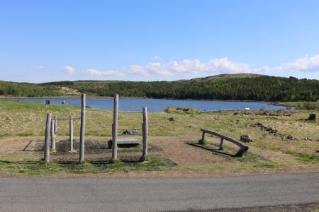
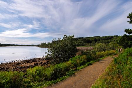
Hvaleyrarvatn
Walk:
1.96km
Difficulty
Level 1
Hvaleyrarvatn is a stunning outdoor area with numerous walking trails, including a short and…
Hafnarfjörður
Image
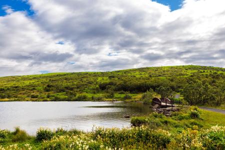
Vífilsstaðavatn
Walk:
2.62km
Difficulty
Level 1
A short and enjoyable walking trail around Vífilsstaðavatn, perfect for anyone looking to…
Garðabær