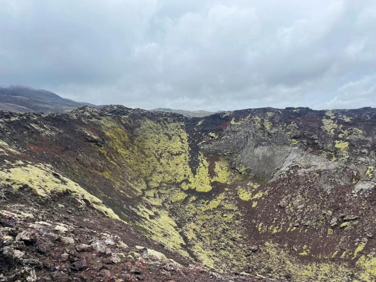
Eldborg, Stóra Kóngsfell and Drottning
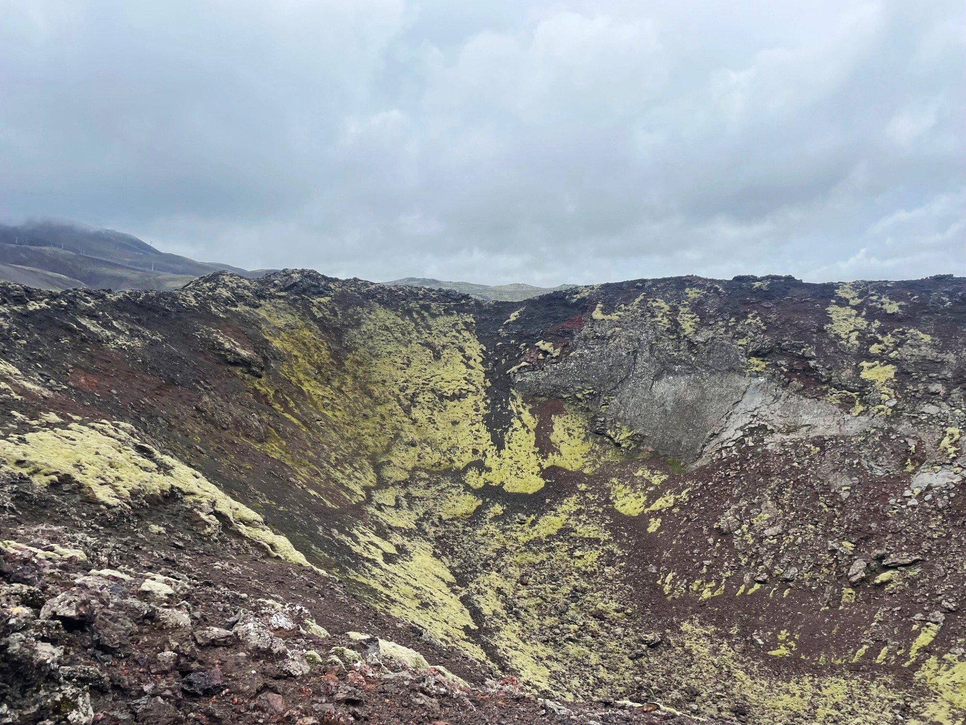
The route begins a short distance from the ski area in Bláfjöll, by a beautifully shaped crater called Eldborg. The crater, which was protected as a natural monument in 1971, is exceptionally impressive and easily accessible. A well-marked trail leads up to its rim, offering spectacular views down into the crater and across the surrounding lava field.
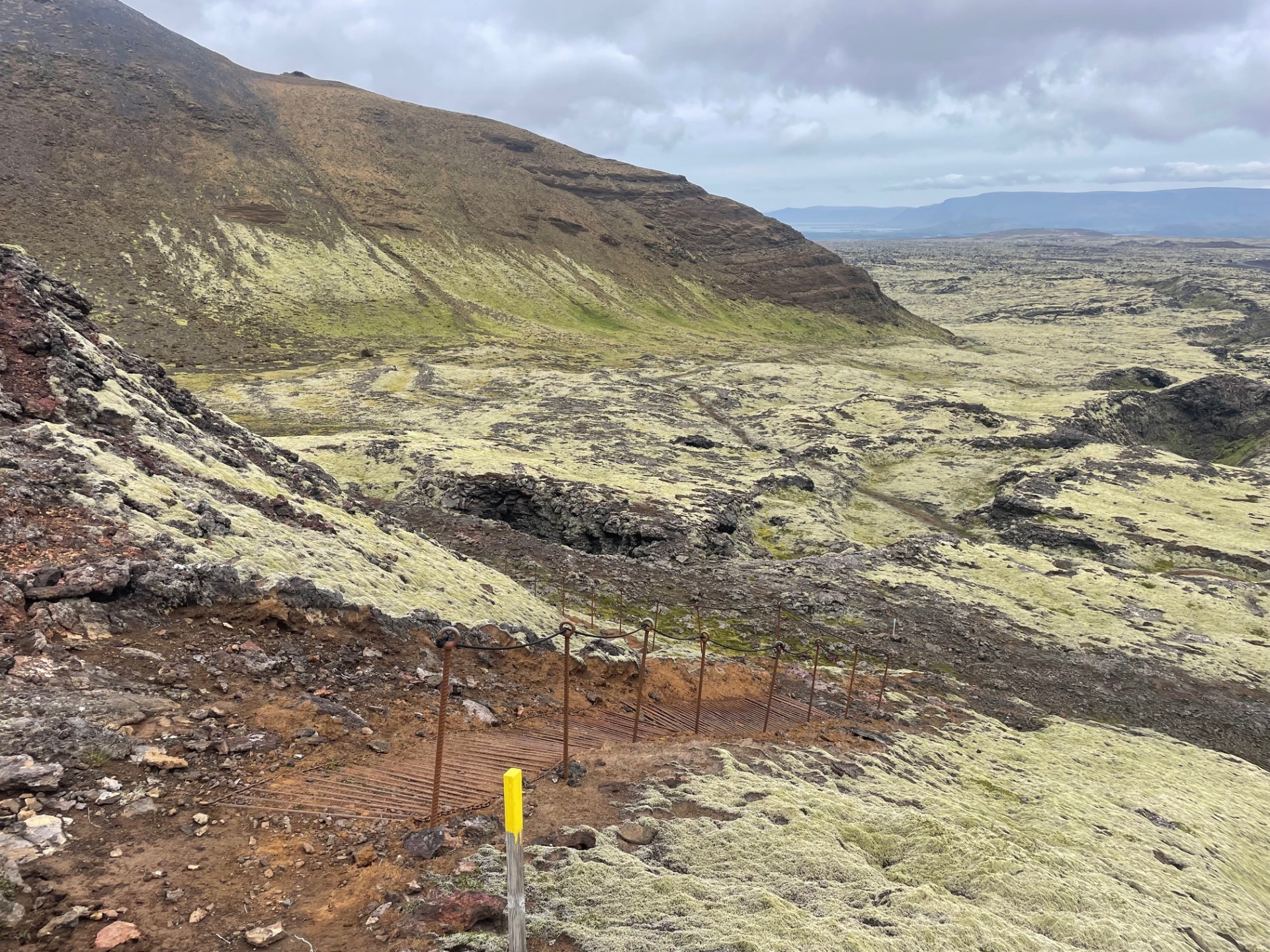
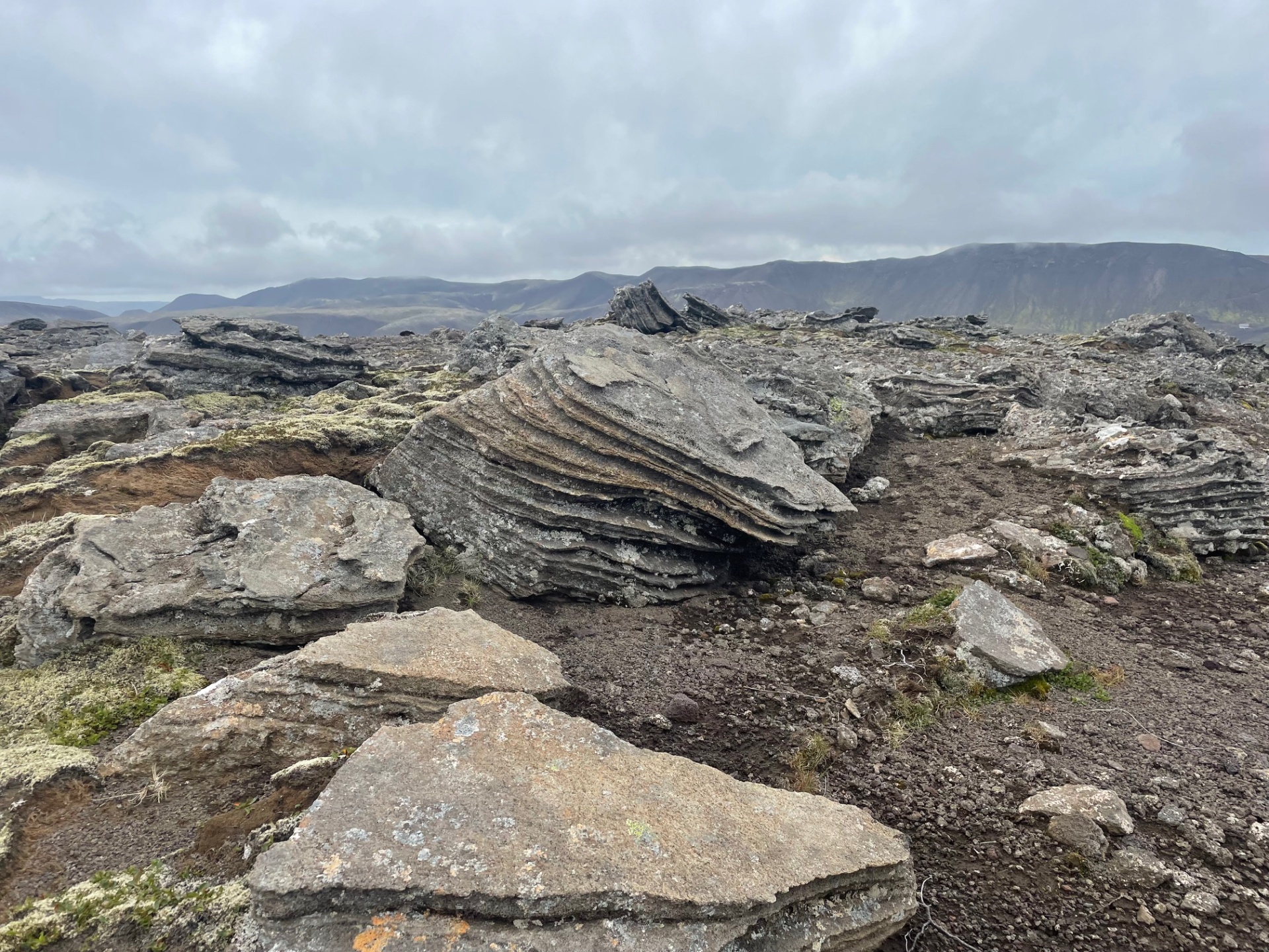
From Eldborg, the route continues alongside Drottningin (“the Queen”). The path winds through moss-covered lava, where it is important to watch out for fissures and cracks hidden in the landscape. A fairly steep ascent then follows up Stóra-Kóngsfell, but a faint zigzagging trail makes the climb manageable.
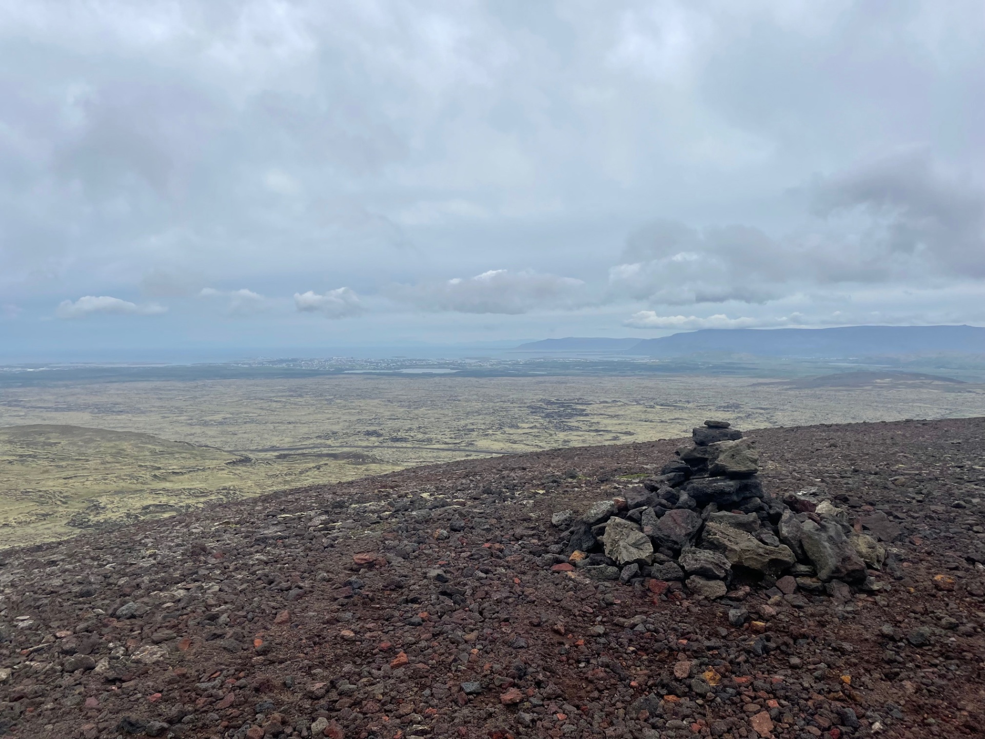
After spending some time at the summit, where the views are magnificent, the descent is made along the same route. The route then returns to Drottningin, and the loop is completed by circling the mountain and following the markers back to the parking area.
Parking lot by Eldborg
