Elliðaárdalur
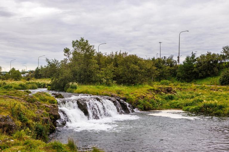
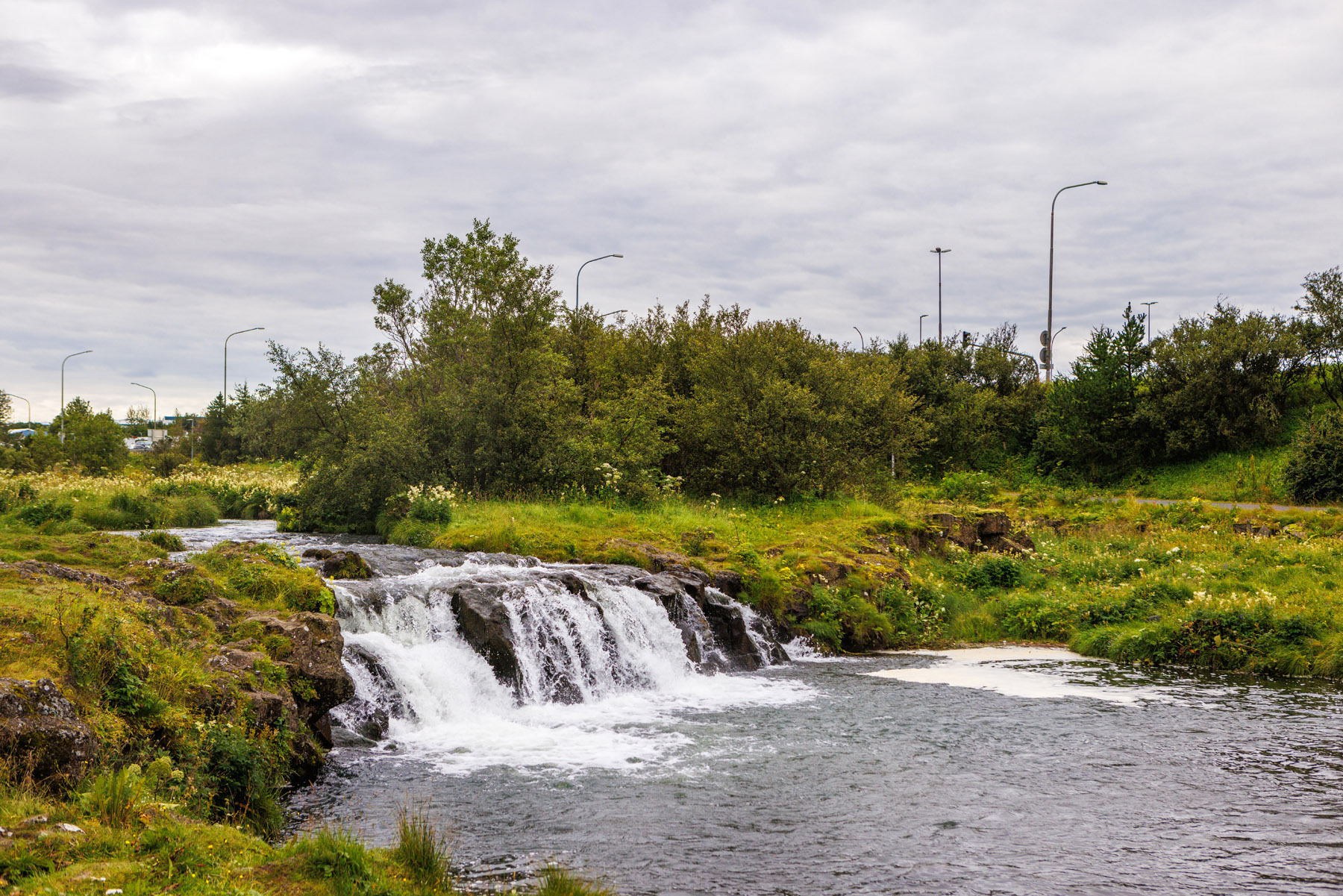
Elliðaárdalurinn is surrounded by greenery, woodland clearings, and diverse birdlife. The route through Elliðaárdalurinn is just over 8 km long and is well-suited for both experienced and novice cyclists, as the paths are mostly paved and easy to follow. The bike ride begins at Elliðaárstöð, where you ascend a hill and pass under the Höfðabakki Bridge. From there, the path continues along the river on a good trail. You ride past Fylkir’s training grounds and continue by the Víðidalur horse stables toward Breiðholtsbraut. Then you cross the river and cycle back along the southern side of the rivers, following the path until you return to Höfðabakki Bridge. It is possible to shorten the route by crossing the bridge and returning to the parking lot by Rafstöðvarvegur. Those who wish to complete the full loop continue toward Vesturlandsvegur. There, paths and trails run along the river. On a short section, it may be necessary to walk the bike, especially for less experienced cyclists. Finally, the ride follows the path alongside Rafstöðvarvegur, returning to the starting point at the parking lot.
Elliðaárstöð
Detailed Information
Duration
Distance
Difficulty
Cumulative Elevation Gain
Maximum Altitude
Available
Access
Path Visibility
Path Lighting
Path Surface
Path Width
Path Dangers
Path Obstacles
Gpx Start Point
Gpx Starting Point Elevation
Cumulative Elevation Loss
Maximum Altitude Coordination
Minimum Altitude
Minimum Altitude Coordinations
Route Distance
Service Notes
Services are available at Elliðaárstöð and Árbæjarsundlaug.
