The Garðabær Circle
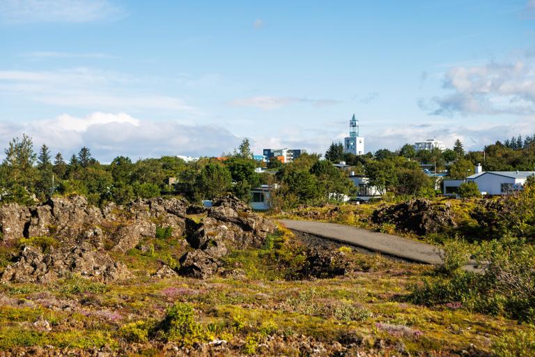
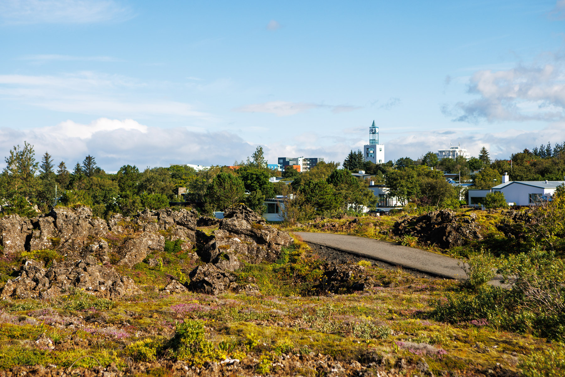
This route begins at Vídalínskirkja (Vídalín Church), and it’s ideal to start or end the bike ride with a visit to the Hofsstaðir Heritage Park. There, the remains of the second-largest settlement-age longhouse discovered in Iceland have been excavated. The ride continues through residential streets and past Holtstún, where the Sisters of St. Joseph lived until 1998. The route proceeds across the bridge over Reykjanesbraut. On the way up to Vífilsstaðavatn, you can see Vífilsstaðir, which operated as a tuberculosis sanatorium from 1910 until tuberculosis was largely eradicated in the mid-20th century. The journey continues toward Vífilsstaðahlíð and then to Urriðaholt. You follow the Refugee Road ("Flóttamannavegur") before joining the path at Urriðaholt. The route crosses the bridge over Reykjanesbraut near Kauptún and leads to a trail that winds through the rugged Garðahraun lava field. Finally, you bike up Flatirnar and back to Vídalínskirkja, where the trip began.
Vídalínskirkja (Vídalín Church)
Detailed Information
Duration
Distance
Difficulty
Cumulative Elevation Gain
Maximum Altitude
Available
Access
Path Visibility
Path Lighting
Path Width
Path Dangers
Path Obstacles
Gpx Start Point
Gpx Starting Point Elevation
Cumulative Elevation Loss
Maximum Altitude Coordination
Minimum Altitude
Minimum Altitude Coordinations
Route Distance
