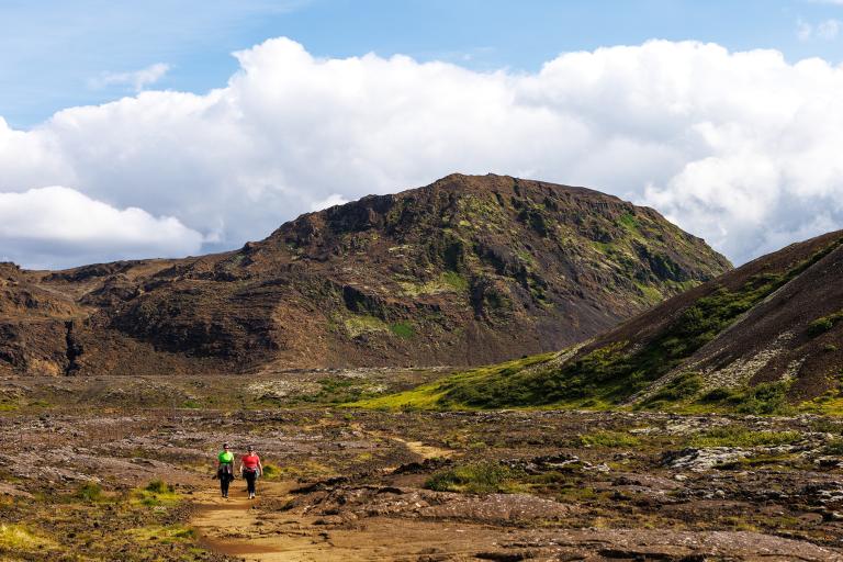
Helgafell in Hafnarfjörður
Helgafell, located near Kaldárbotnar in Hafnarfjörður, stands at 338 meters above sea level and is a highly popular hiking destination. Several routes lead to the summit, with the most frequently used one starting from a new and well-marked parking area at Kaldárbotnar. From there, the trail to the mountain is clearly visible. The hike passes by Hafnarfjörður's water reservoirs at Kaldárbotnar and continues along a path marked with cairns guiding the way to the ascent. The climb is relatively steep, especially at the beginning when hikers ascend a small, shallow ravine to reach the next plateau above. However, it is generally considered an easy hike. Helgafell is a tuya, formed by a subglacial volcanic eruption during the last ice age. The terrain is firm and comfortable for hiking, but due to the solid ground, it can be difficult to establish a clearly defined trail. Nevertheless, the path is fairly distinct, with cairns placed at several points to aid navigation. Upon reaching the summit, hikers are rewarded with breathtaking panoramic views in all directions. An orientation table at the top helps identify surrounding landmarks. Before descending, it is a local tradition to sign the guestbook located at the summit. The descent follows the same route as the ascent, with caution advised on loose stones and gravel, particularly when descending the ravine.
Parking lot by Helgafell
Detailed Information
Duration
Distance
Difficulty
Cumulative Elevation Gain
Maximum Altitude
Available
Access
Path Visibility
Path Lighting
Path Surface
Path Width
Path Dangers
Path Obstacles
Gpx Start Point
Gpx Starting Point Elevation
Cumulative Elevation Loss
Maximum Altitude Coordination
Minimum Altitude
Minimum Altitude Coordinations
Route Distance
Service Notes
Trash disposal facilities are available at the parking area.
