Helgafell in Mosfellsbær
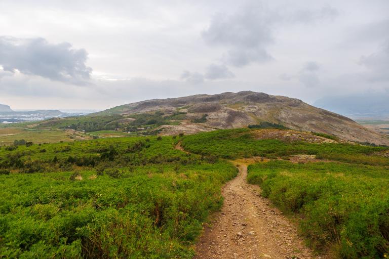
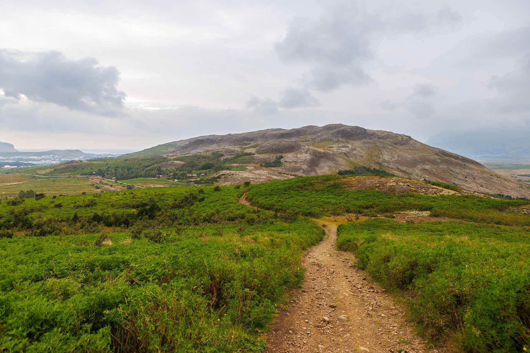
Helgafell, standing at 217 meters above sea level, offers an enjoyable and easy hiking route with excellent views to the north over Esja’s slopes, Mosfellsbær, and the western part of the capital area. The hike starts at an information sign along Þingvallavegur, where visitors can find various interesting details about the area. From the parking lot, the well-marked trail leading up the hill is clearly visible, marked with orange posts. Before beginning the ascent, hikers will notice a small depression in the mountain—remnants of an unsuccessful gold mining attempt around the year 1900. As the trail leads to the top, a beautiful panoramic view unfolds, featuring Hafravatn lake and the Bláfjöll mountain range. At the summit, ruins of a watchtower from the wartime occupation years can also be found. For those looking to extend their adventure, it's possible to continue east across the hill and complete a circular route, but this description follows the same path back to the parking area. Hikers should be cautious on the descent, as the loose gravel on the trail can make footing tricky.
Parking lot by Helgafell
Detailed Information
Duration
Distance
Difficulty
Cumulative Elevation Gain
Maximum Altitude
Available
Access
Path Visibility
Path Lighting
Path Surface
Path Width
Path Dangers
Path Obstacles
Services
Gpx Start Point
Gpx Starting Point Elevation
Cumulative Elevation Loss
Maximum Altitude Coordination
Minimum Altitude
Minimum Altitude Coordinations
Route Distance
