The Kópavogur Circle
The bike ride begins in the western part of Fossvogsdalur and initially follows the cycling path east through the valley. Upon reaching the Víkingur sports area, you turn right and cycle towards the lower part of Smiðjuvegur. There, a path runs above Tengi and alongside Reykjanesbraut. After passing through two underpasses, you reach Dalvegur, where the route continues. In Kópavogsdalur, special caution is needed for pedestrians, and several options are available to reach the underpass beneath Hafnarfjarðarvegur. Once there, the route follows the coastline along Kópavogur and out onto Kársnes. The path winds along the seaside at Kársnes, but extra care should be taken when crossing Vesturvör. The route then re-joins the Kársnes path on the north side, cycling into Fossvogur and around the bottom of the cove. The ride finishes by crossing the pedestrian bridge over Kringlumýrarbraut, rejoining the path where the journey began.
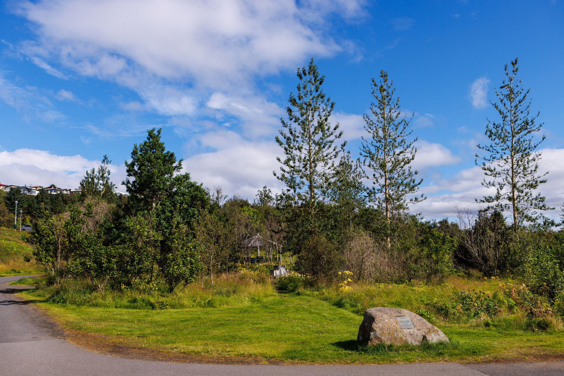
Fossvogur
Detailed Information
Duration
Distance
Difficulty
Cumulative Elevation Gain
Maximum Altitude
Available
Access
Path Visibility
Path Lighting
Path Surface
Path Width
Path Dangers
Path Obstacles
Gpx Start Point
Gpx Starting Point Elevation
Cumulative Elevation Loss
Maximum Altitude Coordination
Minimum Altitude
Minimum Altitude Coordinations
Route Distance
Service Notes
Along the route, there are cafés, shops, and a swimming pool.