Öskjuhlíð
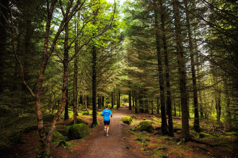
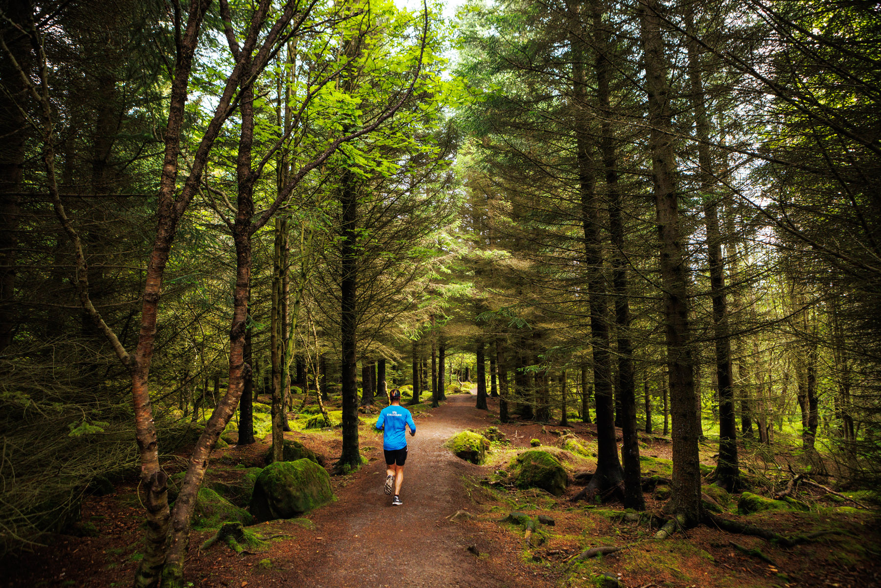
Öskjuhlíð is a unique recreational area near downtown Reykjavík, offering diverse nature and fascinating historical landmarks. The area features numerous trails that are enjoyable to explore, including the Bakgarðshringurinn, a 6.7 km walking and running loop that starts at Mjölnisheimilið. The route takes visitors through scenic trails along the slopes of Öskjuhlíð, pedestrian paths around the area, and down to Nauthólsvík. Öskjuhlíð boasts a rich variety of natural features, notable geological formations, one of Reykjavík’s densest forested areas, and unique relics from World War II. Its proximity to downtown Reykjavík, the university area in Vatnsmýri, and nearby recreational areas in Nauthólsvík and Fossvogur, as well as densely populated neighborhoods such as Bústaðahverfi and Hlíðar, makes it a highly popular destination for outdoor activities.
Mjölnir
Detailed Information
Duration
Distance
Difficulty
Cumulative Elevation Gain
Maximum Altitude
Available
Access
Path Visibility
Path Lighting
Path Surface
Path Width
Path Dangers
Path Obstacles
Services
Gpx Start Point
Gpx Starting Point Elevation
Cumulative Elevation Loss
Maximum Altitude Coordination
Minimum Altitude
Minimum Altitude Coordinations
Route Distance
Service Notes
Restrooms are available at Perlan and Nauthólsvík.
