Seltjarnarnes and golf course
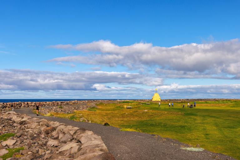
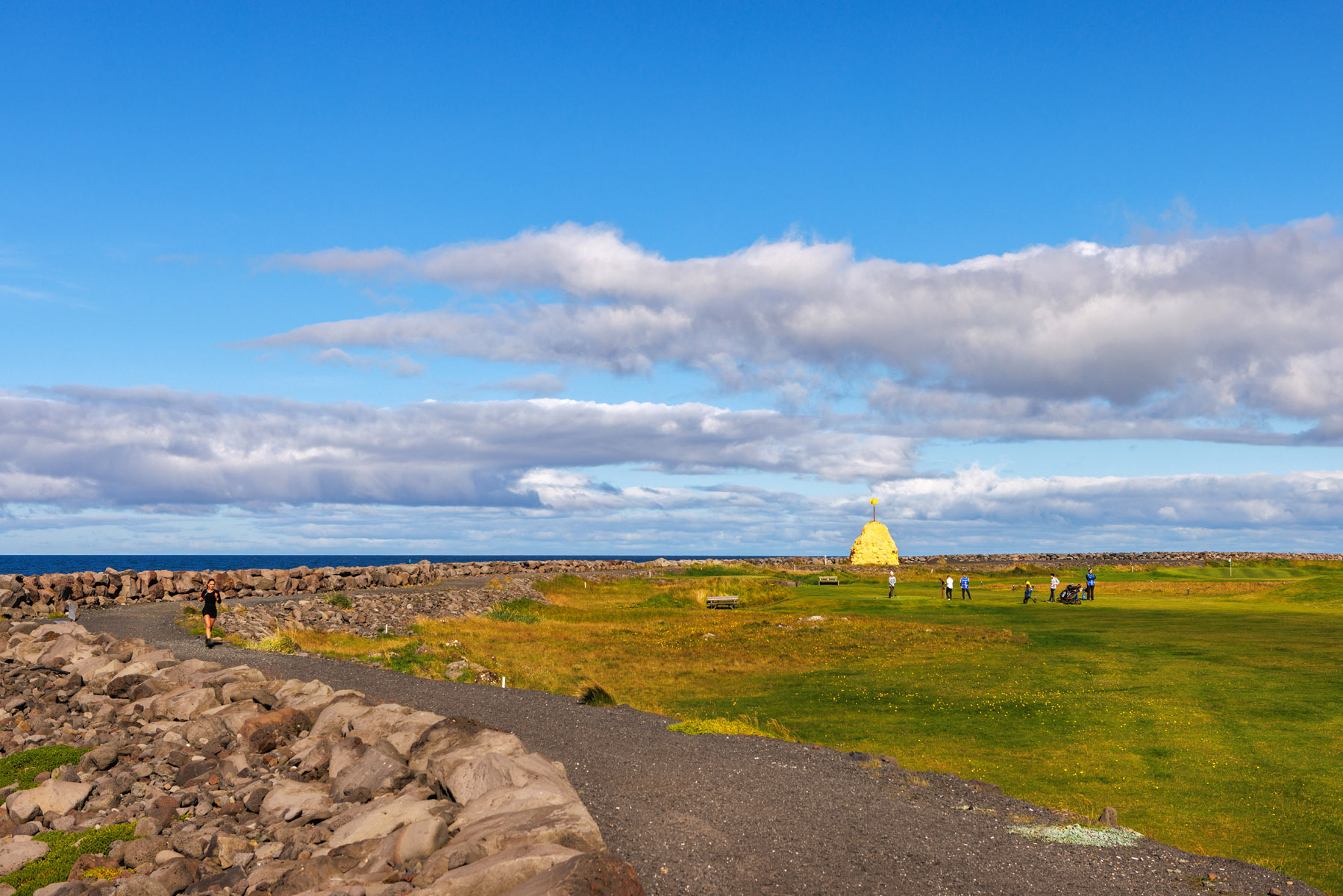
Seltjarnarnes offers excellent cycling and walking paths that pass through beautiful natural areas such as Grótta and the surroundings of Bakkatjörn. This 7.5 km circular route follows the coastline of Seltjarnarnes and the golf course, starting at the Grótta parking area. From there, the trail runs south along the shoreline, passing Bakkatjörn towards the golf club area. When the paved path ends, the route continues on a gravel trail that runs alongside the golf course and follows the coastline around it. The trail then continues on a paved path along the southern coast of Seltjarnarnes, heading east past the swimming pool and across the peninsula, reaching the northern shoreline near Eiðistorg. From there, the trail follows the northern side back to the starting point at Grótta. The peninsula offers breathtaking views over Faxaflói Bay, with particularly stunning sunsets. In summer, the outermost part of Seltjarnarnes becomes a true birdwatcher's paradise, as numerous bird species nest around Bakkatjörn and the old fields near Grótta, with the Arctic tern being the most prominent.
Parking lot by Grótta
Detailed Information
Duration
Distance
Difficulty
Cumulative Elevation Gain
Maximum Altitude
Available
Access
Path Visibility
Path Lighting
Path Surface
Path Width
Path Dangers
Path Obstacles
Gpx Start Point
Gpx Starting Point Elevation
Cumulative Elevation Loss
Maximum Altitude Coordination
Minimum Altitude
Minimum Altitude Coordinations
Route Distance
Service Notes
Restrooms are available at the Seltjarnarnes swimming pool
