Stórhöfði
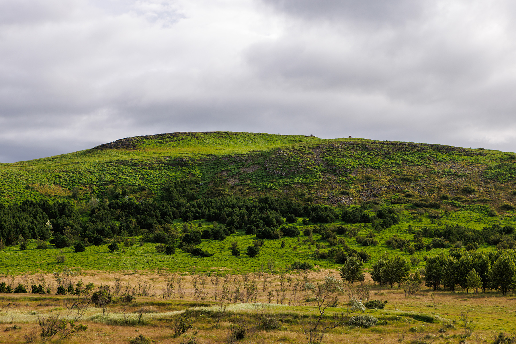
This enjoyable loop trail on Stórhöfði, near Hvaleyrarvatn, is perfect for the whole family. The hike begins at the parking area located on the western side of Hvaleyrarvatn and follows a vehicle track that runs alongside the Hafnarfjörður Forestry Association's cultivation area. After approximately 500 meters, a sign on the right marked "Stórhöfðastígur" directs hikers onto the designated walking path. The trail then winds along the Stórhöfði lava field, offering a scenic and diverse landscape. Shortly after passing the headland, a path appears on the right, leading all the way to the summit of Stórhöfði, where hikers are rewarded with breathtaking views of Helgafell, Lönguhlíðar, and the Reykjanes Peninsula. The route continues over Stórhöfði and descends back down to the forest area, eventually reconnecting with the original path and leading back to the parking area.
Parking lot on the western side of Hvaleyrarvatn
Detailed Information
Duration
Distance
Difficulty
Cumulative Elevation Gain
Maximum Altitude
Available
Access
Path Visibility
Path Lighting
Path Surface
Path Width
Path Dangers
Path Obstacles
Services
Gpx Start Point
Gpx Starting Point Elevation
Cumulative Elevation Loss
Maximum Altitude Coordination
Minimum Altitude
Minimum Altitude Coordinations
Route Distance