
The Water Circle in Heiðmörk
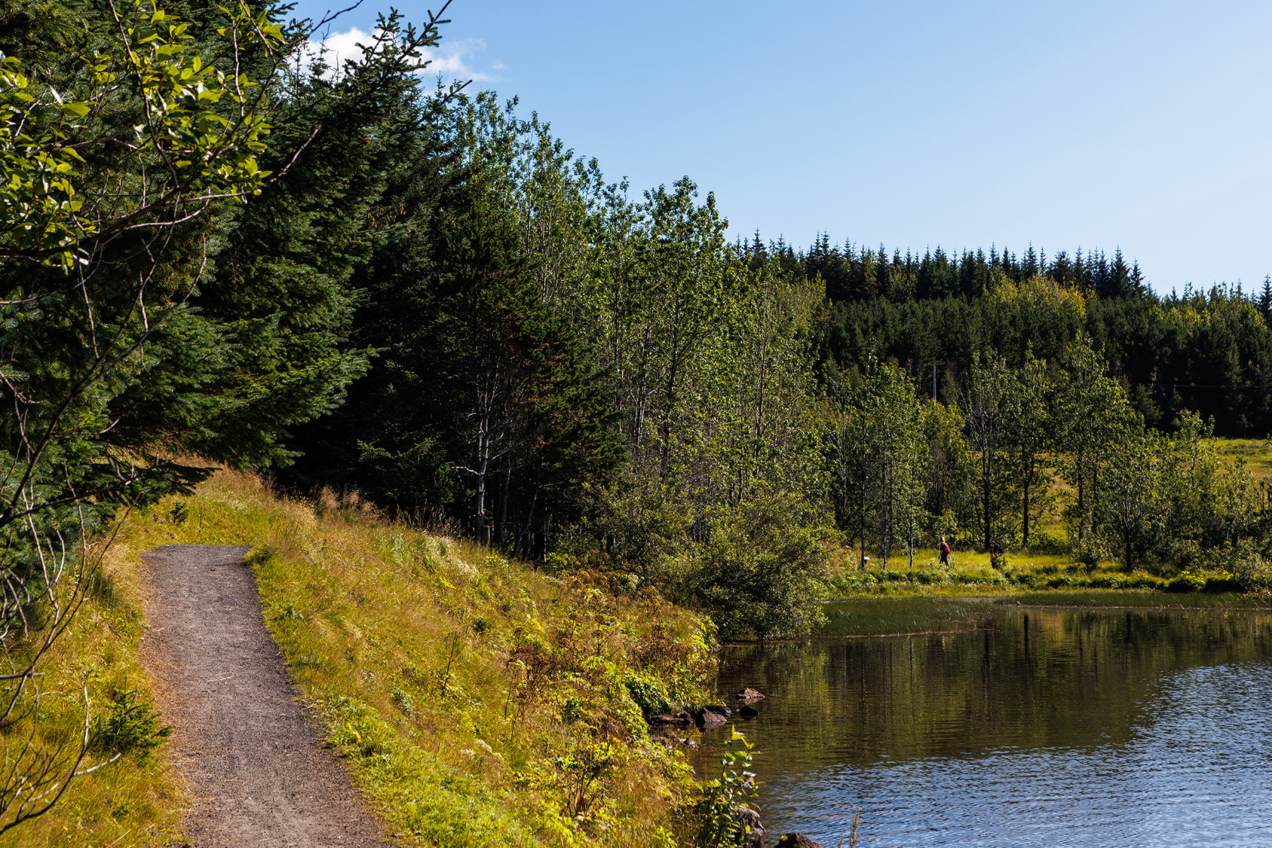
Heiðmörk offers countless well-marked walking trails in a stunning natural environment. The Water Circle, or Vatnahringurinn, is a 7.5 km walking, running, or cycling route, marked with blue posts. The trail offers a scenic journey through the area. The trail begins at the Borgarstjóraplan parking area, accessible via Rauðhólavegur from Suðurlandsvegur. Alternatively, it is possible to park at the parking lot by Helluvatn. More parking spaces can also be found in Heiðmörk. Along the route, hikers will pass by Elliðavatn and several smaller lakes, including Helluvatn, Hraunhúsatjörn, and Myllulækjatjörn. Educational signs, set up by the Reykjavík Forestry Association, provide insightful information about the area's birds, plants, trees, geology, and history, beautifully illustrated with detailed drawings. Heiðmörk is managed by the Reykjavík Forestry Association, a non-profit organization, and more information can be found at heidmork.is.
Borgarstjóraplan, a parking area in Heiðmörk, or the parking lot by Helluvatn
Detailed Information
Duration
Distance
Difficulty
Cumulative Elevation Gain
Maximum Altitude
Available
Access
Path Visibility
Path Lighting
Path Surface
Path Width
Path Dangers
Path Obstacles
Services
Gpx Start Point
Gpx Starting Point Elevation
Cumulative Elevation Loss
Maximum Altitude Coordination
Minimum Altitude
Minimum Altitude Coordinations
Route Distance
Borgarstjóraplan, a parking area in Heiðmörk, or the parking lot by Helluvatn