Skip to main content
Út um allt ... höfuðborgarsvæðið
en
is
Filters
(
0
)
Enter a search string
Clear filters
Clear filters
Walk
Running
Outdoor Area
Bike
Swimming Pools
Municipality
(-)
Reykjavík
(-)
Mosfellsbær
Garðabær
Kópavogur
Hafnarfjörður
Seltjarnarnes
Path Surface
Other
Asphalt
Gravel
Swamp
Wood chip
Grass
Tufts
Rocky
Timber
Facet Path Surface
Duration
1 - 2 hours
30 - 60 minutes
2 - 3 hours
3 - 4 hours
30 minutes
Facet Duration
Difficulty
Level 2
Level 1
Level 3
For Everybody
Facet Difficulty
Area Access
Child-friendly area
Dogs allowed
Accessible for Disabled
Facet Area Access
Area services
Walking Paths
Benches / Resting Area
Waste Bins
Parking
Cycling Path
Tables and Benches
Artwork
Playground
BBQ Area
Toilets
Drinking Water
Exercise Equipment
Lighting
Volleyball Court
Restaurant / Café
Culture / History
Water Playground
Frisbee Golf
Bouncy Castle
Dog Playground
BBQ Shelter
EV Charging Station
Toddler Playground
Football Field
Basketball Court
Swimming Pool
Mini Golf
Park
No Service
Sea Swimming
Facet Area services
Area Type
Green Area
Forest
Lake
Sea and Shore
History and/or Culture
Facet Area Type
Aðstaða
Hot tubs
Cold plunge pool
Wading pool
25 metre pool
Massage pool
Refreshments available
Children's pool
Steam bath
Free Wifi
Swimwear sales
Private changing room
Baby facilities
Accessible Pool Facilities
Children's water slide
Indoor pool
Sauna
Water play features
Water slide
Infrared sauna
Outdoor changing rooms
Accessible sauna
Beach volleyball
50 metre pool
Fitness trail
Seawater hot tub
Diving board
Wipeout course
Facet Aðstaða
Home
Hiking Routes
Map of Hiking Routes
Bike Routes
Map of Bike Routes
Running Routes
Map of Running Routes
Outdoor Areas
Map of Outdoor Areas
Swimming Pools
Map of Swimming Pools
About the Website
How do I use the Website?
Visit Reykjavík
Image
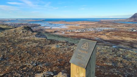
Helgafell Circle from Varmárlaug
Running:
8.25km
Difficulty
Level 2
An enjoyable mountain run on Helgafell in Mosfellsbær (216 m), starting at the Varmá sports…
Mosfellsbær
Image
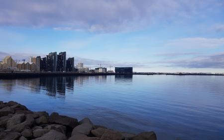
Coastal loop from Laugardalslaug
Running:
17.12km
Difficulty
Level 2
A long, varied run on paved paths along Reykjavík's coastline, from Laugardalslaug via Sæbraut…
Reykjavík
Image
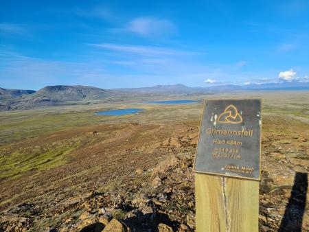
Grímannsfell from Gljúfrasteinn
Running:
10.54km
Difficulty
Level 3
A challenging mountain run on Grímannsfell, the highest mountain in the Mosfellsbær area (484…
Mosfellsbær
Image
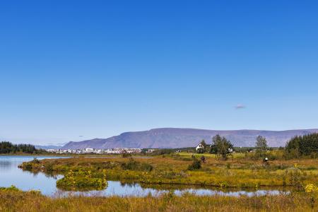
Elliðavatn Circle from Árbæjarlaug
Running:
12.65km
Difficulty
Level 2
A varied run around Elliðavatn, from Árbæjarlaug via Norðlingaholt, Rauðhólar and Vatnsendi…
Reykjavík
Kópavogur
Image
Forest loop in Esja
Running:
5.03km
Difficulty
Level 2
An enjoyable, sheltered trail run through the forestry area in the Esja slopes by Mógilsá,…
Reykjavík
Image
Æsustaðafell and Reykjafell
Walk:
6.32km
Difficulty
Level 2
The hike to Æsustaðafjall and Reykjafell is a family-friendly loop in Mosfellsdalur, featuring…
Mosfellsbær
Image
The little Ríkishringur in Heiðmörk
Running:
5.99km
Difficulty
Level 1
A short, easy trail run in Heiðmörk, a shorter version of the well-known Ríkishringur. An…
Reykjavík
Image
Elliðaárdalur loop from Elliðaárstöð
Running:
12.33km
Difficulty
Level 2
A varied run through Elliðaárdalur, one of the largest and most popular green areas in…
Reykjavík
Image
Fossvogur valley from Laugardalslaug
Running:
13.45km
Difficulty
Level 2
A popular urban running route on paved paths from Laugardalslaug through the Fossvogur valley…
Reykjavík
Image
Grafarvogur loop from Árbæjarlaug
Running:
12.21km
Difficulty
Level 2
An accessible run on paved paths from Árbæjarlaug into Grafarvogur and along the mudflats of…
Reykjavík
Image
Úlfarsfell frá skógræktinni
Walk:
5.70km
Difficulty
Level 1
A scenic circular hike through the woodlands of Hamrahlíð to the summit of Úlfarsfell,…
Mosfellsbær
Reykjavík
Image
Móskarðshnjúkar
Running:
8.03km
Difficulty
Level 3
Móskarðshnjúkar are two striking peaks east of Mt. Esja. A demanding trail-running route on a…
Reykjavík
Image
Esja up to Steinn
Running:
6.69km
Difficulty
Level 3
Esja up to Steinn is the most popular mountain route near the capital region. A demanding…
Reykjavík
Image
Grímannsfell from Bringur
Running:
5.54km
Difficulty
Level 2
Grímannsfell is the highest mountain in Mosfellsbær. A running route from Bringur up to…
Mosfellsbær
Image
Úlfarsfell from Skarhólabraut
Running:
3.55km
Difficulty
Level 2
The steepest route up Úlfarsfell, from Skarhólabraut. A short, intense trail-running route…
Mosfellsbær
Reykjavík
Image
Úlfarsfell from Úlfarsfellsvegur
Running:
4.34km
Difficulty
Level 2
A popular running route up Úlfarsfell from Úlfarsfellsvegur, on the boundary of Reykjavík and…
Mosfellsbær
Reykjavík
Image
Öskjuhlíð
Running:
5.99km
Difficulty
Level 2
Öskjuhlíð is a unique recreational area close to central Reykjavík with varied nature and…
Reykjavík
Image
Airport loop from Sundhöllin
Running:
8.45km
Difficulty
Level 1
An easy, accessible urban run on paved paths from Sundhöll Reykjavíkur around Reykjavík…
Reykjavík
Image
Airport loop from Vesturbæjarlaug
Running:
8.19km
Difficulty
Level 1
An easy, accessible run on paved paths from Vesturbæjarlaug around Reykjavík Airport in…
Reykjavík
Image
From Laugardalur to Skarfaklettur and Vogar
Bike:
11.41km
Difficulty
Level 1
A fun and diverse 12 km cycling route starting in Laugardalur, following the shoreline through…
Reykjavík
Pagination
First page
« First
Previous page
‹‹
Page
1
Page
2
Page
3
Page
4
Page
5
Next page
››
Last page
Last »