Around Bessastaðatjörn
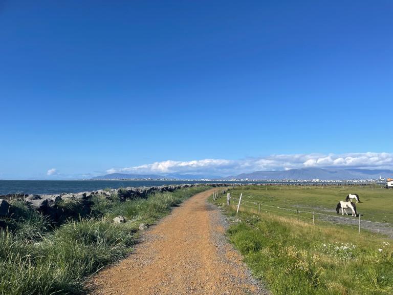
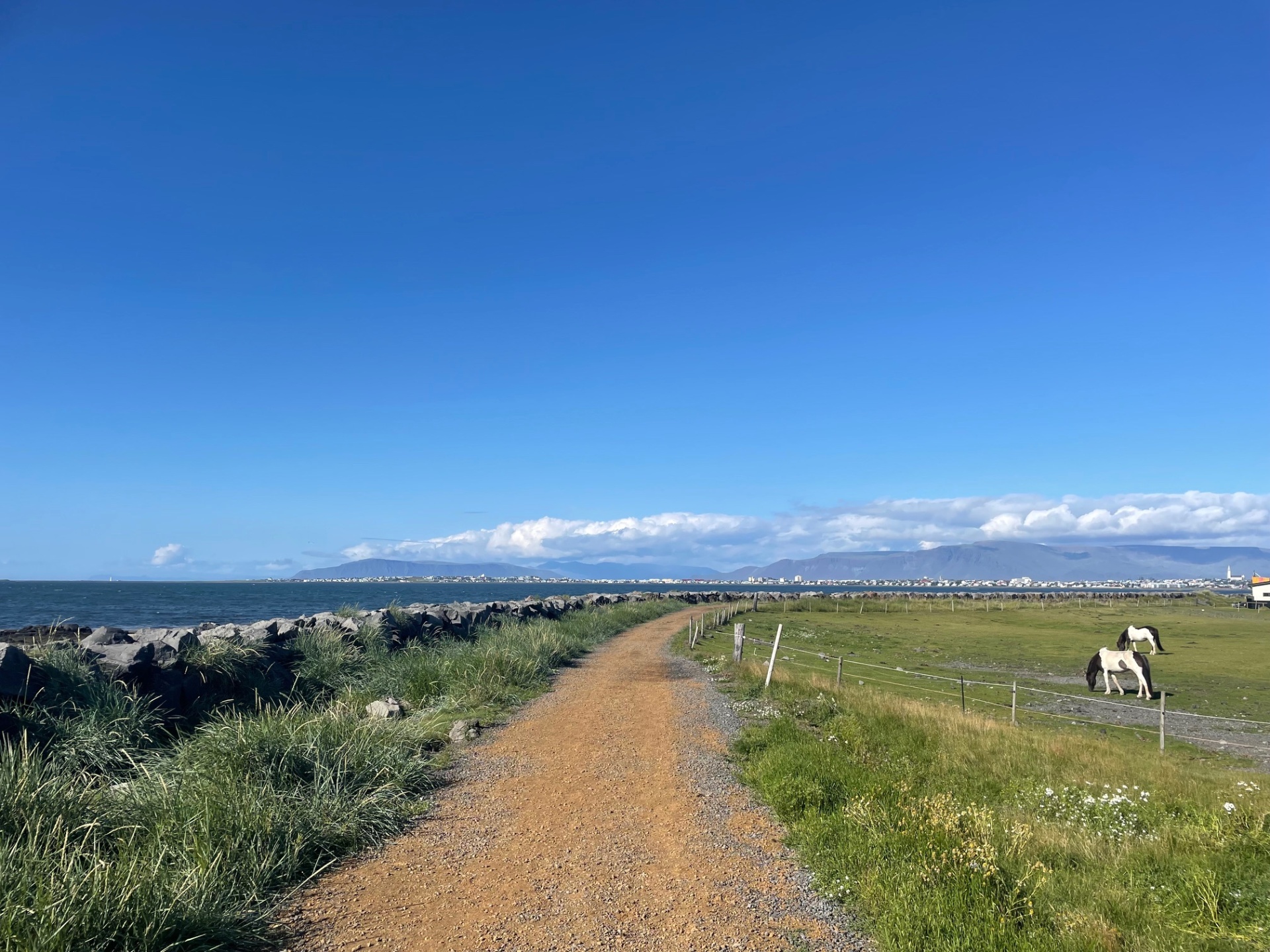
Around Bessastaðatjörn lies a walking route of just over 6 km. The path does not follow the banks of the pond for the entire loop but instead makes a large circuit around the area. The walk begins at Kasthúsatjörn, where a clear gravel path runs along the seashore. Here, on clear days, there are magnificent views over Faxaflói Bay and the Snæfellsnes Peninsula.
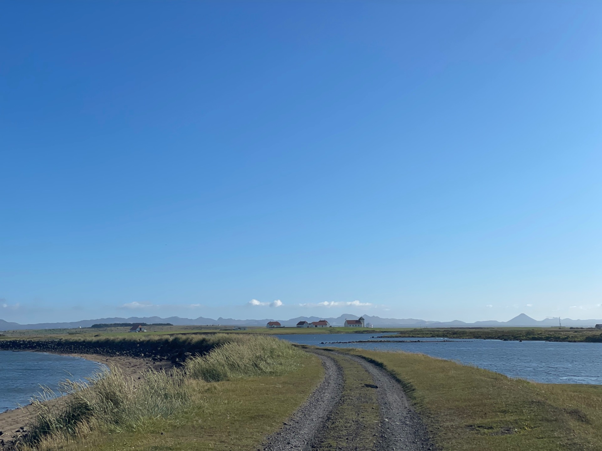
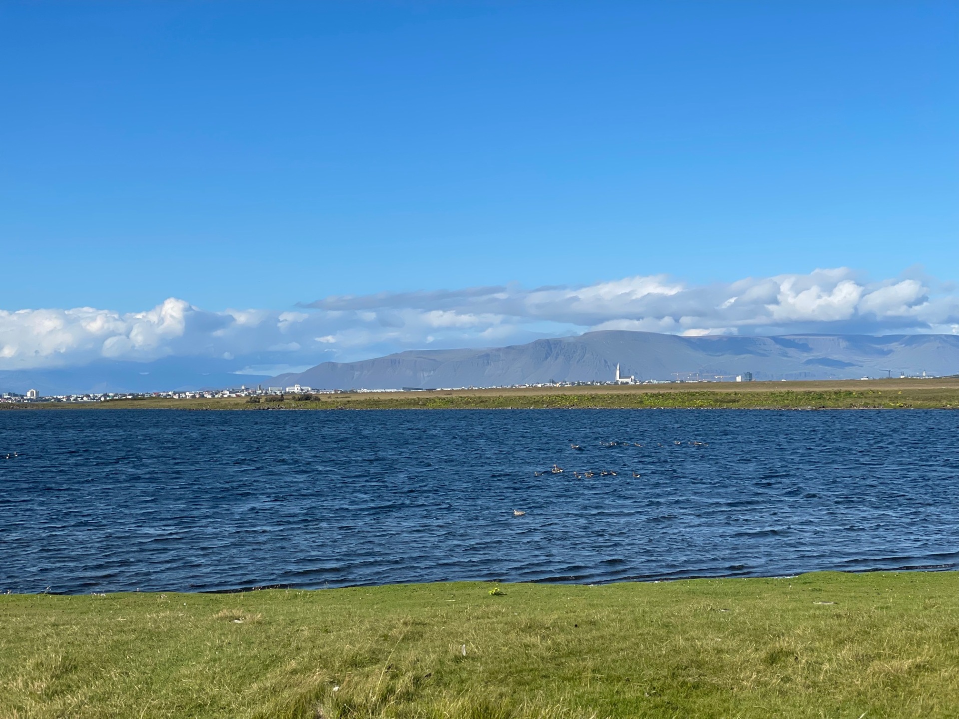
When the path changes into an old road, you can see a stone-built watchtower, a relic from the war years when soldiers stood guard along the shore. On the right-hand side, you can see Bessastaðatjörn, which remained separated from the sea until a land reclamation project in the mid-20th century.
The walking route continues to Skansinn on the Bessastaðir Peninsula, where an information signs tell the incredible history of the place, including events connected to the Turkish Abductions in 1627. From Skansinn, the path continues toward the presidential residence at Bessastaðir. The route follows Bessastaðavegur to the roundabout, from where it returns to Kasthúsatjörn.
Kasthúsatjörn
Detailed Information
Duration
Distance
Difficulty
Cumulative Elevation Gain
Maximum Altitude
Available
Access
Path Visibility
Path Lighting
Path Width
Path Obstacles
Services
Gpx Start Point
Gpx Starting Point Elevation
Cumulative Elevation Loss
Maximum Altitude Coordination
Minimum Altitude
Minimum Altitude Coordinations
Route Distance
Tímabundnar upplýsingar
Dogs prohibited during nesting season from April 15 to July 4


