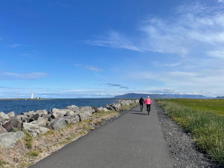
Around Reykjavik and Seltjarnarnes
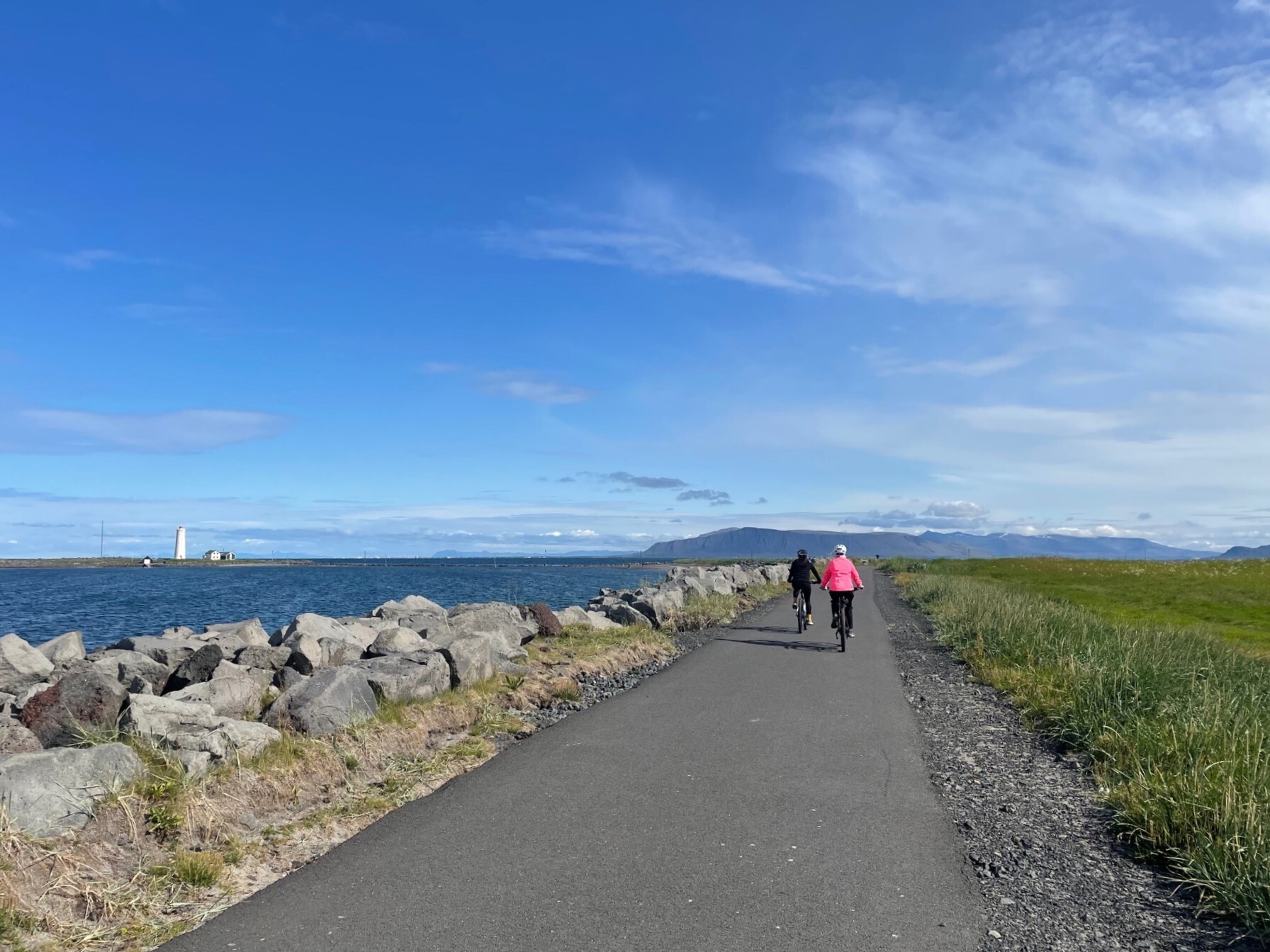
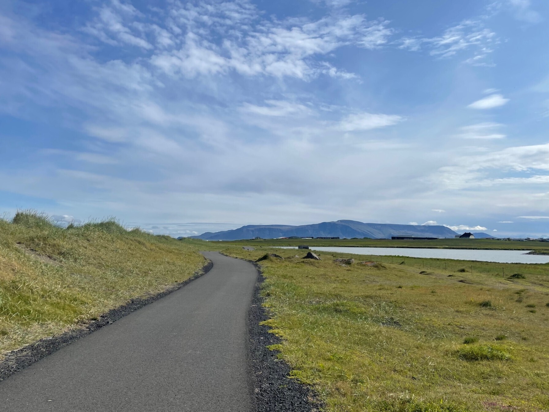
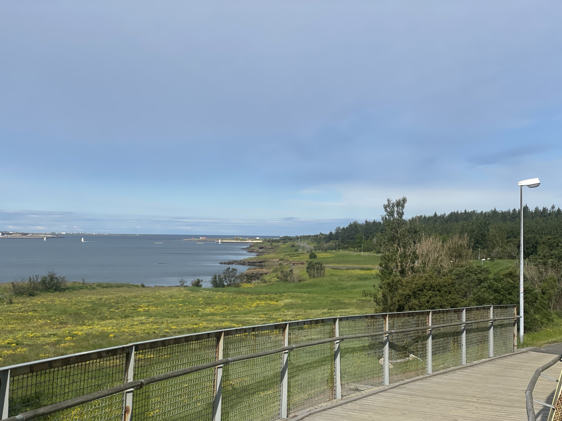
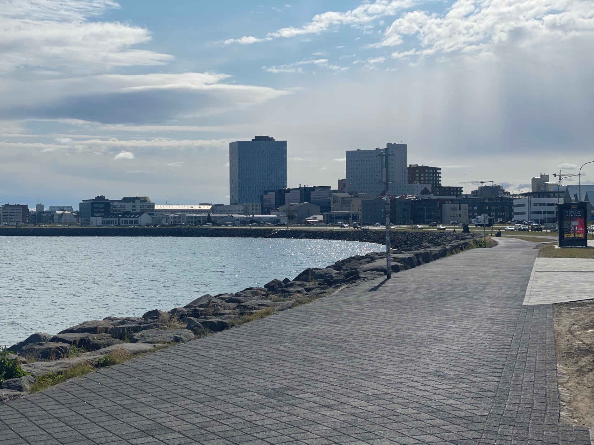
The bike route begins at the bridge that crosses Kringlumýrarbraut, and from there continues west toward Nauthólsvík. The route proceeds to Skeljanes and Einarsnes until reaching Ægisíða. The path along Ægisíða is followed to Seltjarnarnes, and then a left turn is taken at Suðurströnd. The route continues all the way to the golf course in Seltjarnarnes and to the Grótta lighthouse. From there, the route follows Norðurströnd to Grandi and turns onto Mýrargata heading toward Harpa. The bike path along Sæbraut is followed until Sæbraut is crossed at Súðarvogar. The path continues toward Bíldshöfði, where the underpass beneath Vesturlandsvegur is taken. The route then follows Rafstöðvarvegur and crosses the bridge over the Elliðaá river and the underpass that leads to Fossvogur. The bike path through Fossvogur is followed until returning to the starting point.
Bridge crossing Kringlumýrarbraut
