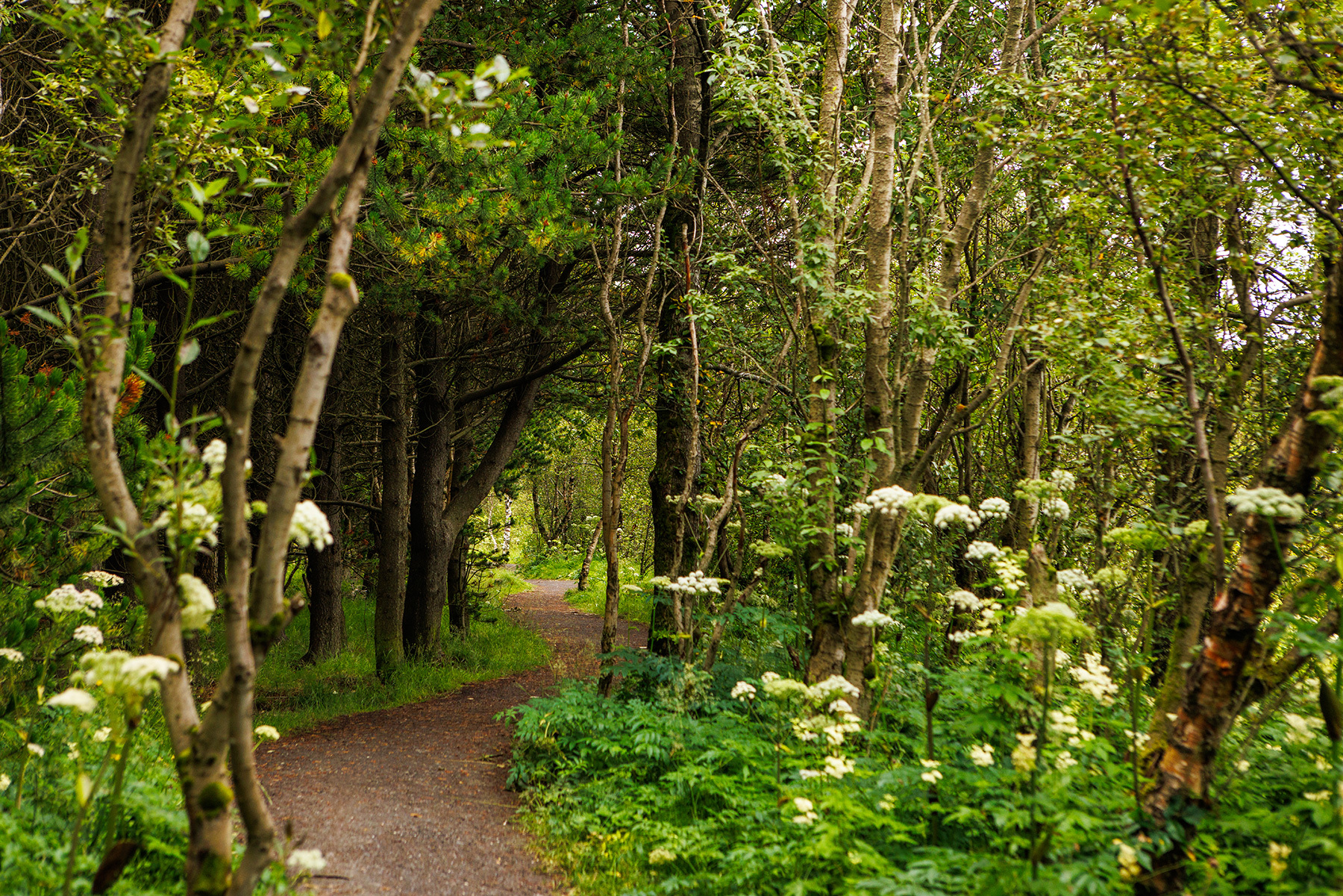
The Elliðaárdalur Circle
A fun and short circular route around Hólmi in Elliðaárdalur, perfect for the whole family. The walk starts at Elliðaárstöð, following a trail through the forested area. Before reaching Rafveituheimilið, the path turns right over a wooden bridge, then continues left towards Kermóafossar. It’s enjoyable to walk down to the waterfalls, take in the sound and beauty of the surroundings. The hike continues along the trail through Hólmi, where several clearings feature design installations placed throughout the valley—worth a small detour to explore. The route eventually loops back to the starting point. After the walk, visitors can explore the area around Elliðaárstöð, which has seen significant development in recent years, including a café and a fun playground.
Parking lot in Elliðaárdalur
Detailed Information
Duration
Distance
Difficulty
Cumulative Elevation Gain
Maximum Altitude
Available
Access
Path Visibility
Path Lighting
Path Surface
Path Width
Path Dangers
Path Obstacles
Gpx Start Point
Gpx Starting Point Elevation
Cumulative Elevation Loss
Maximum Altitude Coordination
Minimum Altitude
Minimum Altitude Coordinations
Route Distance
Points of Interest
https://ellidaarstod.is/
