Fógetastígur in Gálgahraun
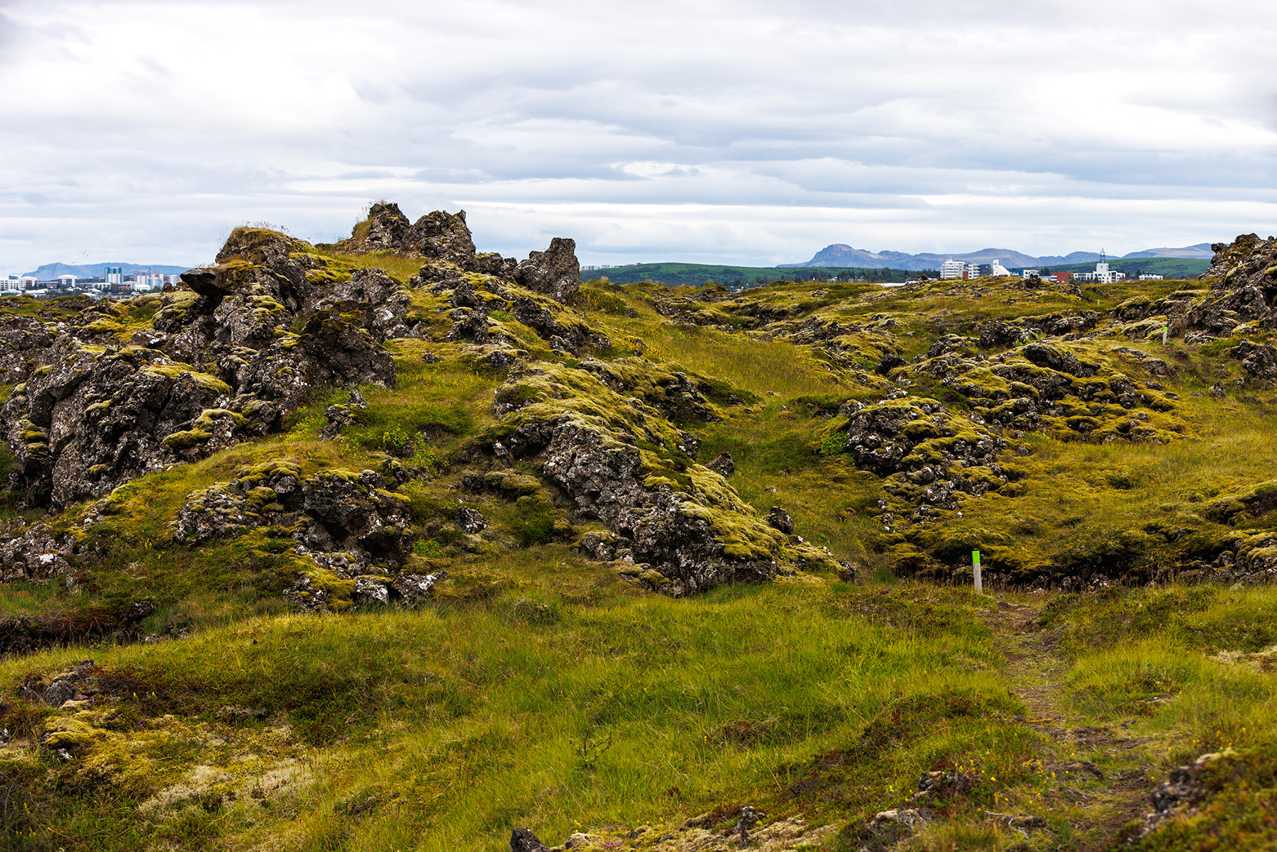
In Garðabær, there is an exceptionally beautiful hiking trail through Gálgahraun called Fógetastígur. Fógetastígur was the ancient route between Bessastaðir and Reykjavik, named after the office of the landfógeti (sheriff), who always resided at Bessastaðir. The journey begins at the parking lot at the roundabout where Vífilsstaðavegur and Hraunholtsbraut meet. At the start of the walk, there is an educational sign about the history of the area and the ancient routes, which is interesting to read. The trail is circular, beginning along the beautiful, scale-cut beach and leading to Gálgaklettar. In Gálgahraun, numerous cave shelters, cups, crevices, and hollows can be found. When you reach Lambhúsatjörn, the path turns south, and then you walk back toward the starting point. The trail is about 5 km long. The area in question is the northernmost part of the so-called Búrfell Lava, which flowed from the Búrfell volcano over 7,000 years ago. Gálgahraun was protected in 2009, and the lava remains mostly as it was when it flowed, with its geological formations, vegetation, and birdlife being the basis for its protection.
Hraunsholt / Gálgahraun
Detailed Information
Duration
Distance
Difficulty
Cumulative Elevation Gain
Maximum Altitude
Available
Access
Path Visibility
Path Lighting
Path Surface
Path Width
Path Dangers
Path Obstacles
Services
Gpx Start Point
Gpx Starting Point Elevation
Cumulative Elevation Loss
Maximum Altitude Coordination
Minimum Altitude
Minimum Altitude Coordinations
Route Distance