The Forest Circle in Heiðmörk
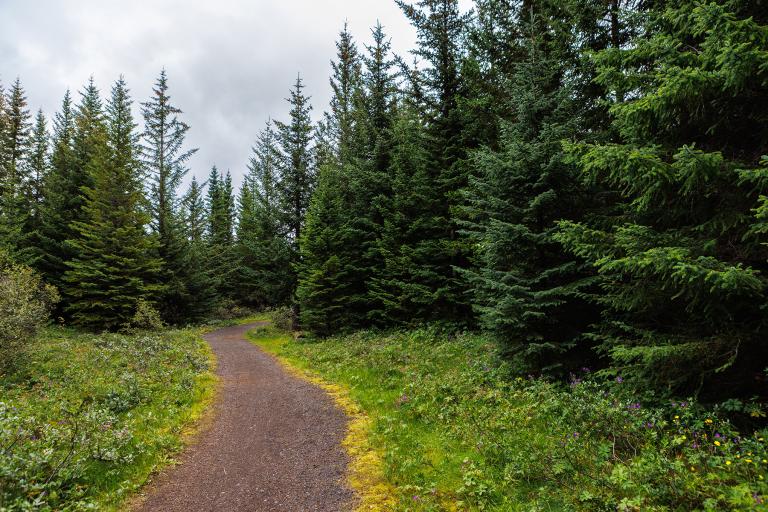
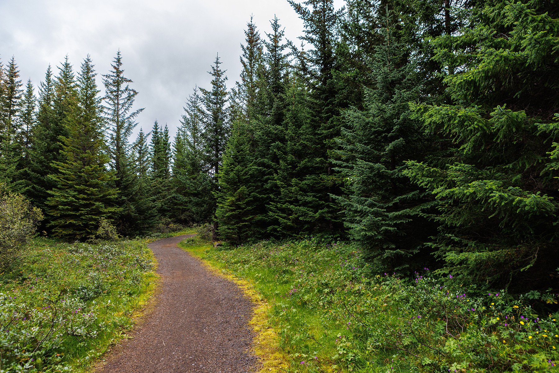
Skógarhringurinn, or the Forest Circle, in Heiðmörk is a highly enjoyable and family-friendly hiking trail, well-marked with green posts and spanning 3.5 km in length. Along the route, hikers will come across Furulundur, a family grove equipped with playgrounds, a volleyball court, and barbecue facilities. Further along, Dropinn provides a rest area with grills, tables, and benches. Another family grove on the trail is Grenilundur, which features barbecue facilities along with play and climbing equipment. This short loop is perfect for a leisurely walk while bringing along a picnic to enjoy a fun day in the forest. Heiðmörk is managed by the Reykjavík Forestry Association, a non-profit organization. More information can be found at heidmork.is.
Borgarstjóraplan, a parking area in Heiðmörk
Detailed Information
Duration
Distance
Difficulty
Cumulative Elevation Gain
Maximum Altitude
Available
Access
Path Visibility
Path Lighting
Path Surface
Path Width
Path Dangers
Path Obstacles
Services
Gpx Start Point
Gpx Starting Point Elevation
Cumulative Elevation Loss
Maximum Altitude Coordination
Minimum Altitude
Minimum Altitude Coordinations
Route Distance
