Image

Municipality
Hvaleyrarvatn
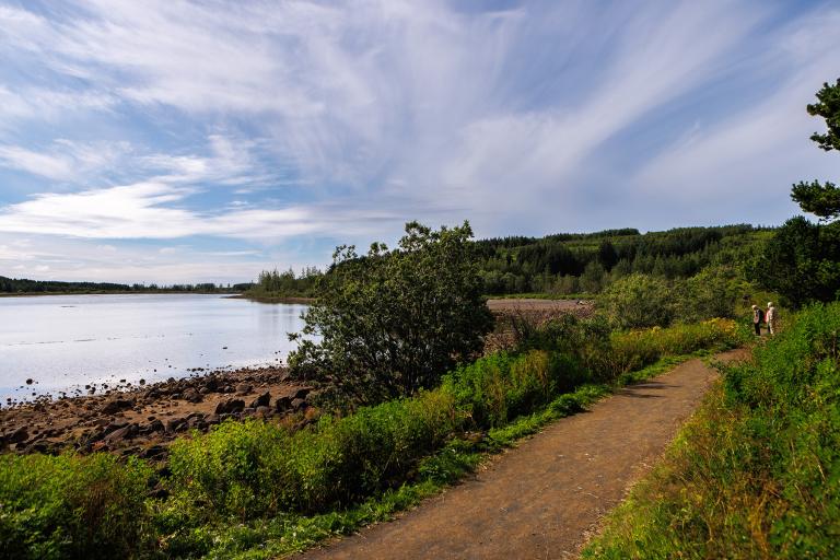
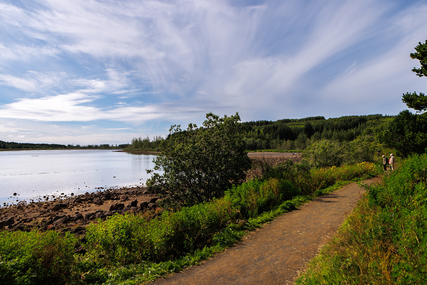
Hvaleyrarvatn and its surroundings offer an exceptionally beautiful outdoor recreation area. The region is surrounded by forests and diverse vegetation, with numerous walking trails that invite exploration. Several well-maintained paths wind around the lake, making it an ideal spot for a relaxing stroll. The area is perfect for a family outing, with excellent facilities for picnics and leisure activities. The walking path around the lake is approximately 2 kilometers long, making it easily accessible for most visitors. Along the way, benches provide opportunities to take a break, rest, and enjoy the serenity and natural beauty of the surroundings.
Starting Point
Parking lots by Hvaleyrarvatn (north and west sides of the lake)
Detailed Information
Duration
Distance
1.96km
Difficulty
Cumulative Elevation Gain
161,9m
Maximum Altitude
141,6m
Available
Access
Path Visibility
Path Lighting
Path Surface
Path Width
Path Dangers
Path Obstacles
Gpx Start Point
64
.03,
-21.
92
Gpx Starting Point Elevation
102,9m
Cumulative Elevation Loss
158,2m
Maximum Altitude Coordination
64
.03,
-21.
92
Minimum Altitude
97,7m
Minimum Altitude Coordinations
64
.03,
-21.
92
Route Distance
1.964,5m
