Reykjaborg and Lali
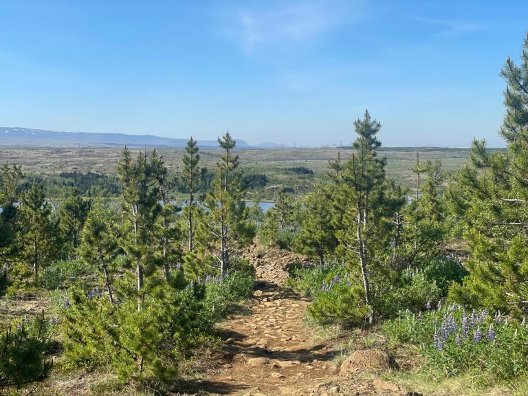
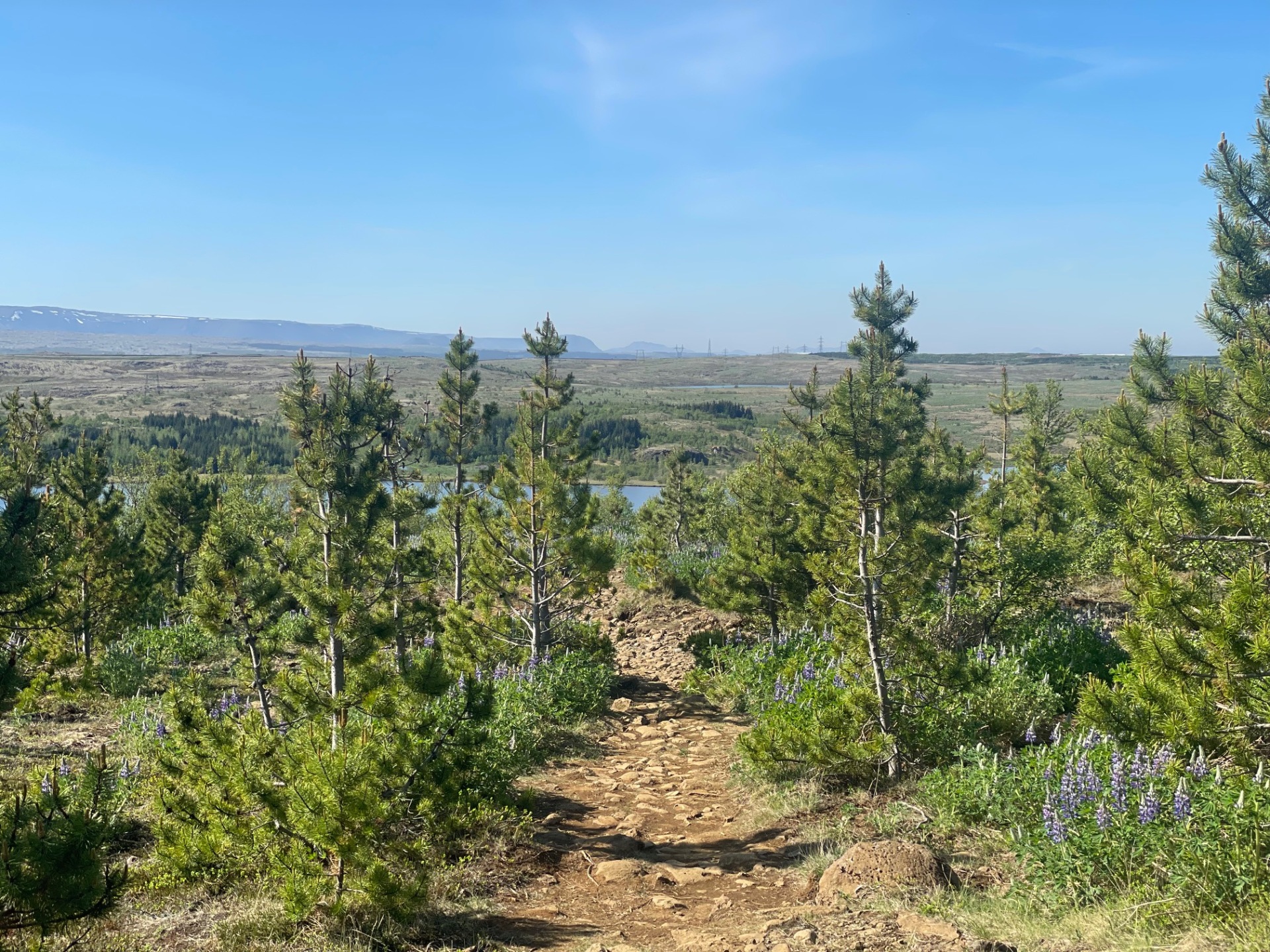
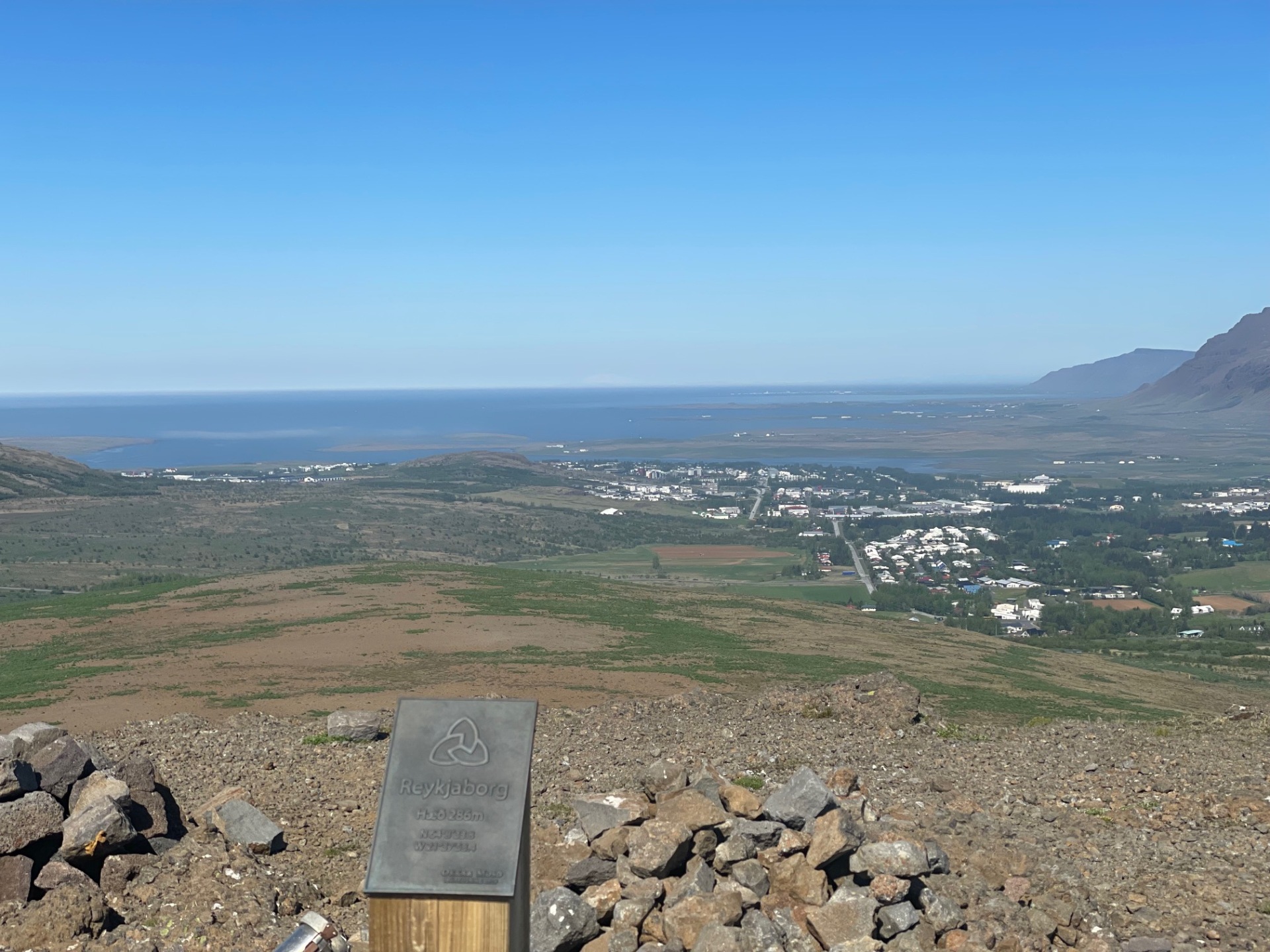
The two mountains Reykjaborg and Lali are neither steep nor high, making them ideal for a comfortable and varied hike with beautiful views. The hike begins at the parking lot near Hafrafellsrétt, where the trail leads through a forested area. Trail markers (stakes) guide the way forward. After reaching a road, hikers cross it and continue to follow the markers toward Borgarvatn lake. At the northern end of the lake, turn left and ascend to the top of Reykjaborg. From the summit, you can enjoy stunning views of Mosfellsbær, Mount Esja and the nearby surroundings on clear days. From Reykjaborg, the path continues toward Hafrahlíð and to the summit known as Lali. Here, the trail markers disappear, but a clear path can still be followed toward the cairn (varða) at the top. The trail becomes faint in one slope, but keep heading straight toward Reykjavík. From Lali’s summit, there are panoramic views over Úlfarsfell, Reykjavík, Reykjanes peninsula, Vífilsfell, and Bláfjöll mountains. The return route descends the hillside, crosses the road again, and follows a right turn back to the forest area and the parking lot.
Parking lot by Hafravatnsrétt

