Reynisvatn
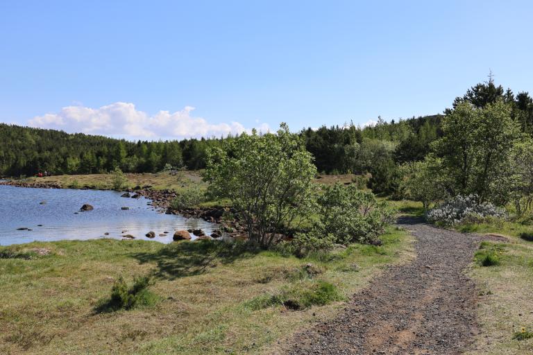
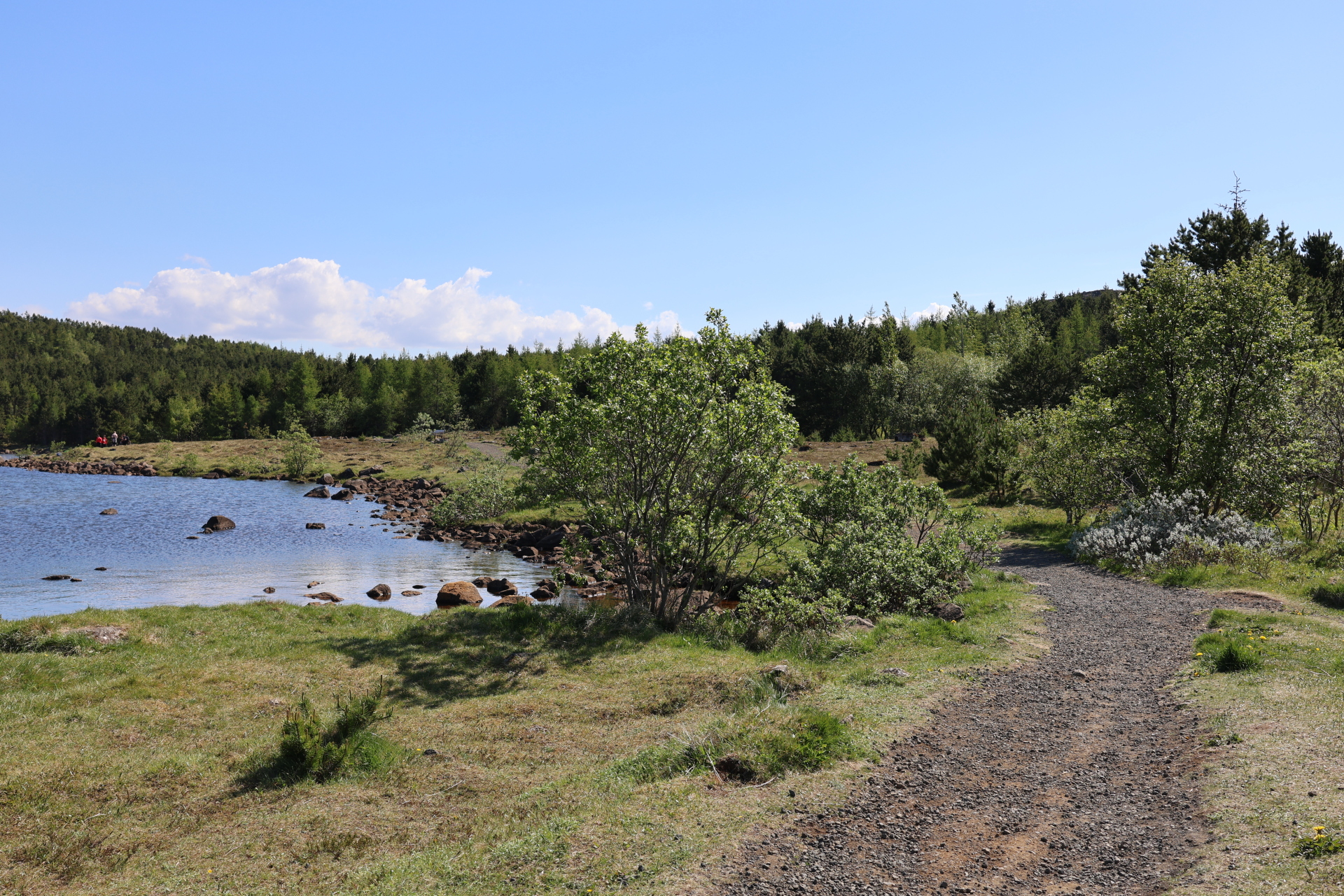
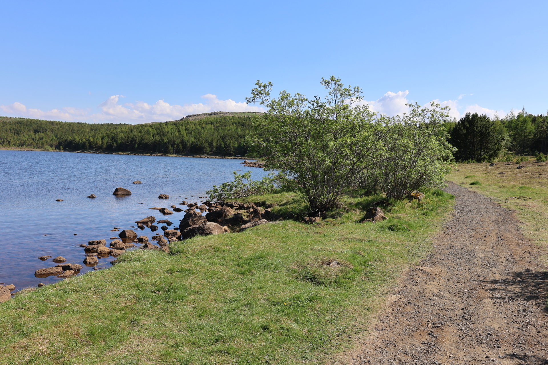
Reynisvatn is a small and peaceful lake located east of Grafarholt in Reykjavík, surrounded by a lush forest that provides shelter and attracts a wide variety of birds. The lake lies in a beautiful hollow between glacier-eroded basalt hills, where ancient geological formations, fissures, and faults create an interesting landscape.
A trail runs all the way around the lake and is suitable for those seeking a light walk, a jogging loop, or a family-friendly outdoor area. The path is easy to navigate and well-marked. Benches are placed in carefully selected spots where visitors can sit and enjoy the surroundings.
Birdlife around Reynisvatn is diverse, especially in spring and summer when moorland birds nest in the area. The vegetation in the surrounding hills is varied, including moss, heath, and grassy areas. Reynisvatn also connects to the Austurheiðar trail system, which spans the area from Rauðavatn to Langavatn. The Austurheiðar are three adjacent heathlands above the residential area in eastern Reykjavík, offering countless opportunities for longer hikes, bike rides, and nature observation for all age groups. Those wishing to extend their walk from Reynisvatn can easily continue into this enjoyable outdoor recreation area.
This short walk is ideal for a brief outdoor trip, birdwatching, or simply a pleasant moment in nature—just a stone's throw from the bustle of the city.
Parking lot by Reynisvatn

