Seltjarnarnes and golf course
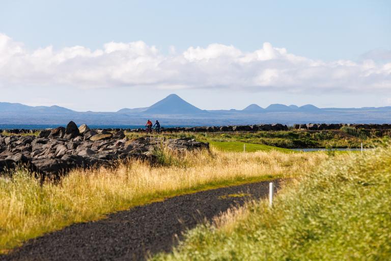
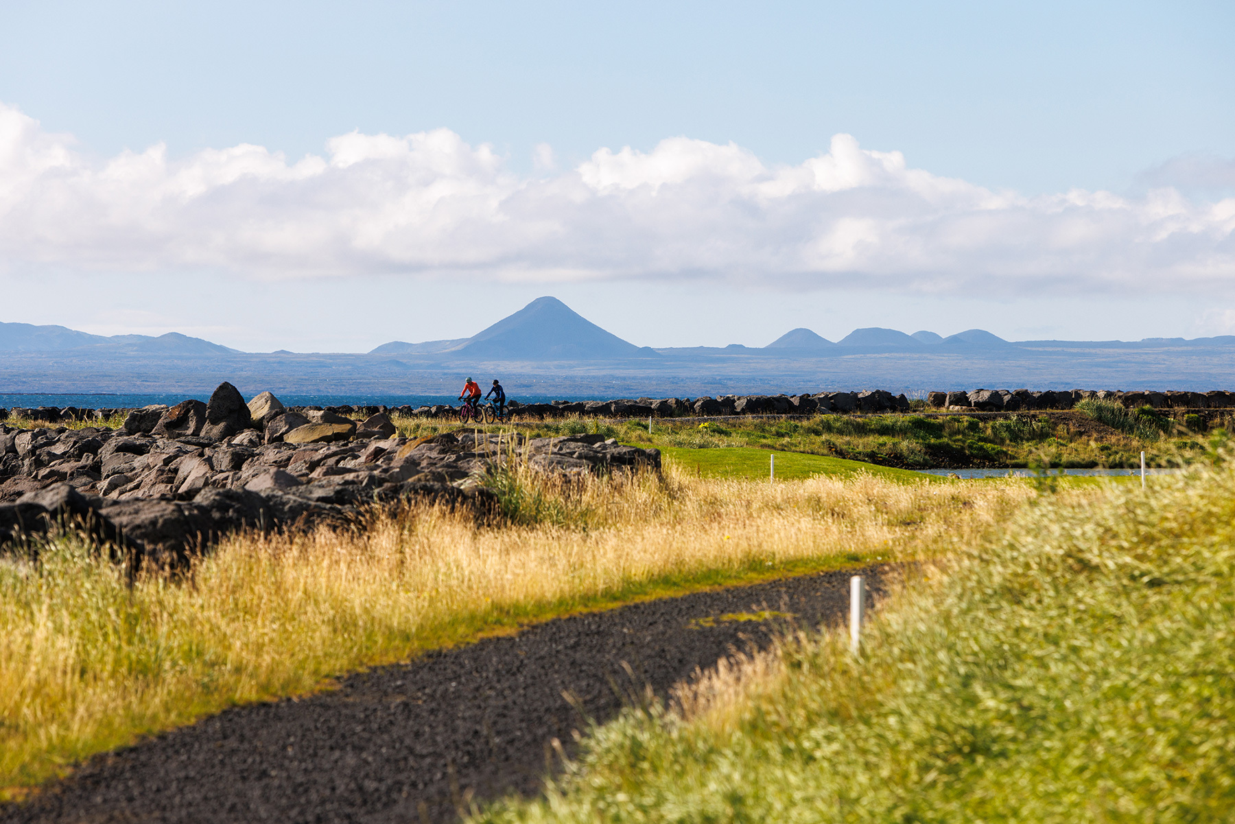
Seltjarnarnes offers excellent cycling paths through beautiful natural areas. This 7.5 km cycling loop follows the coastline of Seltjarnarnes and the golf course, starting at the Grótta parking area. The route begins along the shoreline, passing Bakkatjörn towards the golf course at the southern tip of the peninsula. From there, the path continues onto a gravel trail that follows the coastline around the golf course. The ride then transitions onto a paved path along the southern coast of Seltjarnarnes, heading east past the swimming pool and across the peninsula near Eiðistorg. Upon reaching the northern shoreline, the route turns left and continues back to Grótta, where the ride concludes. This scenic and enjoyable route is particularly delightful for cycling, especially on summer evenings, offering stunning coastal views and a pleasant riding experience.
Parking lot by Grótta
Detailed Information
Duration
Distance
Difficulty
Cumulative Elevation Gain
Maximum Altitude
Available
Access
Path Visibility
Path Lighting
Path Surface
Path Width
Path Dangers
Path Obstacles
Gpx Start Point
Gpx Starting Point Elevation
Cumulative Elevation Loss
Maximum Altitude Coordination
Minimum Altitude
Minimum Altitude Coordinations
Route Distance
