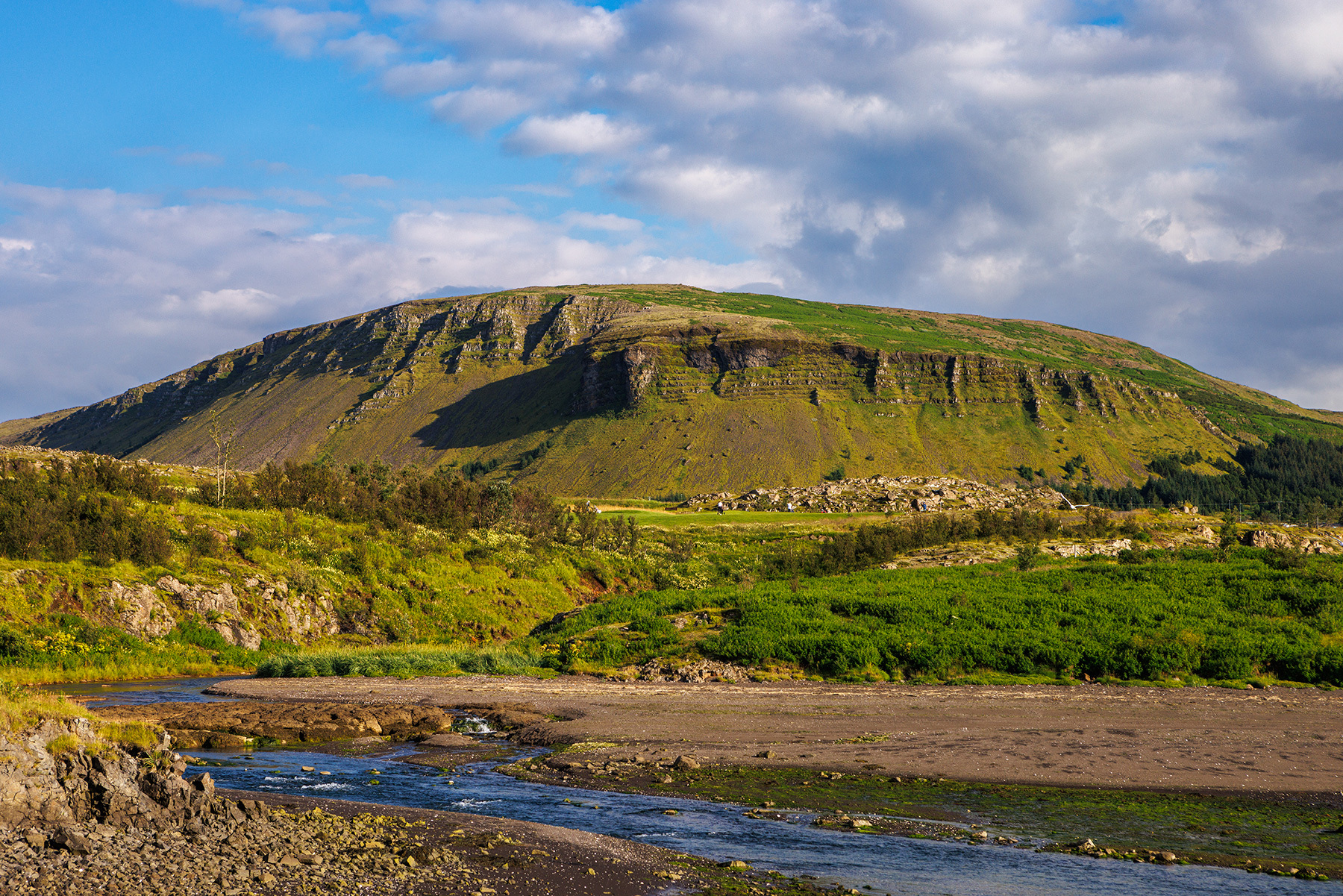
Úlfarsfell
Úlfarsfell is an accessible and enjoyable hiking destination suitable for year-round visits and hikers of all fitness levels. It is easy to reach and offers a quick ascent and descent. This hike starts from the Leirtjörn parking area, located above Úlfarsárdalur in Reykjavík, on the southern side of Úlfarsfell. From there, a well-marked trail leads to the summit's highest point, known as Stórihnúkur, where a viewing platform provides a stunning panorama of the capital area. Several trails descend the fell, but this route follows an old vehicle track back to the parking area. Úlfarsfell, situated on the border between Mosfellsbær and Reykjavík, stands at 296 meters above sea level. Its geological foundation dates back to the mid-Ice Age, approximately two million years old, consisting of alternating lava flows from warm periods and layers of tuff and glacial deposits from colder phases. The vegetation along the trail is characterized by heathland, with extensive afforestation efforts in the slopes, along with a noticeable spread of lupine, which has established itself in the area.
Parking lot at Úlfarsfellsvegur
Detailed Information
Duration
Distance
Difficulty
Cumulative Elevation Gain
Maximum Altitude
Available
Access
Path Visibility
Path Lighting
Path Surface
Path Width
Path Dangers
Path Obstacles
Services
Gpx Start Point
Gpx Starting Point Elevation
Cumulative Elevation Loss
Maximum Altitude Coordination
Minimum Altitude
Minimum Altitude Coordinations
Route Distance