Image
Municipality
Úlfarsfell from Skarhólabraut
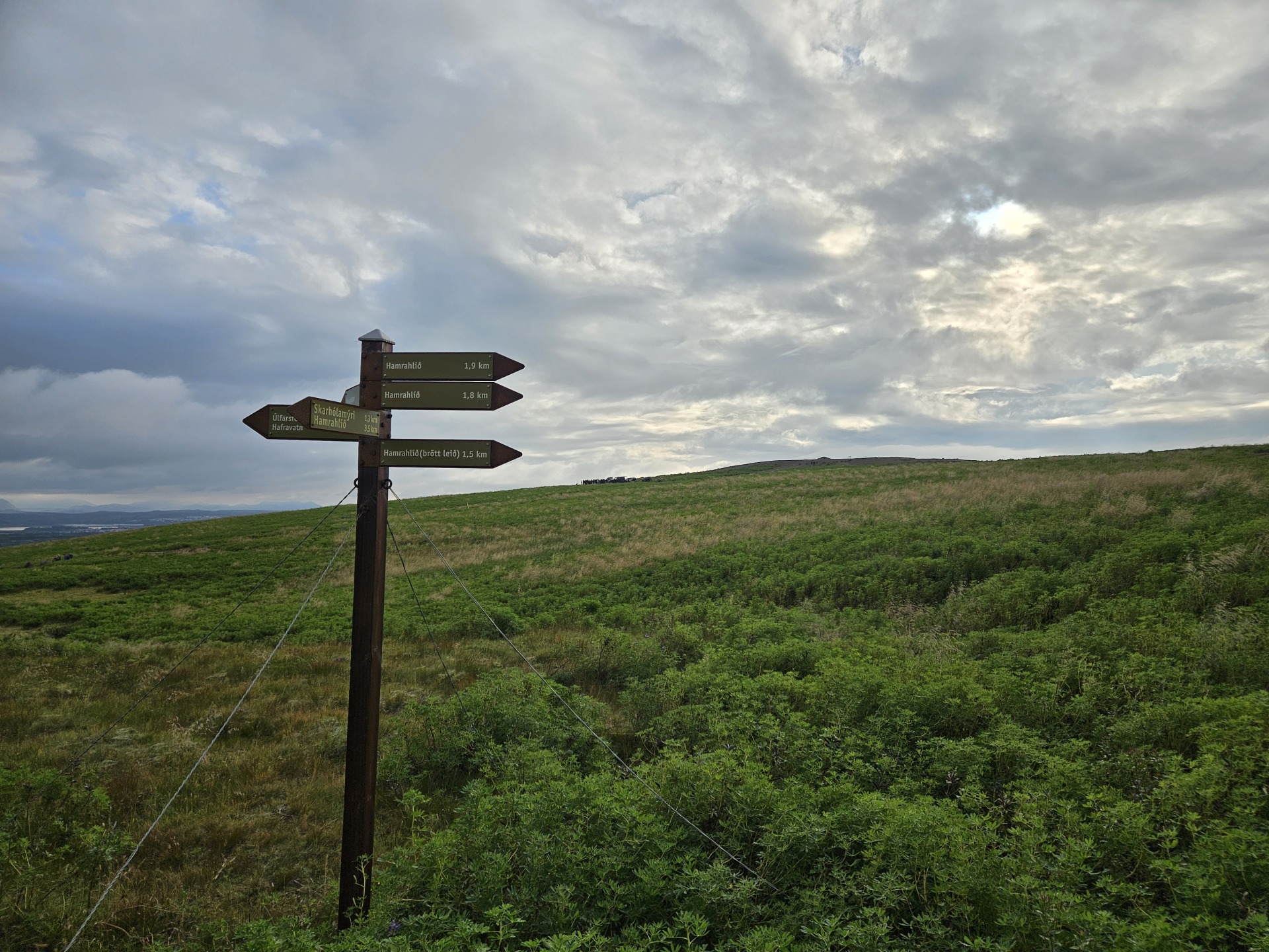
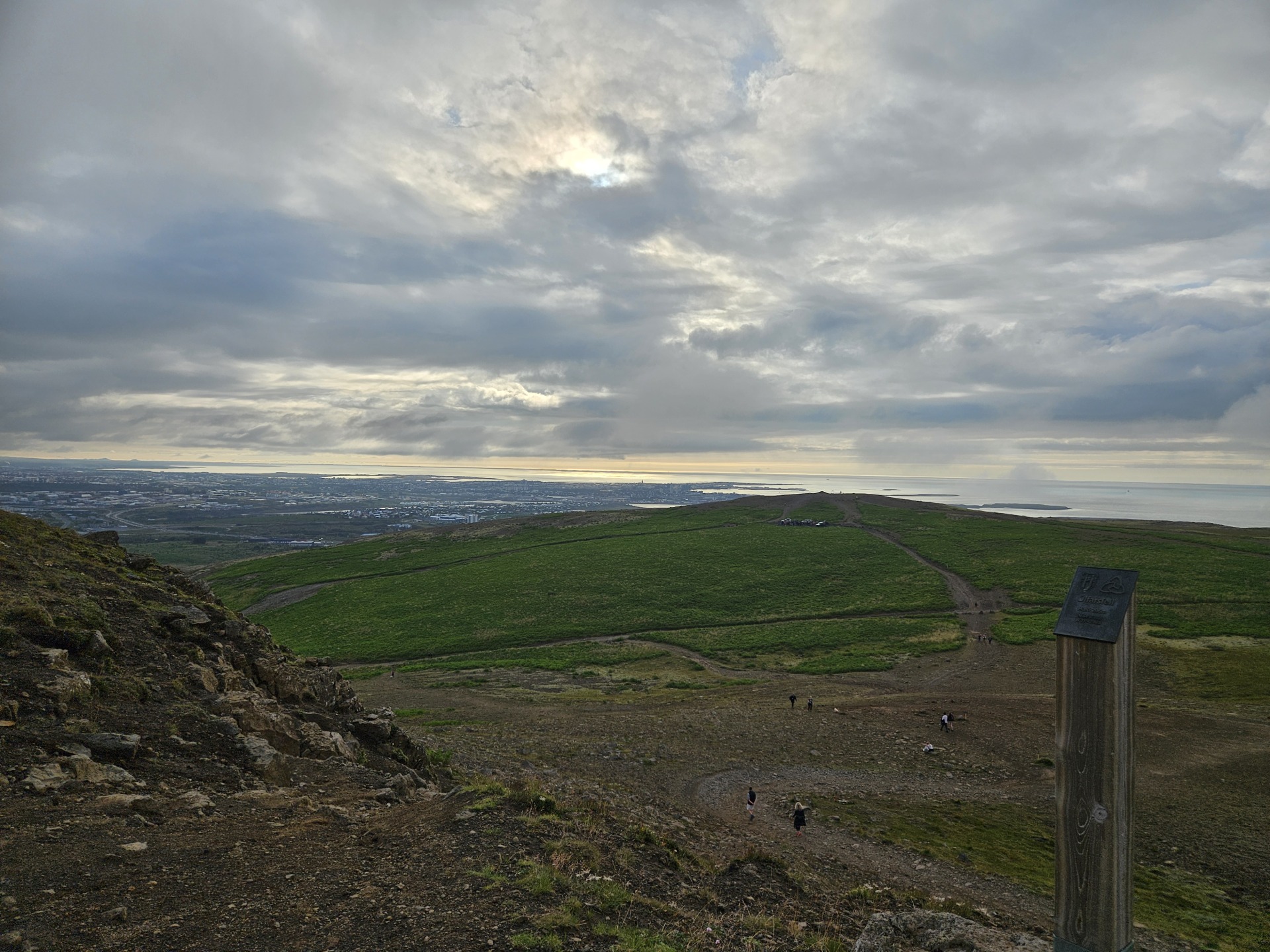
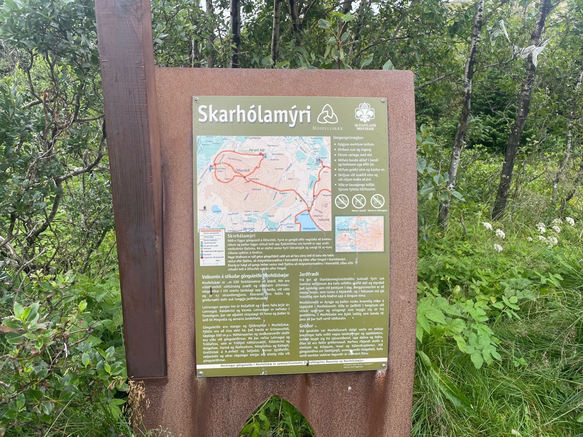
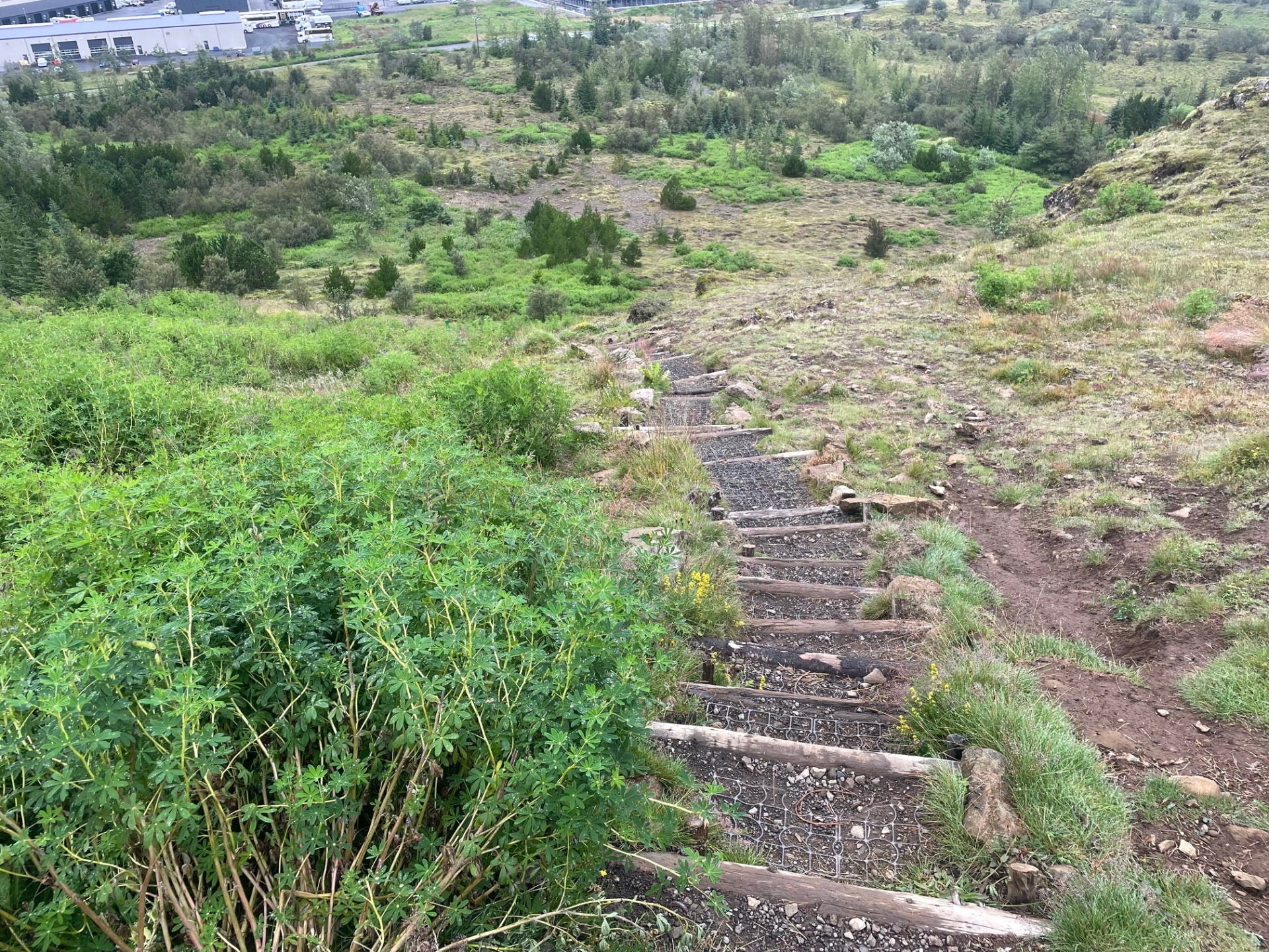
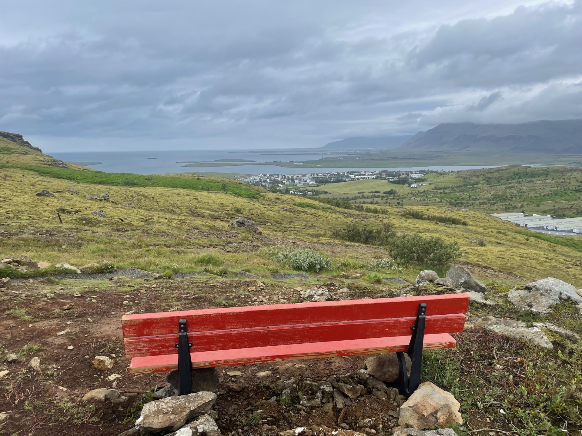
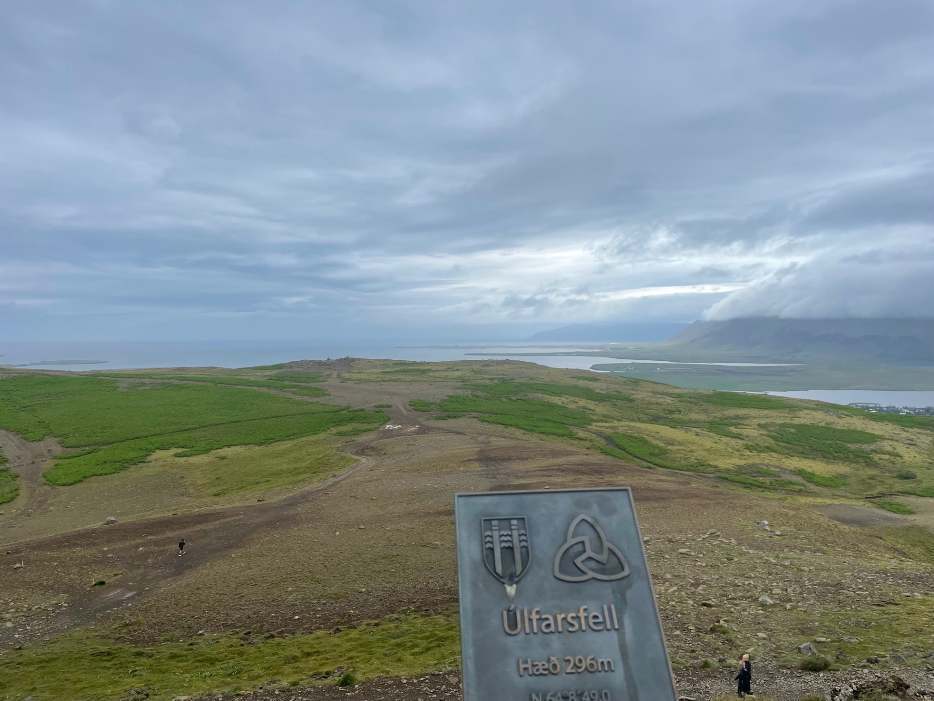
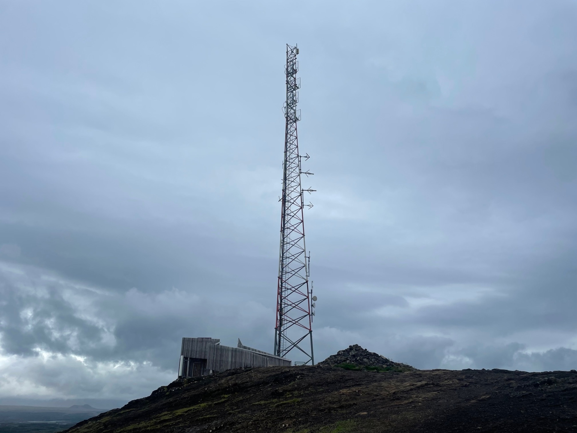
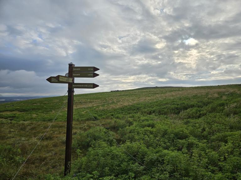
The hiking trail from Skarhólabraut up to Úlfarsfell is enjoyable and family-friendly. The path is well-marked, and the scouts in Mosfellsbær have installed around 250 steps on the hillside, making the hike easier and safer. The route to the top of Stórihnjúkur is about 1.6 km long and offers magnificent views in all directions. At the summit, it is ideal to sit down, enjoy the scenery, and take in the landscape. Four orientation signs have been set up at the top, pointing in all directions and potentially providing inspiration for your next hike. The same path is then followed back down to the parking lot.
Starting Point
Skarhólamýri
Detailed Information
Duration
Distance
3.55km
Difficulty
Cumulative Elevation Gain
200,8m
Maximum Altitude
355,1m
Available
Access
Path Visibility
Path Lighting
Path Surface
Path Width
Path Dangers
Path Obstacles
Services
Gpx Start Point
64
.15,
-21.
69
Gpx Starting Point Elevation
155,3m
Cumulative Elevation Loss
200,8m
Maximum Altitude Coordination
64
.14,
-21.
71
Minimum Altitude
155,3m
Minimum Altitude Coordinations
64
.15,
-21.
69
Route Distance
3.547,3m
